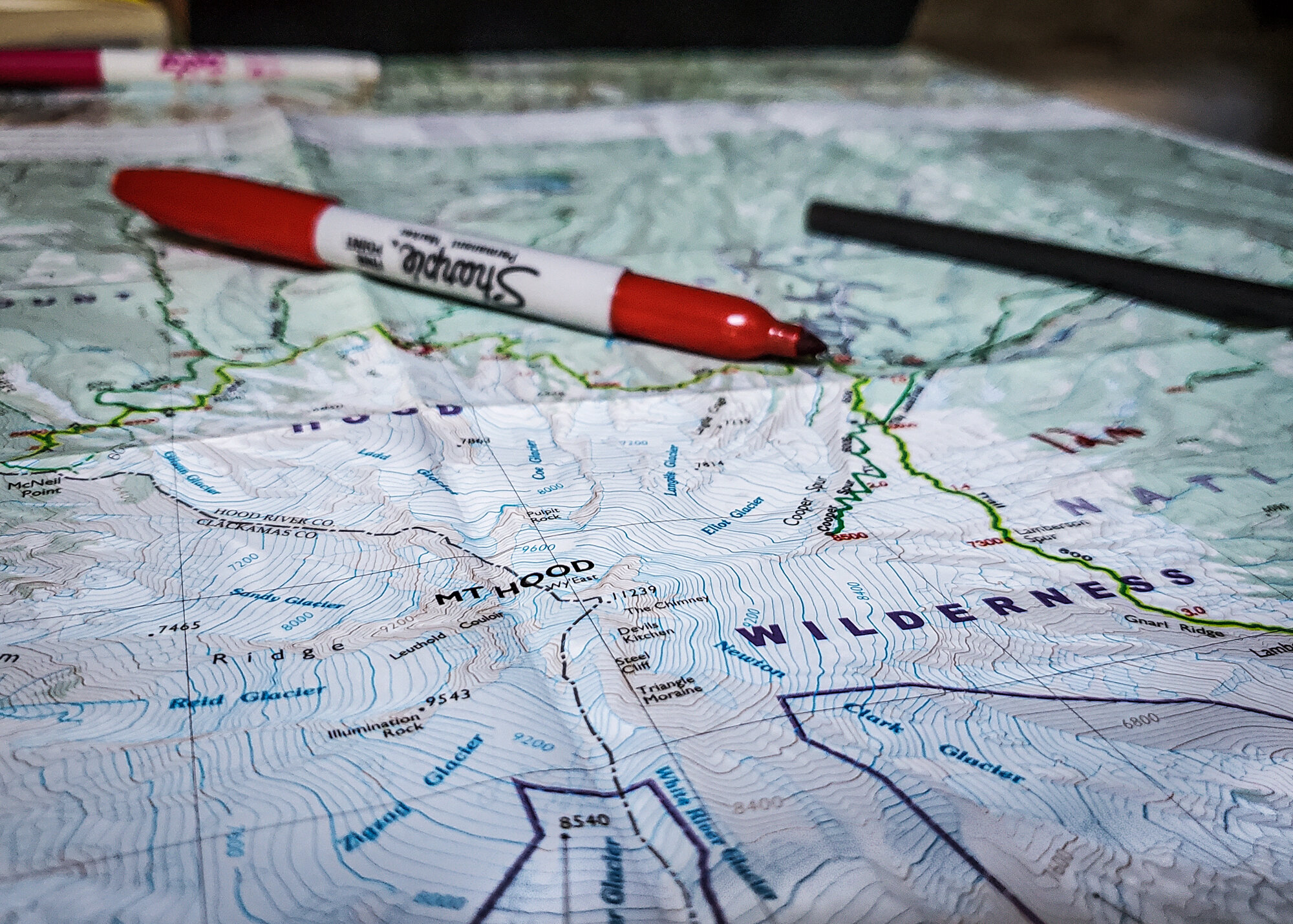
After having an incredible experience hiking the HST last summer, Mike and I decided to head back to the west coast, this time to Oregon, to do the Timberline Trail. This trail is about 40 miles long and circles of the timberline of Mt. Hood. It was shorter than the HST by 20 miles, and while not as physically exhausting, the Timberline Trail offered it own unique challenges, and amazing views…
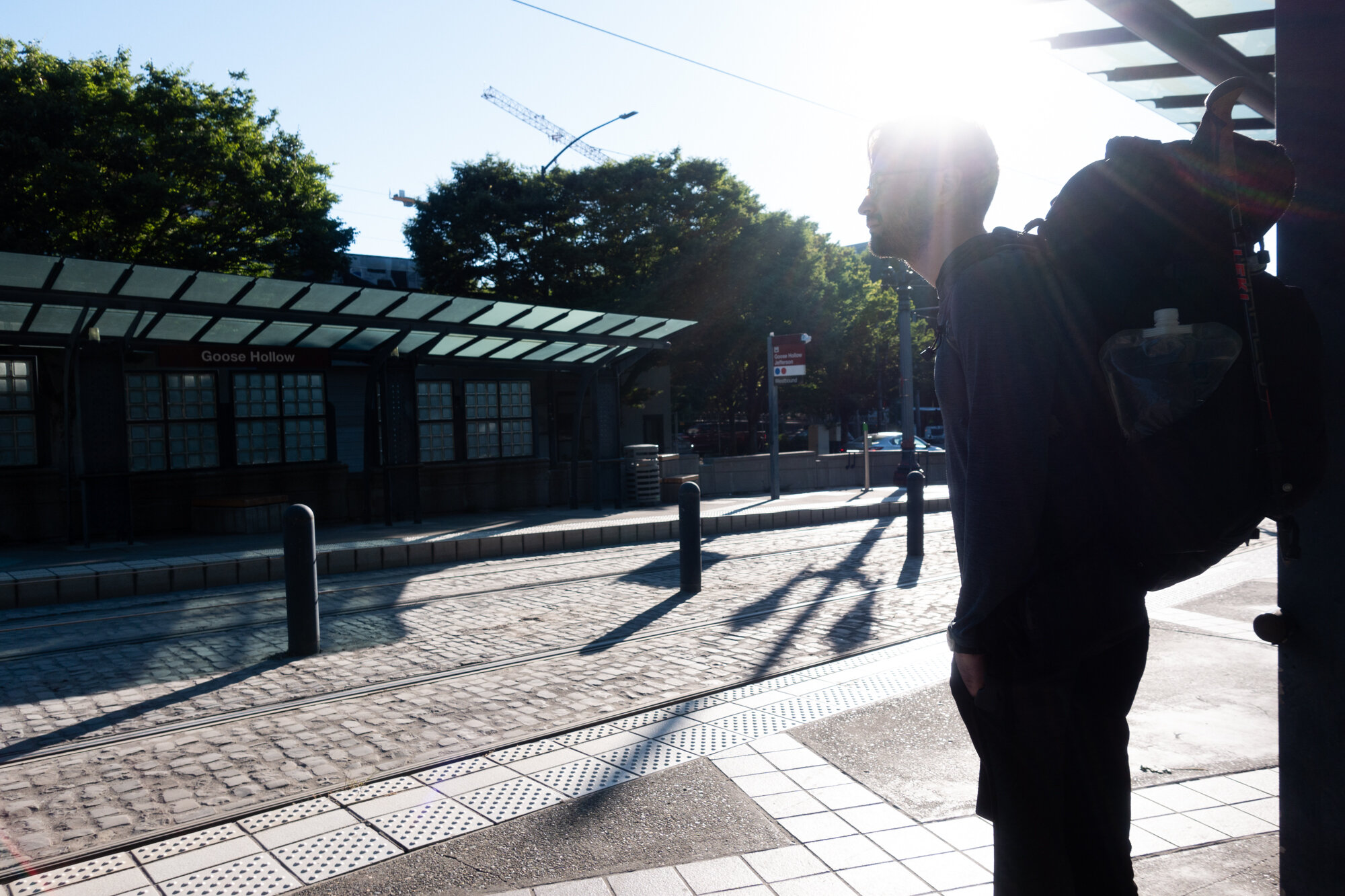
We took 2 buses and a train to the trailhead from Portland. The trip took 3 hours and cost about $2. It was one of the easier trailheads we had to get to, thanks for the Portland area public transit.
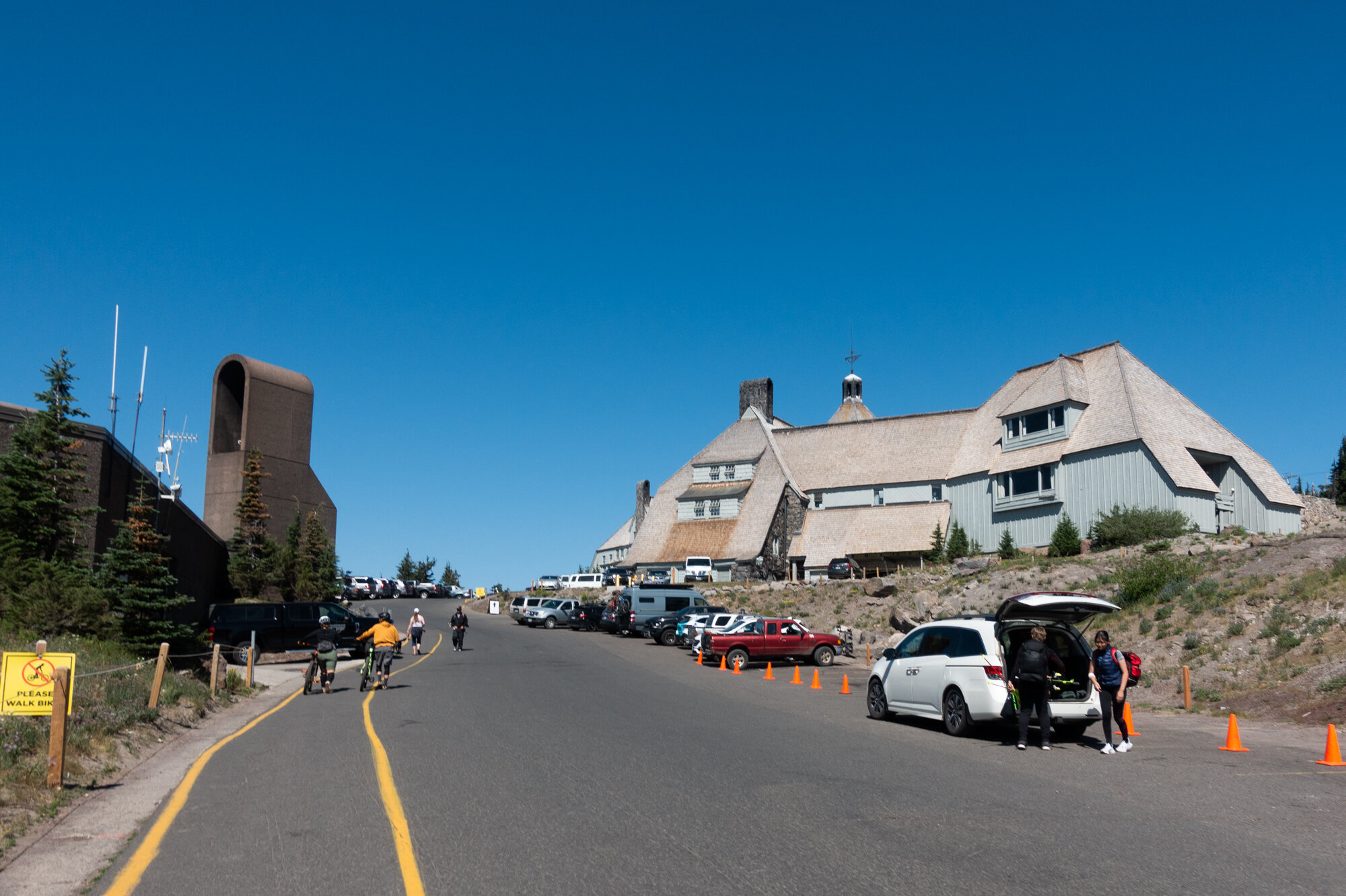
After the second bus ride, we arrive to the Timberline Lodge on Mt. Hood. Which apart from being a beautiful hotel and popular ski resort, is also famous being used as the exterior of the Overlook Hotel from the The Shinning. The trail is a loop, so in about 4 days from now we would be back at the Lodge. The whole time we knew we had a place to get some real food at the end. The area around the lodge was busy with skiers and mountain bikers. We didn’t notice any signs pointing to the Timberline Trail, and a few Lodge employees weren’t sure either, but eventually we found someone who could point us towards the trail.

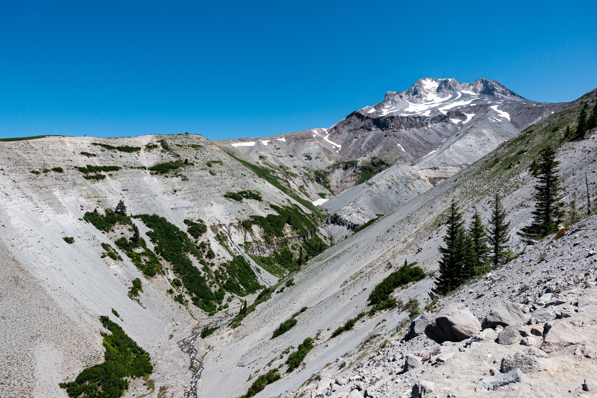
The trail started off easy, and the first day was due to only be about 9 miles. We were surprised by how sandy the trial was. My hiking shoes quickly filled with sand and dust, which would become an on-going theme of the Timberline Trail. Right from the start, the trail offered up spectacular Mt. Hood views.
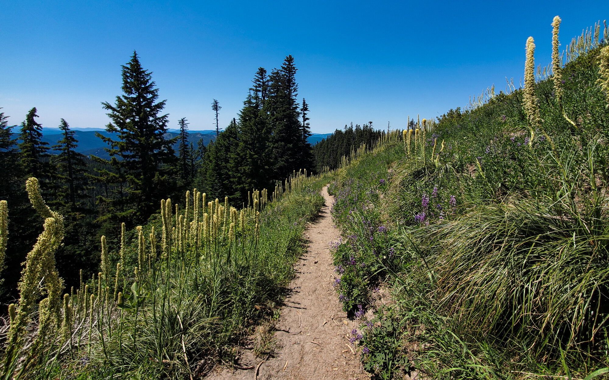
This view was typical of the plant life along the trail, but we would pass through many different biomes on the first day.
We didn’t know much about the trail before we started, which is the norm for most of our trips. We read some reviews from other hikers who hike the Timberline recently and one of them said “If you aren’t going up or down, you are probably on the wrong trail.”

The trail would snake through exposed meadows and ridges, before heading back down into the coniferous forest that surround Mt. Hood.
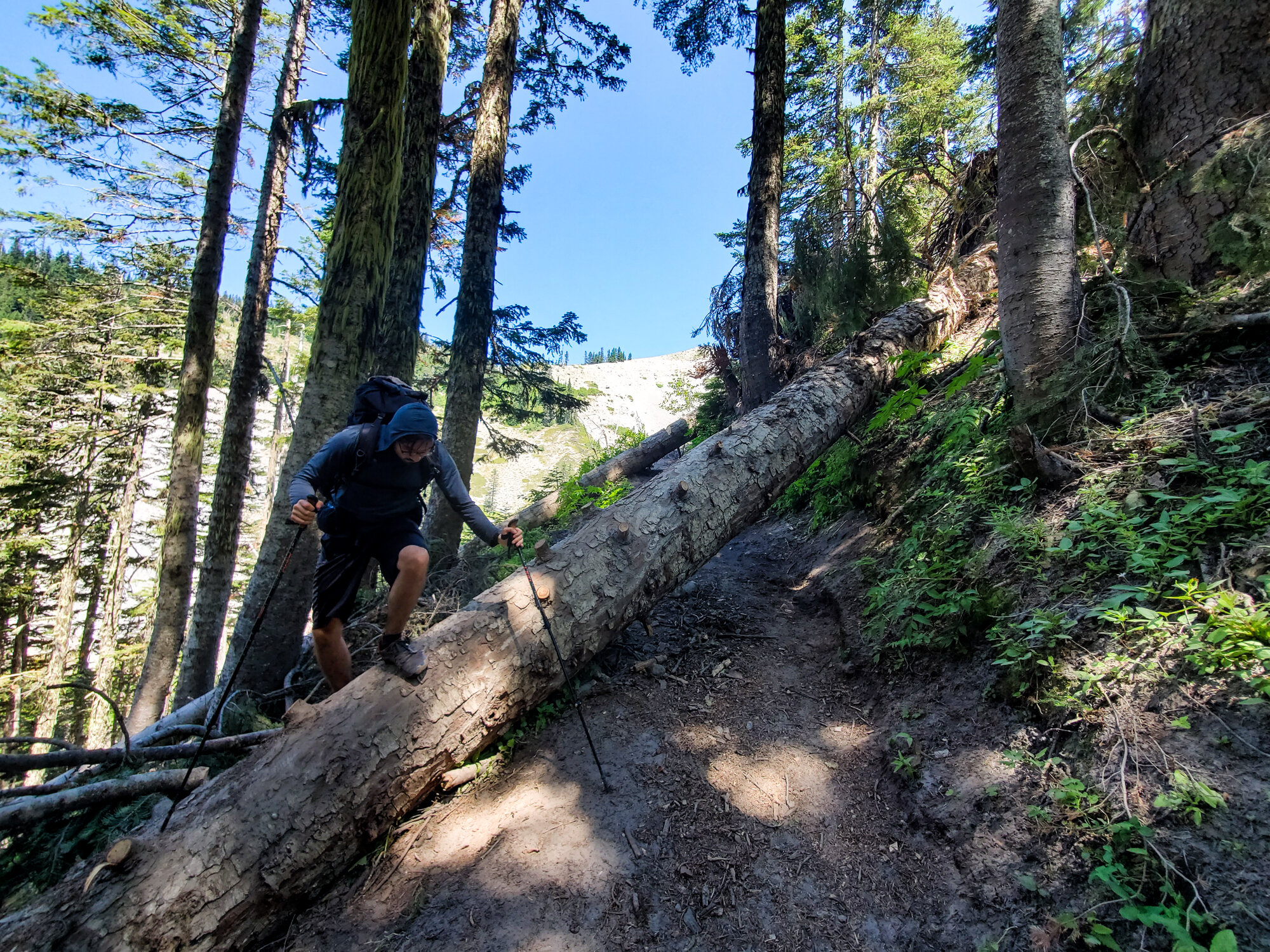
We read some warnings about the trail conditions before setting off. People mentioned the trail is in rough shape for the 2021 season. While not positive, I chalked the neglected trail conditions up to Covid-19 I figured trail maintenance was a low priority during a global pandemic. The trail was littered with down trees. In some parts, the trail was covered with fallen trees stacked on top of other fallen trees. This made the trail tricky to navigate at times. Parts of the trail were so bad (largely thanks to a bad storm the previous year) that sections were closed completed and required us to take detours along the Pacific Crest Trail.

The flowering plants around Mt. Hood were still in bloom when we were there in mid-July.

Found this little guy enjoying his lunch near a mountain stream.

We arrived in the PNW shortly after the end of the record heat wave. Thankfully, the weather returned to normal by the time our hike started. Each day was in the low 80’s, and the nights were a comfortably cool 45-55 degrees.

Our first rest of the day. We had a few more hours to go, but so far things were going smooth.

The Timberline Trail has no trail markings. I don’t mean they were uncommon, or hard to spot. I mean literally it’s entirely unmarked. No blazes and no trail markers. Most, but not all, trail junctions have signs, but there were several moments that we had to rely on the map whenever we arrived at an unmarked junction.

We heard that the Timberline Trail was busy, and that if we were looking for solitude to look elsewhere, but we found the Timberline to quiet once we left the area around the lodge. We only spotted a handful of hikers each day. Maybe this was thanks to the trail conditions, maybe it was because of the pandemic, or maybe it was both.
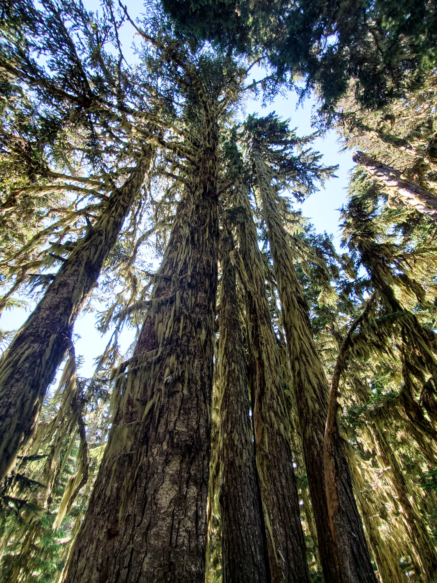
While some places had none, large areas of forest around Mt. Hood were coated in a thick layer of some type of Spanish Moss. It gave the forest a mildly spooky feeling.

Pictures can’t really do the scale of these views any justice. Only the waterfall, which appears near the center of the frame, gives a sense of perspective.

Once again we headed back inside the forest.
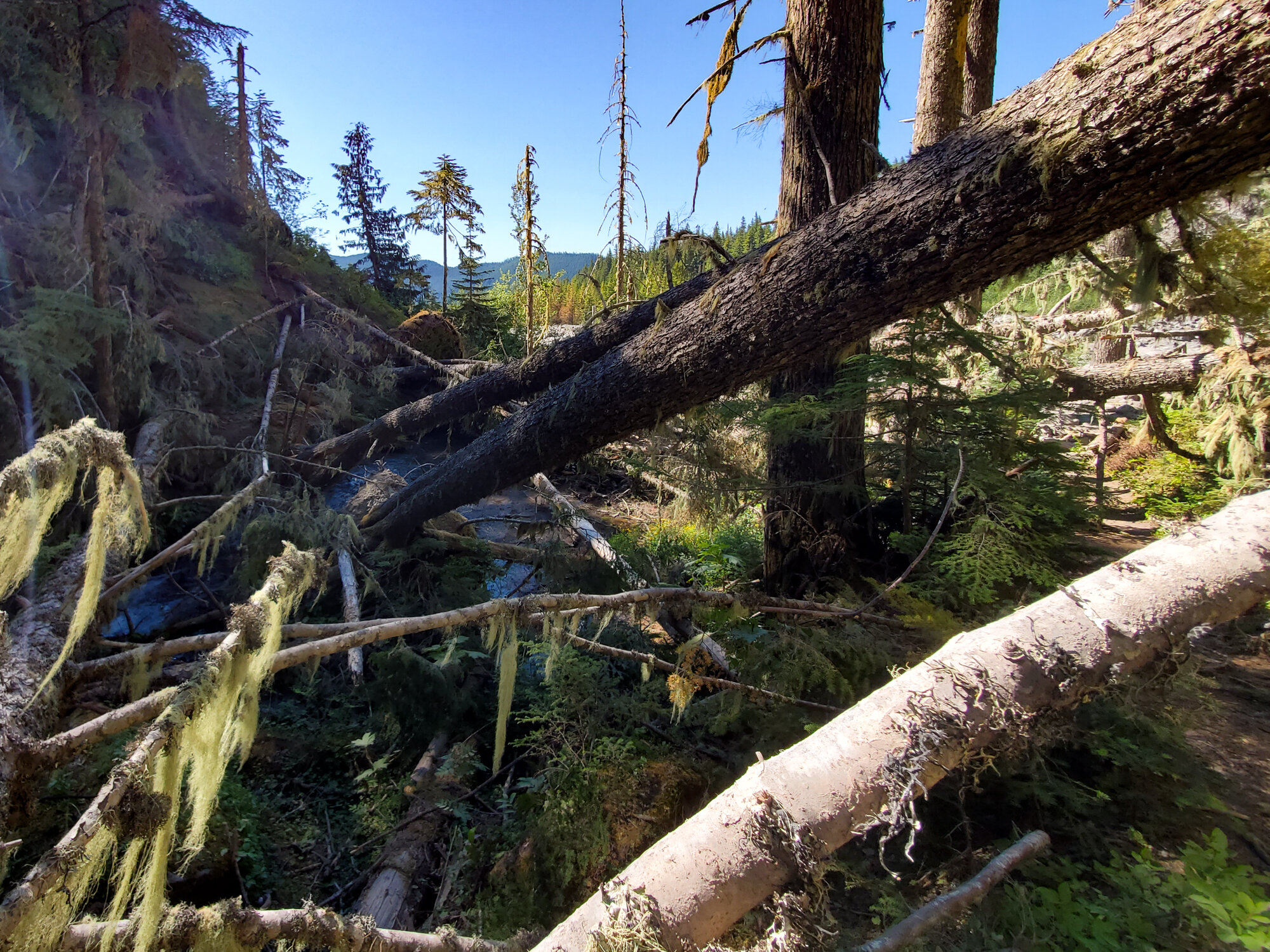
This part of the trail, just before Sandy Creek, had multiple layers of down trees. A small work crew was working on clearing them while we tried to cross this natural obstacle course. Looked like they had their work cut out for them.
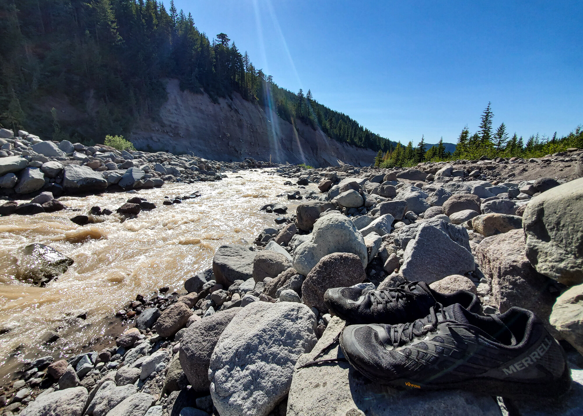
This trail had a challenge we really hadn’t faced before, river fording. There aren’t any bridges along the trail to cross the many glacier rivers flowing down from Mt. Hood’s icy peak. Instead, you happen upon a river and try to guess which spot might be the safest to wade through. This first crossing at Sandy Creek was tricky. I decided on a spot (by taking a guess), and headed in. It was hard to stay on my feet in the fast moving, upper-thigh deep and ice cold water, but I made it without falling in. Afterwards I took off my shoes to let them dry in the sun.
We heard that a few weeks earlier the water level was so high at this point hikers had to turn back.

Its always a good feeling to make that first camp after the first long day of hiking. We found the perfect spot right after we starting hiking again passed the river.

We didn’t stay up long that first night. We heading for our tents just after hiker’s midnight (about 9pm). The next day would be a few miles longer, and it seemed like it would be more climbing as well.

This was the first time we did a hike just around one mountain and it was easy to forget that Mt. Hood was almost always looming on the horizon. Each day we would get to see a different angle of the mountain.

Thankfully not all the crossing were as deep and fast as Sandy. This one was much easier, although, just as cold. Right after this crossing we hit another unmarked trail junction, this time with trails not even marked on our map. We spent about 10 minutes heading in the wrong direction on a trail that just…stopped. Eventually we headed back and found our way.

A storm in 2020 “obliterated” large sections of the Timberline Trail. We had to follow the detour to get around these impassible parts.
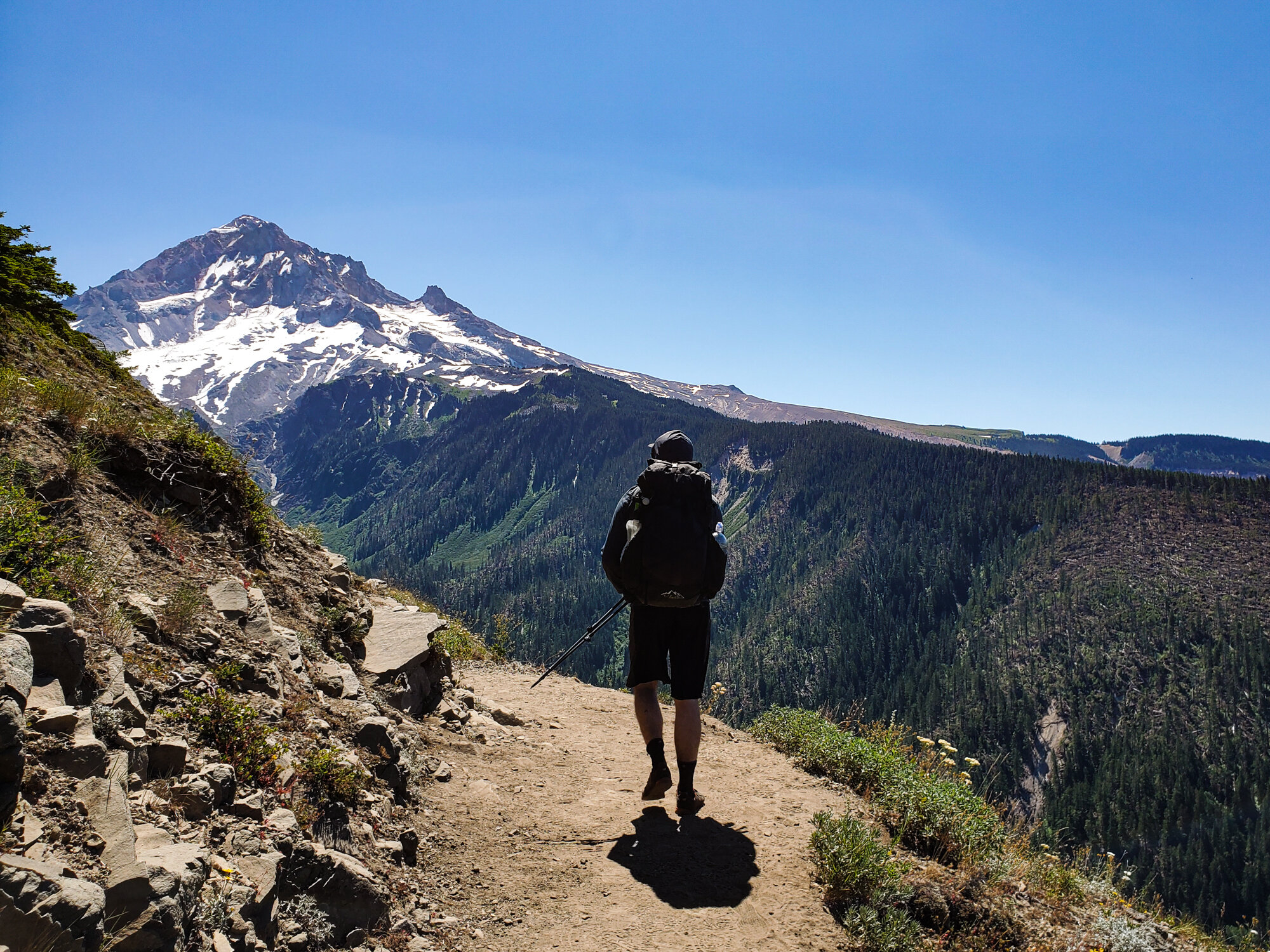
This part of the trial was one of my favorites. You can actually see the “blow-down zone” we had to detour around. It’s on the ridge to the right.

Eventually the detours ended and we were back on the Timberline Trail.

This day was definitely tougher than the previous. It was full of those Ups and Downs we were told about. By the afternoon my legs were feeling the miles, and we still had many more to go.

On the second day we hit several areas that had been hit hard by forest fires. I’m not sure when the fires in these sections hit, but it looked to be from at least a few years prior.

I’ve always been fascinated by the atmosphere of hiking through a forest that was destroyed by fire. It feels other-worldly to me.

Once we were on the northern side of Mt. Hood, we starting hitting small patches of ice and snow.
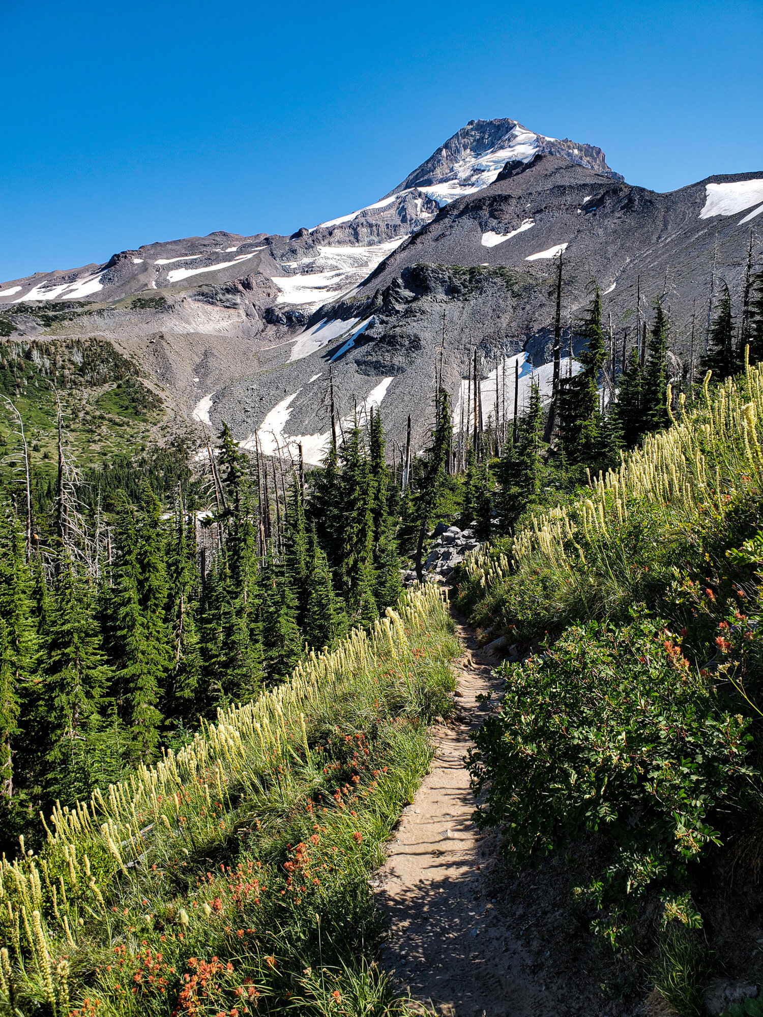
Only a few campsites were marked on our map. Many more existed, but you just had to find them. We decided to stick with the ones on the map so we could more easily plan our days and miles. We were finally nearing the end of the second day.
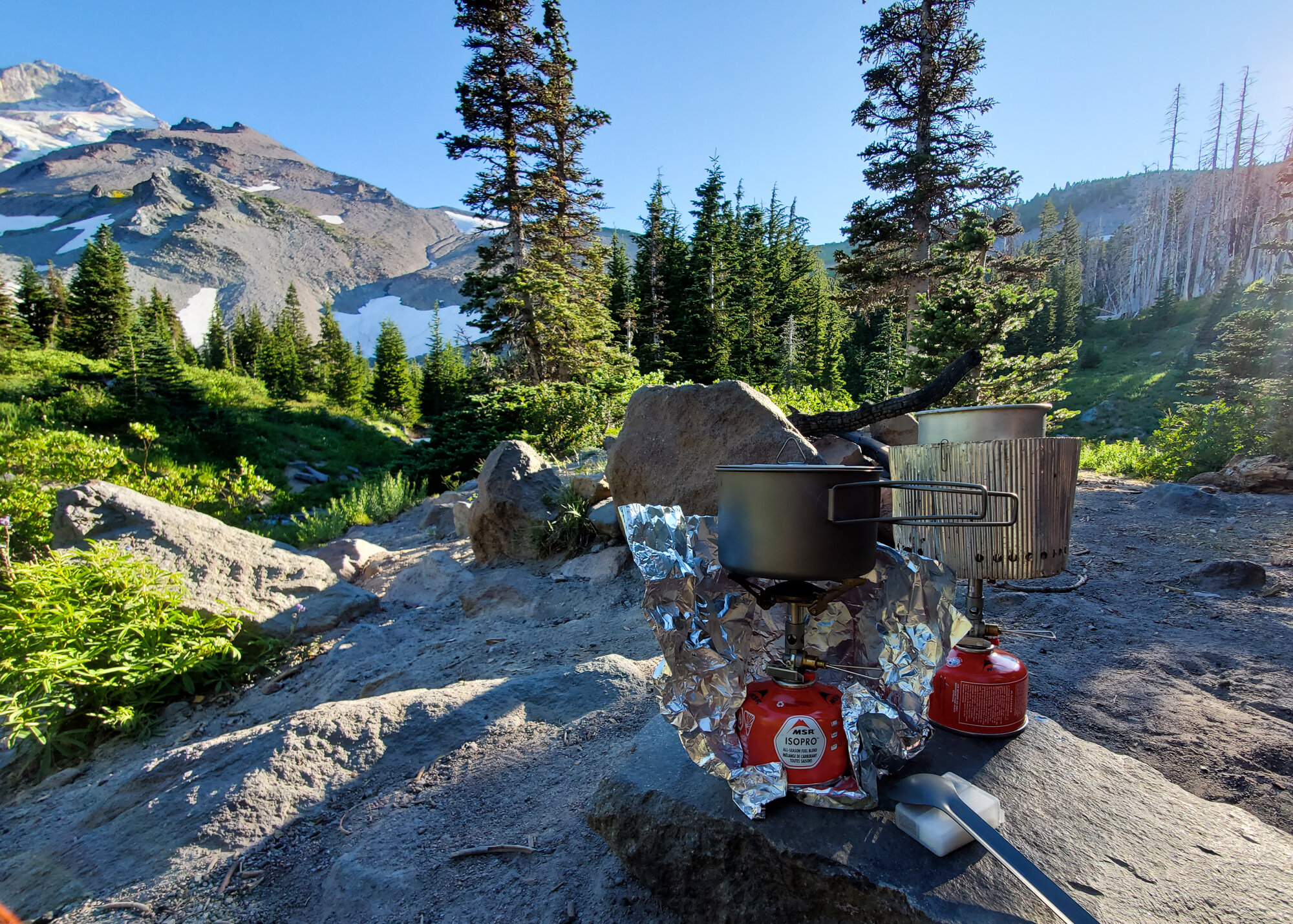
Our first night’s camp was cozy and secluded, but the second night’s offered a wonderful view of Mt. Hood. Having an exposed view came with a drawback…wind. This night was the coldest we faced, with temps dropping to the 40’s.

We arrived at camp earlier than we usually do, at about 4pm. We had a few hours to watch the mountain before the sun went down.
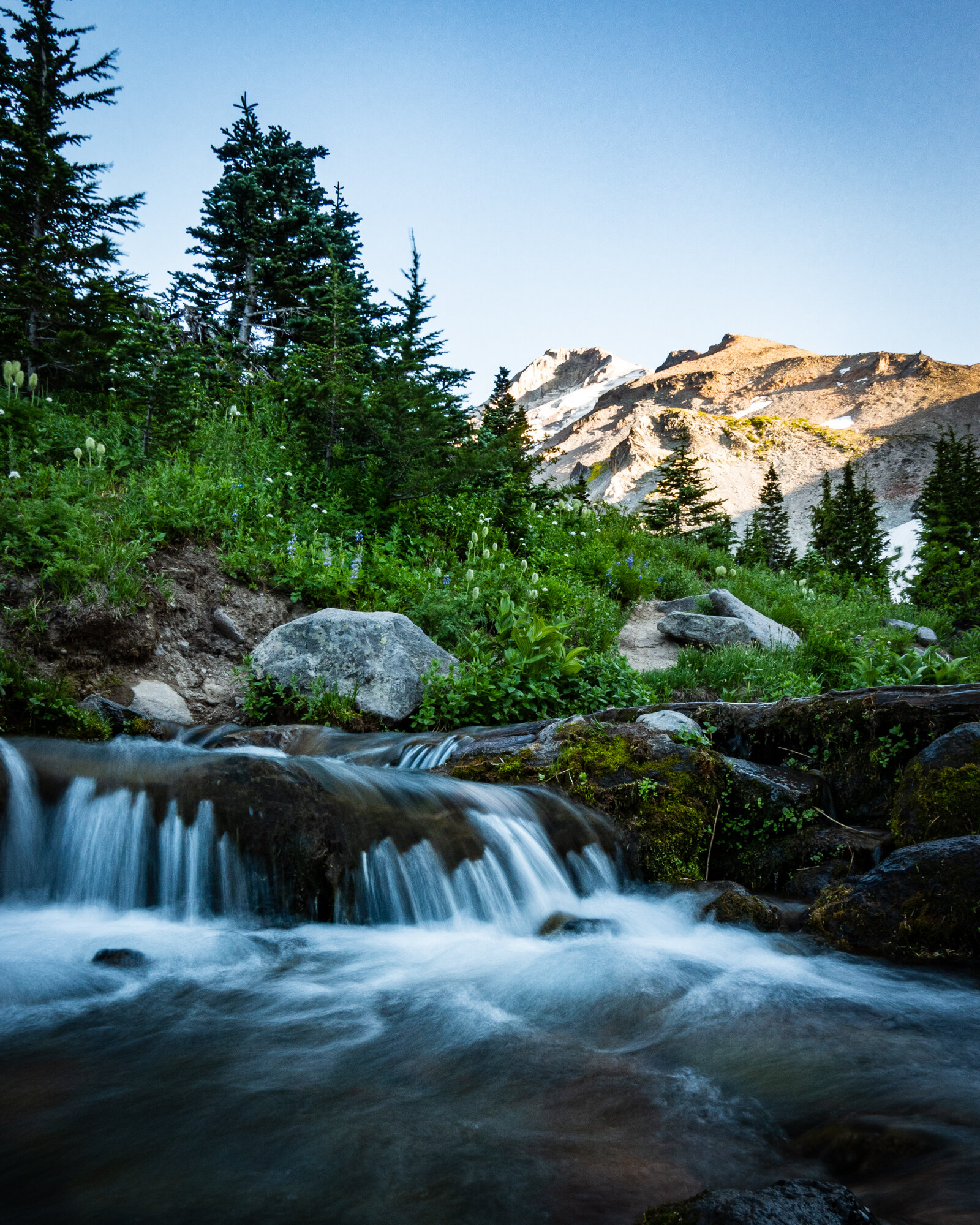
Right next to our campsite was this stream. The water around Mt. Hood was all snow melt, so it tasted great and was ice cold.

The sun was to our backs on this side of Mt. Hood, so were were treated to this spectacular Mt. Hood sunset.
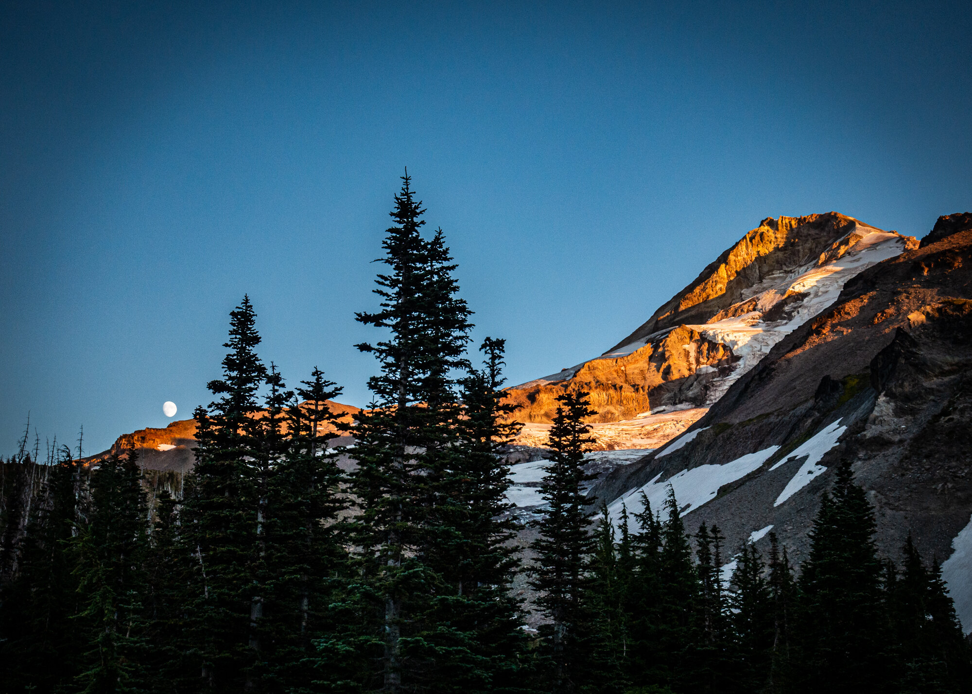
The moon started to rise just to the left of the peak. We ended up watching until the moon set behind the mountain hours later.

This camp ended up being another one of my favorite moments on the Timberline.
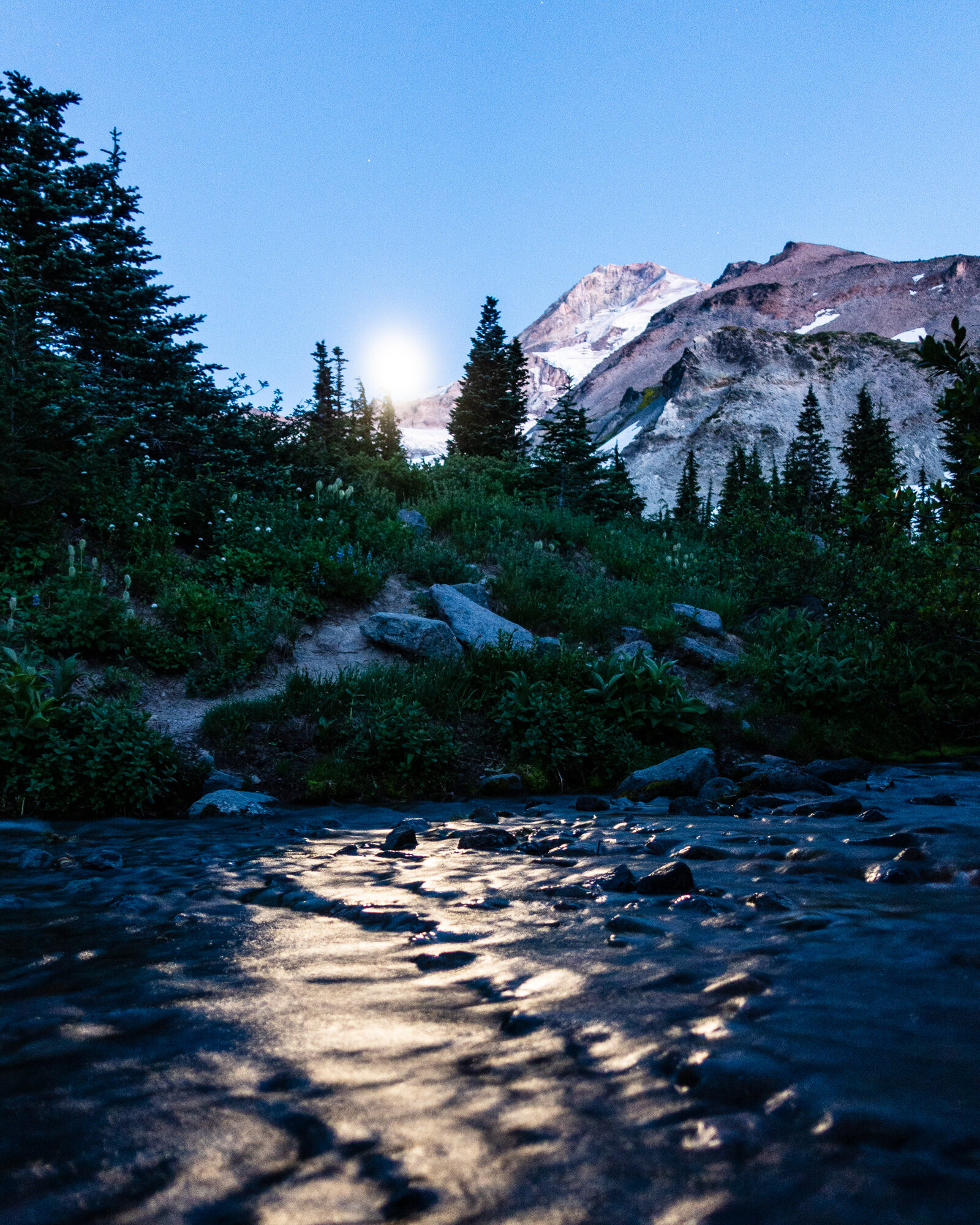
As the light from the sun faded away behind us, the glow from the moon took center stage. It was nearly full while we were hiking the trail, and its bright light illuminated the forest and stream as we watched it move across the sky.
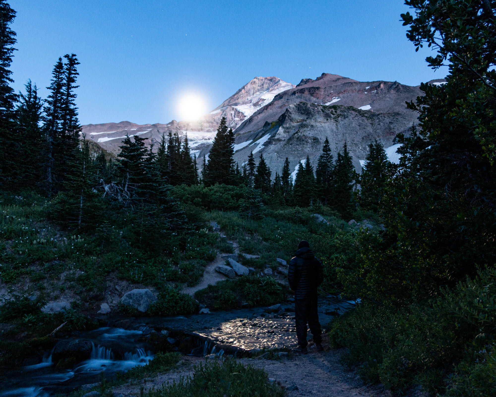
It stayed cold all night, but once the sun light died down, so did the strong wind.
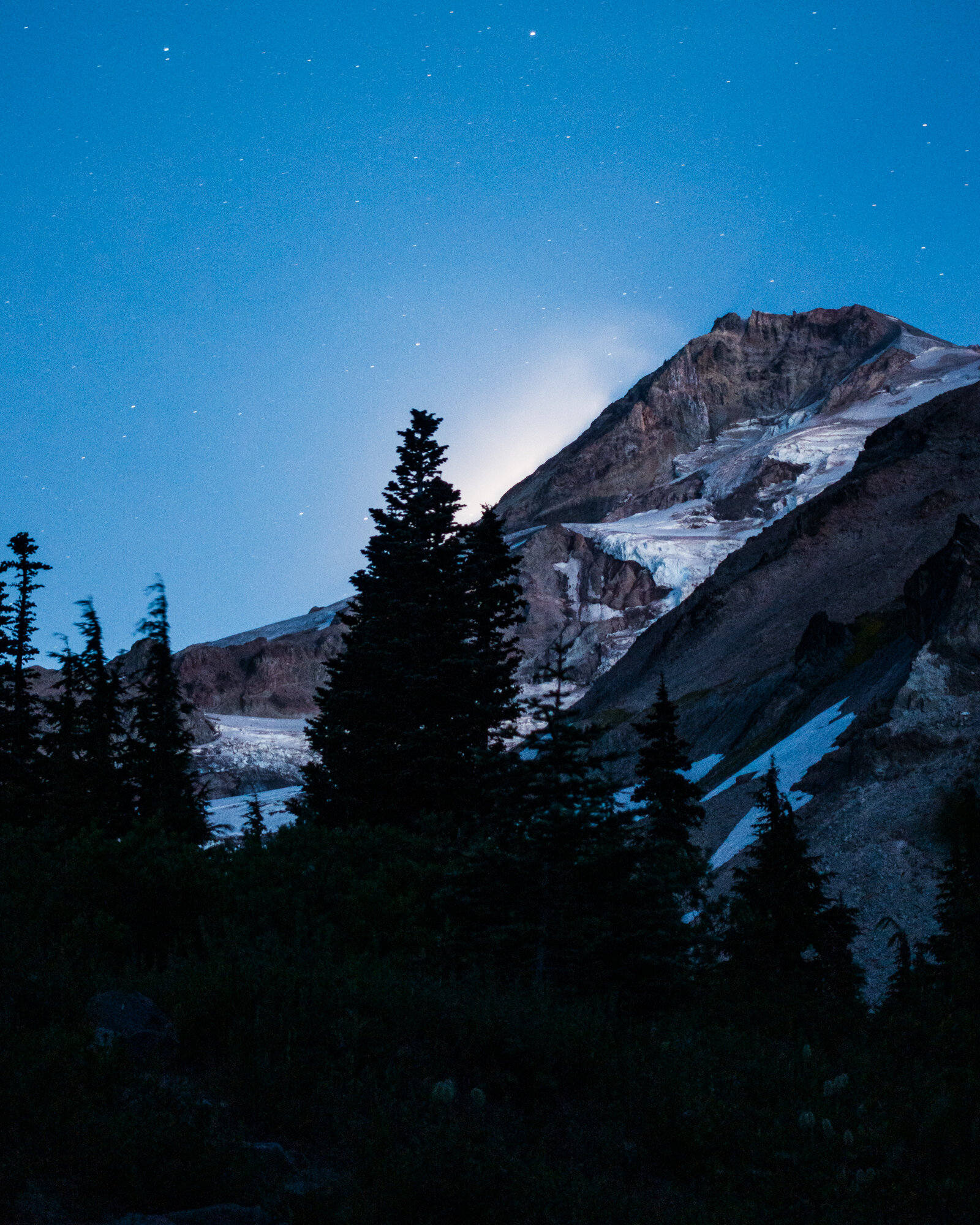
After a few hours, the moon went clear across the sky and set behind the peak of Mt. Hood. I’m not sure if I had ever watched a ‘moonset’ before.
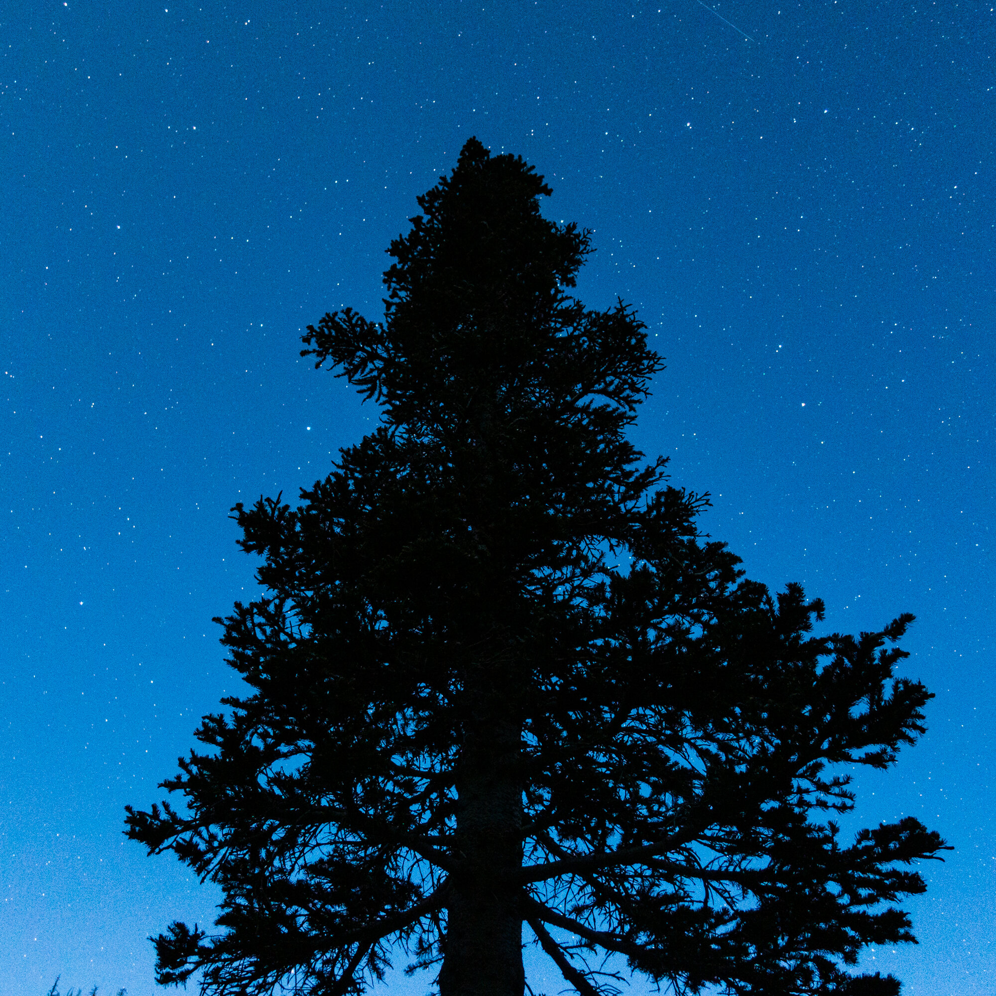
The stars came out in all their glory once the moonlight fell behind the peak.
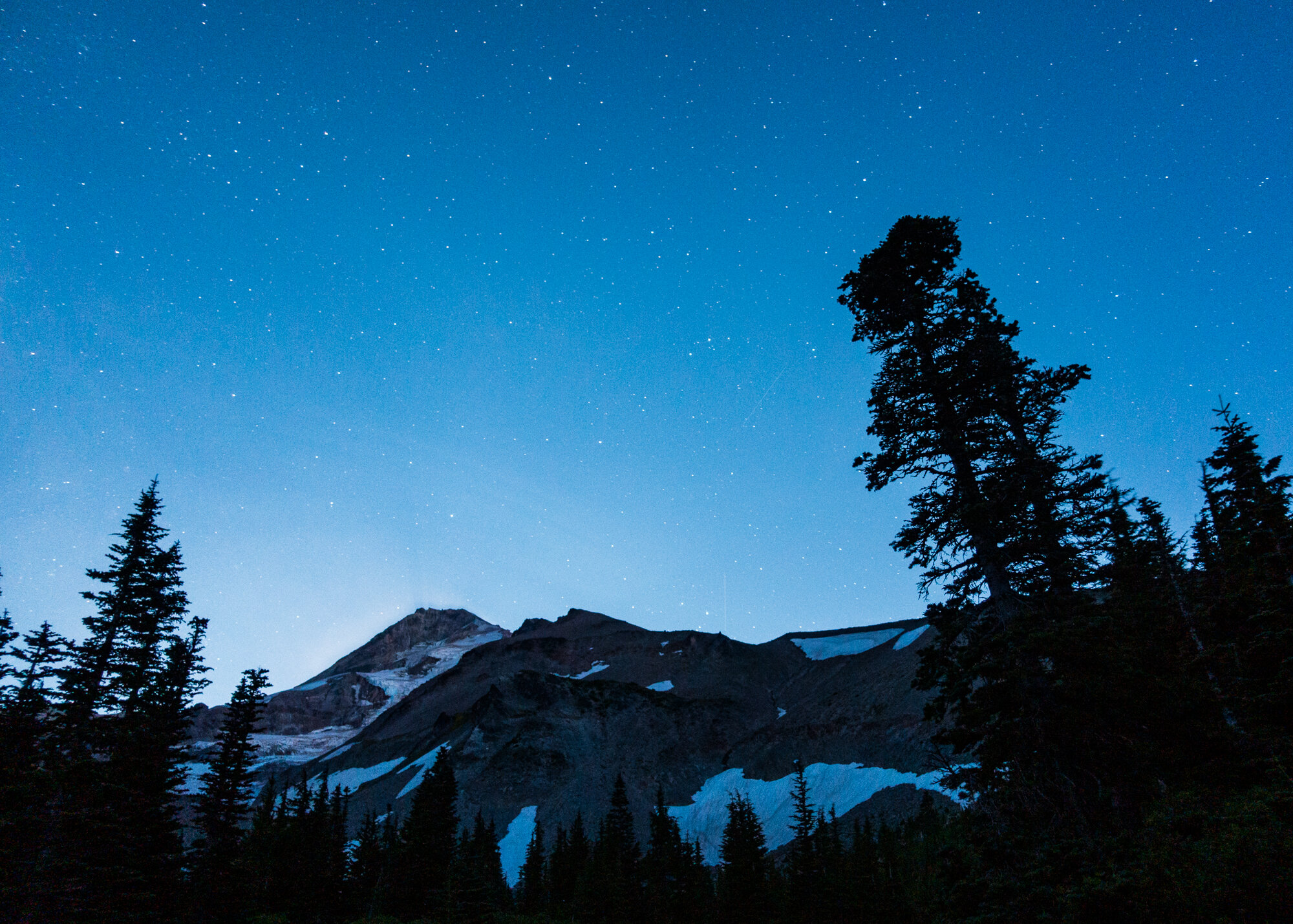
Nights like these remind me why I go on backpacking trips.
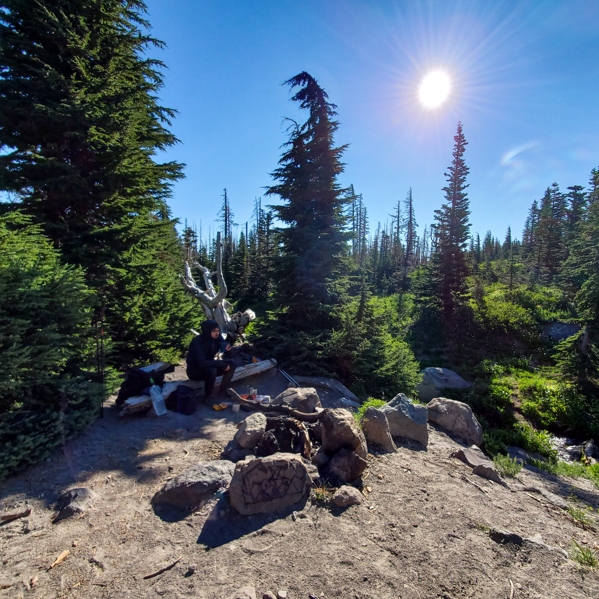
The wind came right back up with the sunrise as we broke down our camp. This would be the start of the longest day.
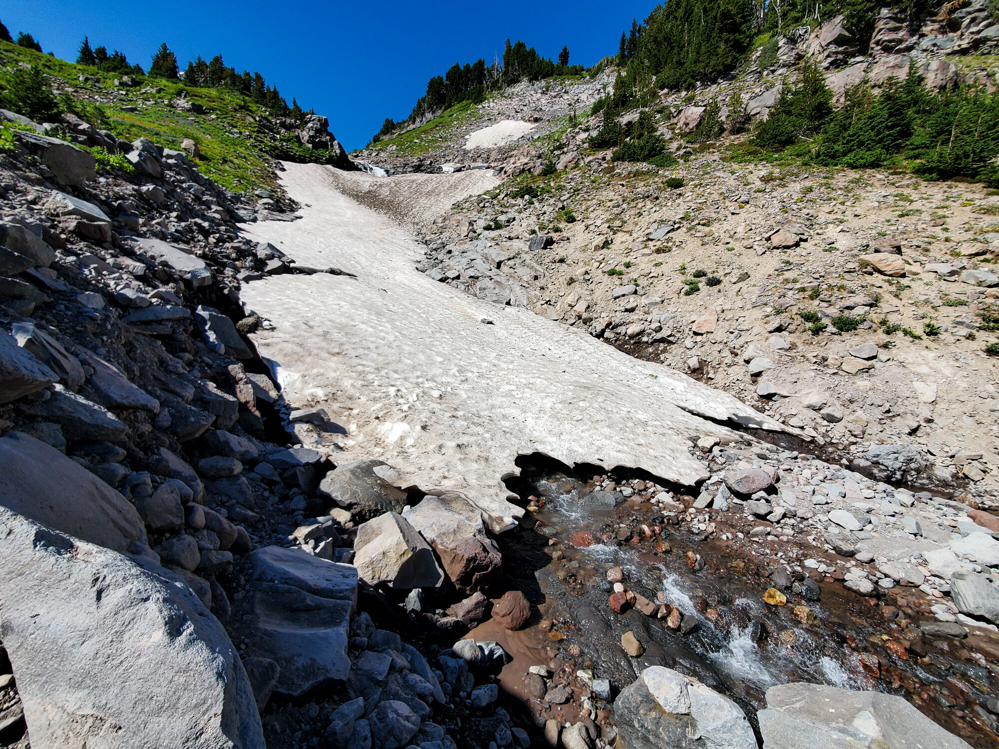
The easiest points to lose the trail are at riving crossings. There aren’t definitive points to cross the river, each hiker choses their own way. So sometimes you can end up on the other side not sure which way to continue. This happened to us a few times.
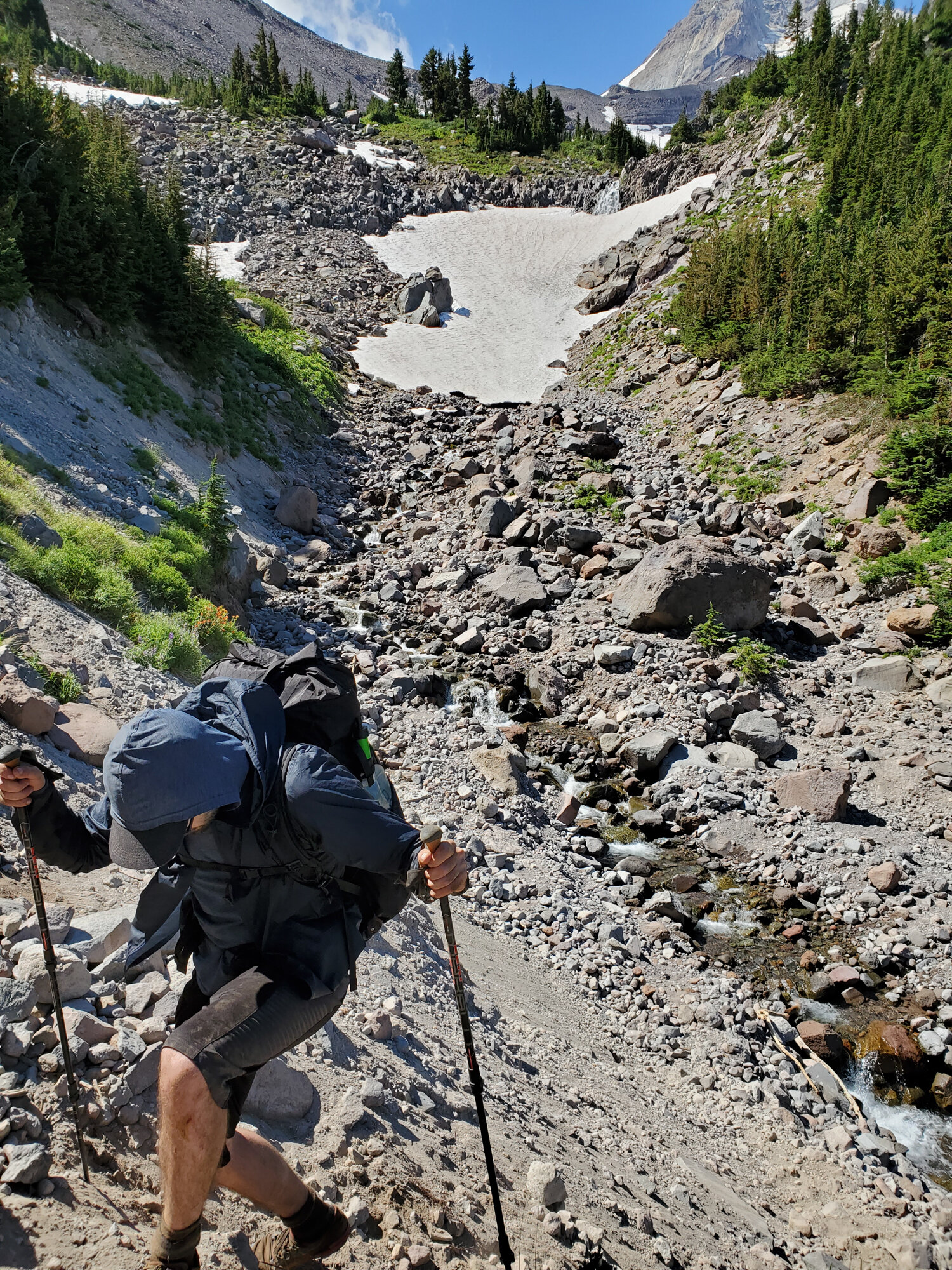
At this crossing it took us a little while to find the trail. We ended up going up a dead-end again.

We were told to watch out for the Elliot Branch crossing. And now we found out why. The trail had been completely washed away at this section, and the only way down was navigating the loose sandy slopes along the river (seen on the right side of this photo). It was steep, and a long way down to the boulders and rushing water below. With each step I took, some of the earth would give way under me. At one point I had a real close call when a rock that was sticking out from the gravel slope shifted downwards when I had to put my full weight on it to keep going to the next foothold. Thankfully it didn’t give way entirely, but I nearly lost my balance. I was glad to finally make it to the river below.
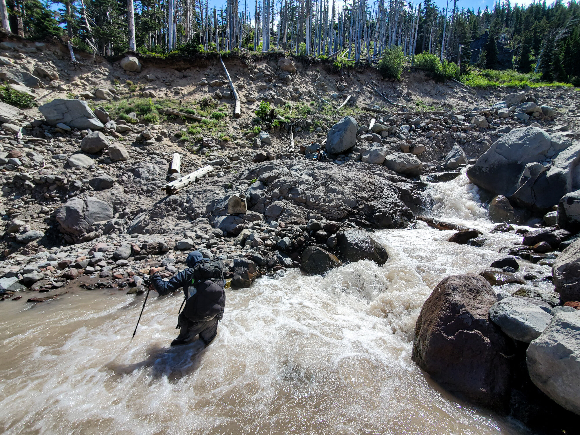
After getting down, it was time to go across.
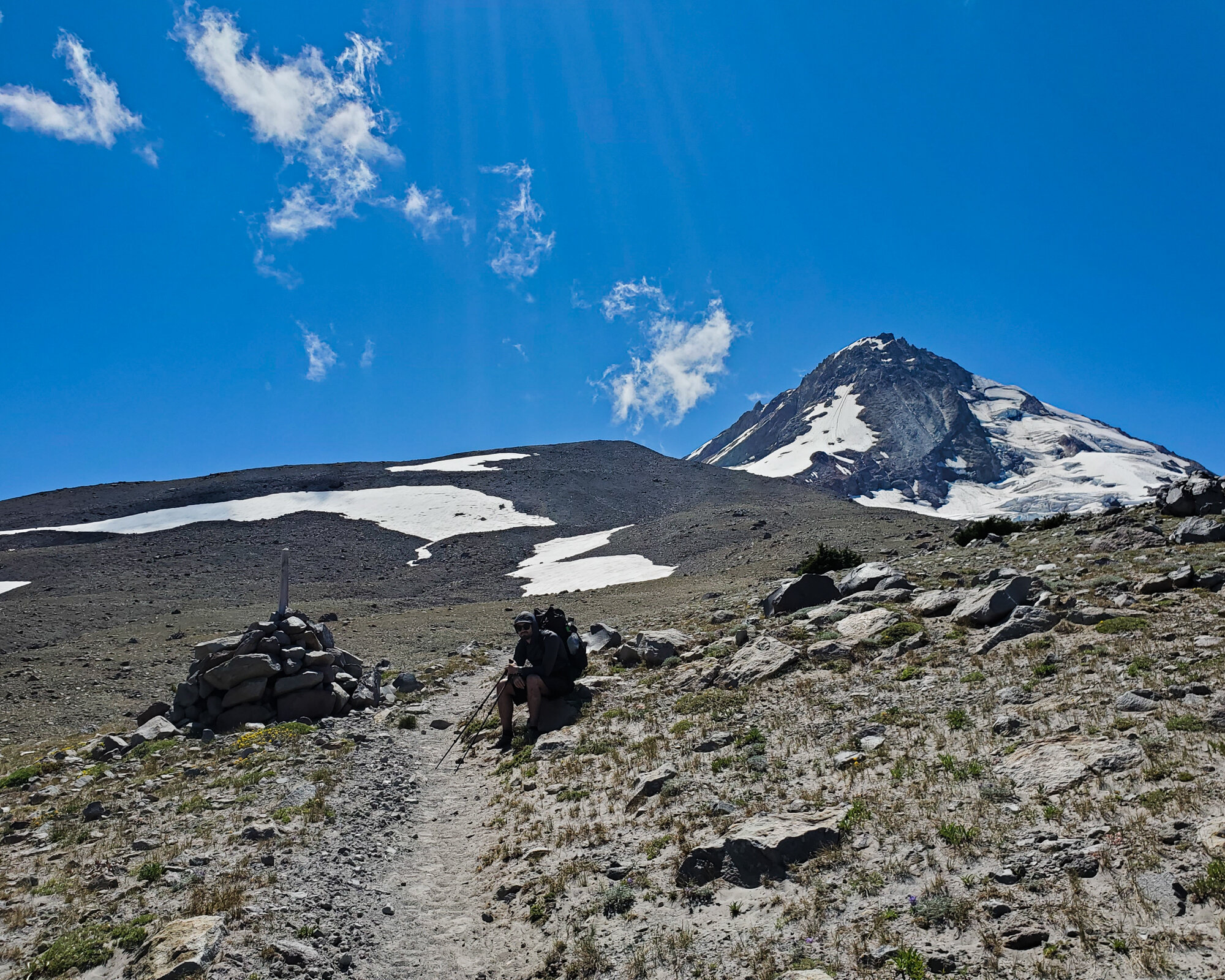
The eastern part of the Timberline Trail went up as high as 7000’. This section was high above tree line and was another highlight of the trail.

Another new experience the Timberline offered up was hiking across ice fields. Some were massive, and we had to be extra careful making our way across. It was a long way down if you started to slide. Mike is actually in the this shot, standing next to the ice.

Mike headed across the ice first. His old hiking shoes don’t have much, if any, tread left. His had to rely mostly on his trekking poles while making his way across.

I loved being in this unusual landscape.

The whole time I was thinking about how I would go about stopping myself from sliding all the way down if I slipped.
The good news is that I still don’t know.
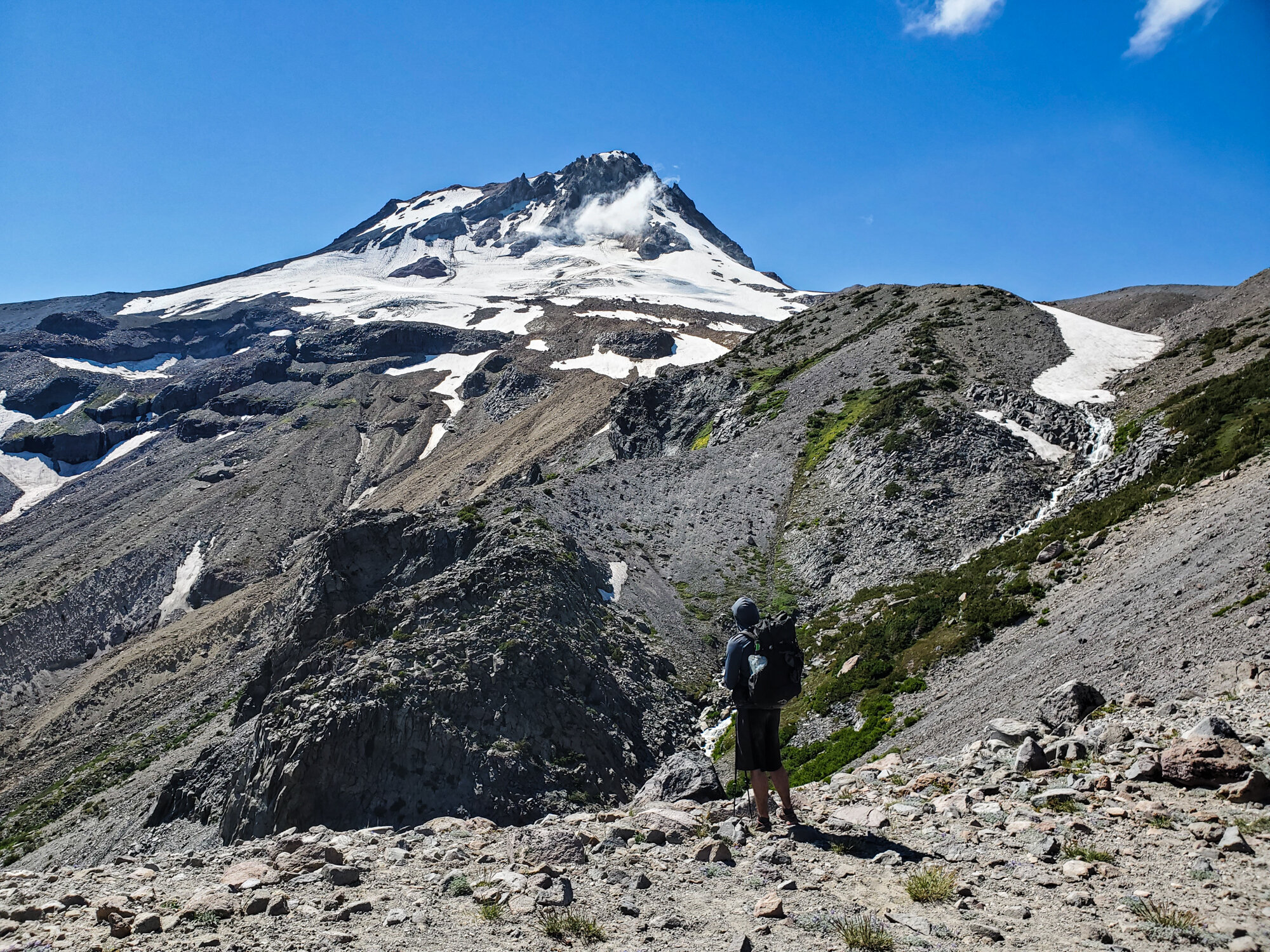
Around this time we reach the highest point along the Timberline Trail. We had one more day’s worth of hiking left, and it would be mostly downhill.

While setting up the final night’s camp, I broke two tent stakes. I’ve been using the same ones since I started backpacking, but this tough rocky ground was too much for them.
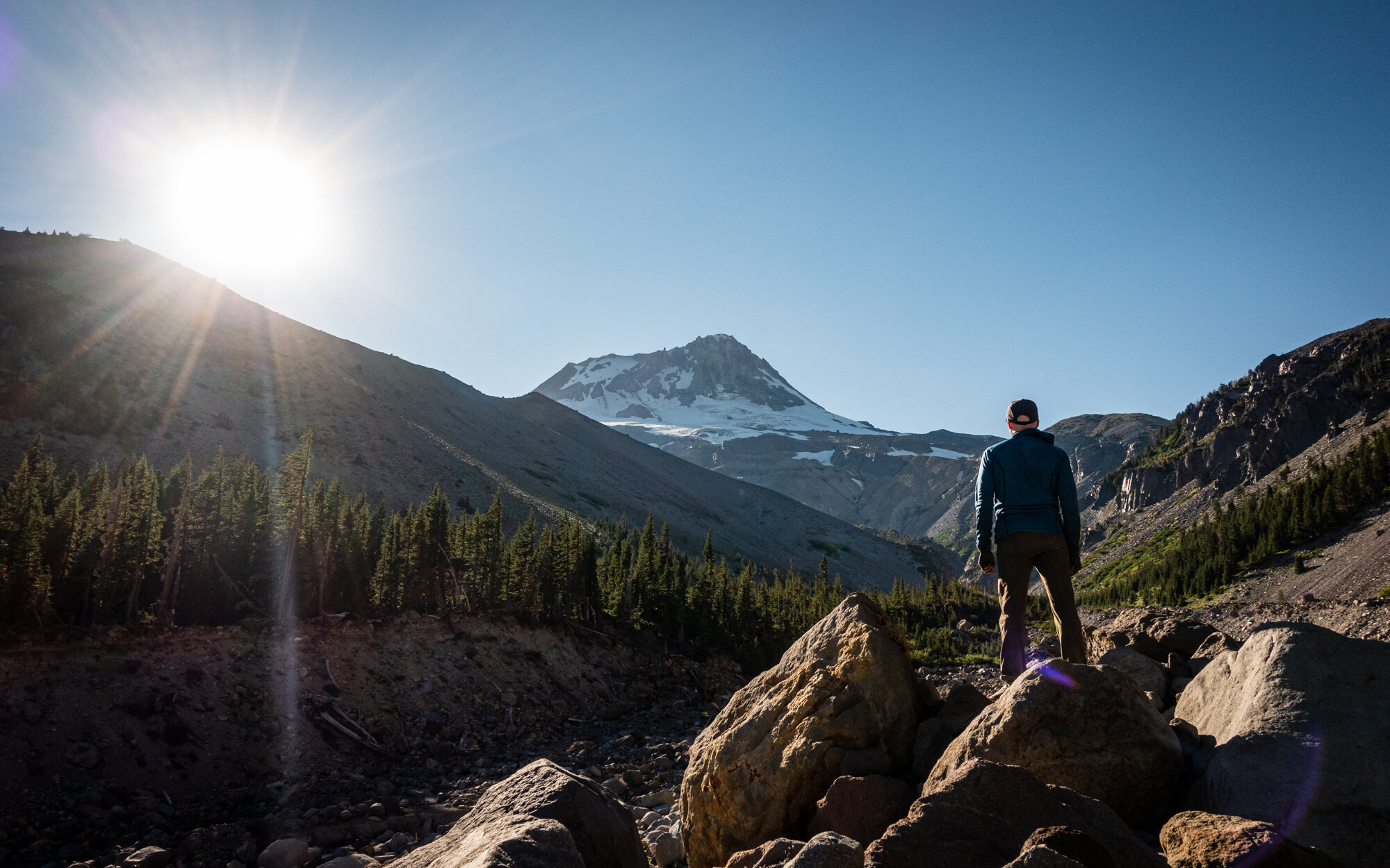
My last night on the trail.

Our last camp was at Newton Creek. This seemed like it would usually be a popular spot based on the number of campsites we found, but that night it was only us and one other group there.
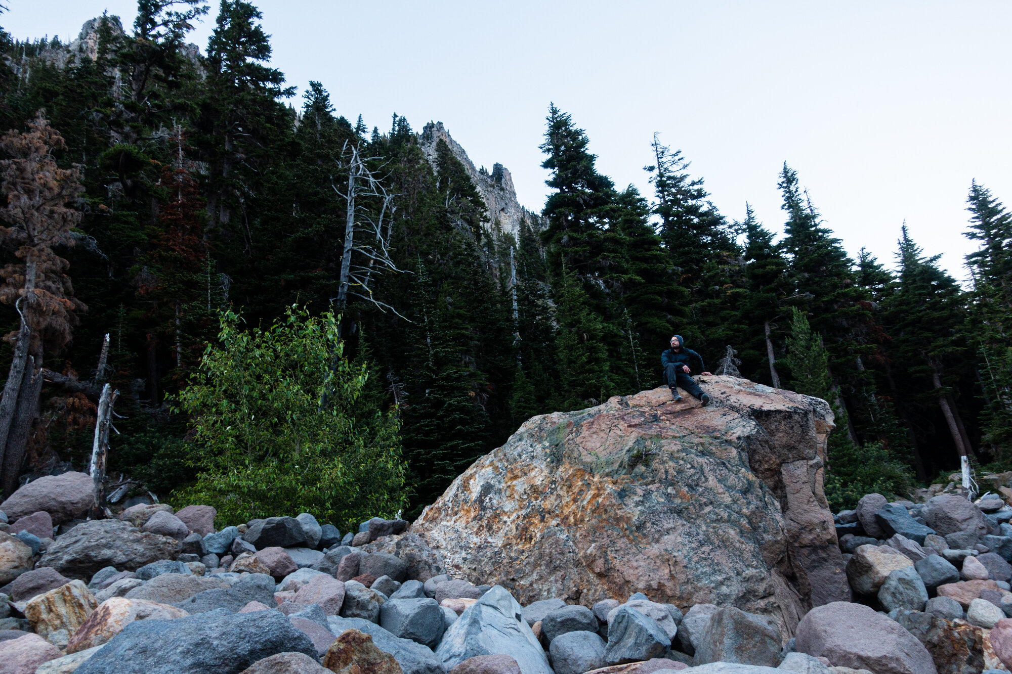
Mike passed the time by climbing some of the large rocks along the river.

Now that we were on the other side of the mountain, we got to see the moonrise opposite of Mt. Hood.

Usually I hope for moonless nights while backpacking since I always look forward to seeing the stars and Milk Way, but a bright moonlit night does have its own beauty to it.

The sun was fully set by the time I took this picture. The light on the mountain is coming entirely from the moon.
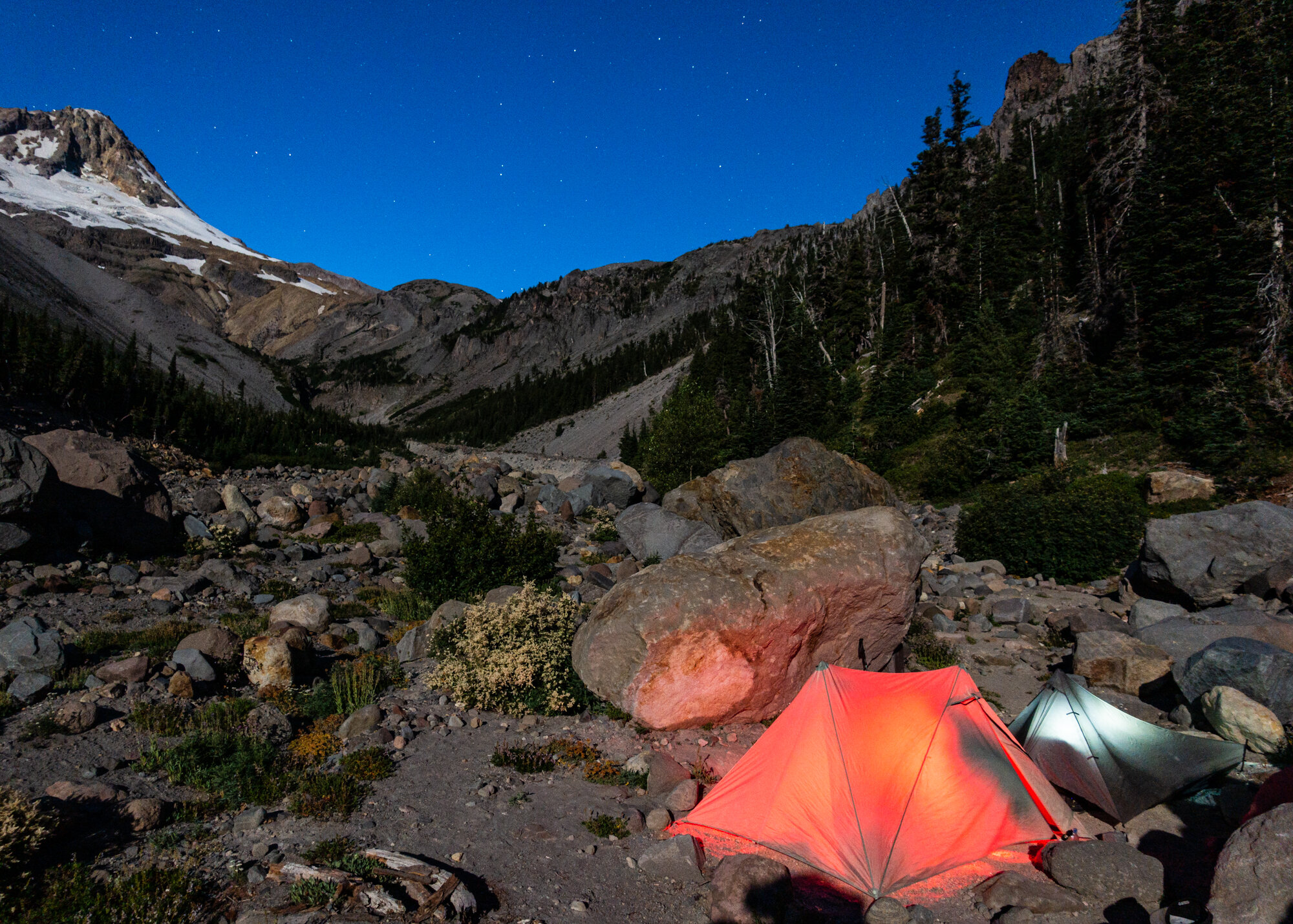
I watched the moon light move across the valley.

I didn’t sleep great that night, but the views I had of Mt. Hood that night were some of my favorites. It was a fantastic last night on the trail.
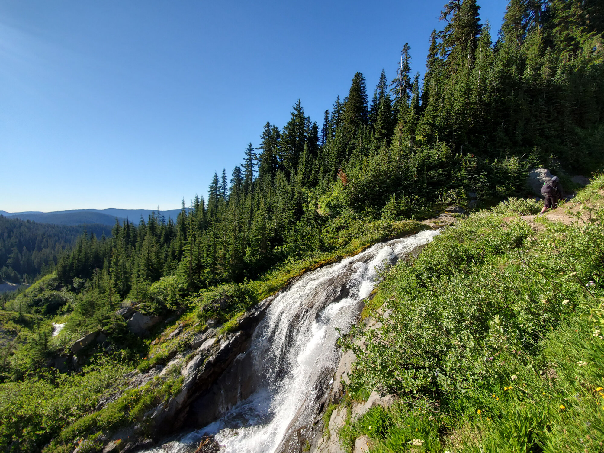
Even though were only had a few easy miles left to hike before making it back to the Lodge, the Timberline trail still had some surprises for us.
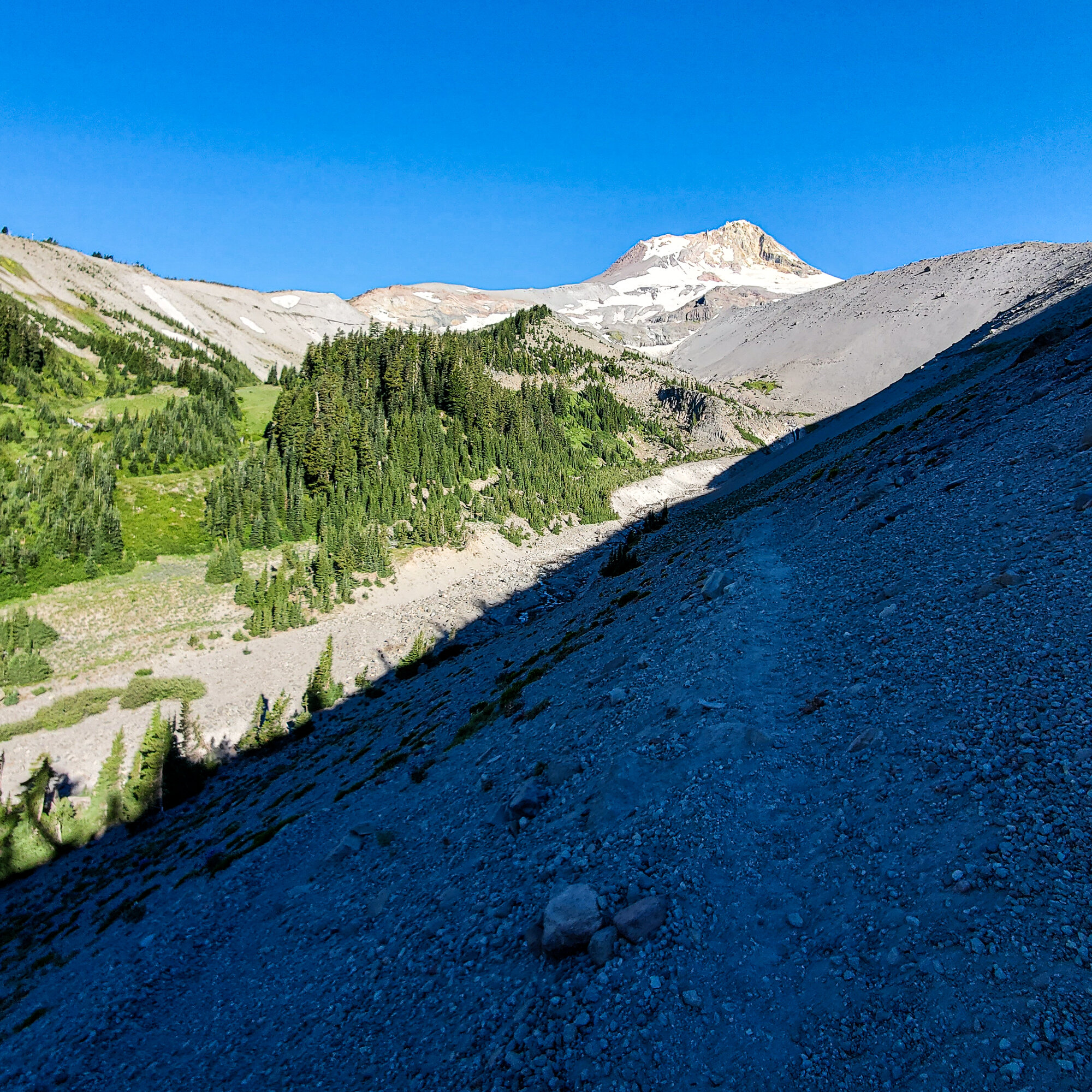
Since we had to hike out back to the Timberline Lodge, and catch the bus home, we started the day extra early.

The last mile or two of the Timberline Trail was surprisingly exhausting. It was a gentile uphill climb on loose sand. It felt like it was sucking out all my energy.

We caught our last glimpse of Mt. Hood along the Timberline Trail. The Timberline Lodge was in sight.

We finally made it to the finish line, and this time there was actually a place to eat at the end. It was a great four days on the Timberline Trail. The trail conditions might have been rough, and some parts a little tricky, but it was well worth it.


After having an incredible experience hiking the HST last summer, Mike and I decided to head back to the west coast, this time to Oregon, to do the Timberline Trail. This trail is about 40 miles long and circles of the timberline of Mt. Hood. It was shorter than the HST by 20 miles, and while not as physically exhausting, the Timberline Trail offered it own unique challenges, and amazing views…
We took 2 buses and a train to the trailhead from Portland. The trip took 3 hours and cost about $2. It was one of the easier trailheads we had to get to, thanks for the Portland area public transit.
After the second bus ride, we arrive to the Timberline Lodge on Mt. Hood. Which apart from being a beautiful hotel and popular ski resort, is also famous being used as the exterior of the Overlook Hotel from the The Shinning. The trail is a loop, so in about 4 days from now we would be back at the Lodge. The whole time we knew we had a place to get some real food at the end. The area around the lodge was busy with skiers and mountain bikers. We didn’t notice any signs pointing to the Timberline Trail, and a few Lodge employees weren’t sure either, but eventually we found someone who could point us towards the trail.
The trail started off easy, and the first day was due to only be about 9 miles. We were surprised by how sandy the trial was. My hiking shoes quickly filled with sand and dust, which would become an on-going theme of the Timberline Trail. Right from the start, the trail offered up spectacular Mt. Hood views.
This view was typical of the plant life along the trail, but we would pass through many different biomes on the first day.
We didn’t know much about the trail before we started, which is the norm for most of our trips. We read some reviews from other hikers who hike the Timberline recently and one of them said “If you aren’t going up or down, you are probably on the wrong trail.”
The trail would snake through exposed meadows and ridges, before heading back down into the coniferous forest that surround Mt. Hood.
We read some warnings about the trail conditions before setting off. People mentioned the trail is in rough shape for the 2021 season. While not positive, I chalked the neglected trail conditions up to Covid-19 I figured trail maintenance was a low priority during a global pandemic. The trail was littered with down trees. In some parts, the trail was covered with fallen trees stacked on top of other fallen trees. This made the trail tricky to navigate at times. Parts of the trail were so bad (largely thanks to a bad storm the previous year) that sections were closed completed and required us to take detours along the Pacific Crest Trail.
The flowering plants around Mt. Hood were still in bloom when we were there in mid-July.
Found this little guy enjoying his lunch near a mountain stream.
We arrived in the PNW shortly after the end of the record heat wave. Thankfully, the weather returned to normal by the time our hike started. Each day was in the low 80’s, and the nights were a comfortably cool 45-55 degrees.
Our first rest of the day. We had a few more hours to go, but so far things were going smooth.
The Timberline Trail has no trail markings. I don’t mean they were uncommon, or hard to spot. I mean literally it’s entirely unmarked. No blazes and no trail markers. Most, but not all, trail junctions have signs, but there were several moments that we had to rely on the map whenever we arrived at an unmarked junction.
We heard that the Timberline Trail was busy, and that if we were looking for solitude to look elsewhere, but we found the Timberline to quiet once we left the area around the lodge. We only spotted a handful of hikers each day. Maybe this was thanks to the trail conditions, maybe it was because of the pandemic, or maybe it was both.
While some places had none, large areas of forest around Mt. Hood were coated in a thick layer of some type of Spanish Moss. It gave the forest a mildly spooky feeling.
Pictures can’t really do the scale of these views any justice. Only the waterfall, which appears near the center of the frame, gives a sense of perspective.
Once again we headed back inside the forest.
This part of the trail, just before Sandy Creek, had multiple layers of down trees. A small work crew was working on clearing them while we tried to cross this natural obstacle course. Looked like they had their work cut out for them.
This trail had a challenge we really hadn’t faced before, river fording. There aren’t any bridges along the trail to cross the many glacier rivers flowing down from Mt. Hood’s icy peak. Instead, you happen upon a river and try to guess which spot might be the safest to wade through. This first crossing at Sandy Creek was tricky. I decided on a spot (by taking a guess), and headed in. It was hard to stay on my feet in the fast moving, upper-thigh deep and ice cold water, but I made it without falling in. Afterwards I took off my shoes to let them dry in the sun.
We heard that a few weeks earlier the water level was so high at this point hikers had to turn back.
Its always a good feeling to make that first camp after the first long day of hiking. We found the perfect spot right after we starting hiking again passed the river.
We didn’t stay up long that first night. We heading for our tents just after hiker’s midnight (about 9pm). The next day would be a few miles longer, and it seemed like it would be more climbing as well.
This was the first time we did a hike just around one mountain and it was easy to forget that Mt. Hood was almost always looming on the horizon. Each day we would get to see a different angle of the mountain.
Thankfully not all the crossing were as deep and fast as Sandy. This one was much easier, although, just as cold. Right after this crossing we hit another unmarked trail junction, this time with trails not even marked on our map. We spent about 10 minutes heading in the wrong direction on a trail that just…stopped. Eventually we headed back and found our way.
A storm in 2020 “obliterated” large sections of the Timberline Trail. We had to follow the detour to get around these impassible parts.
This part of the trial was one of my favorites. You can actually see the “blow-down zone” we had to detour around. It’s on the ridge to the right.
Eventually the detours ended and we were back on the Timberline Trail.
This day was definitely tougher than the previous. It was full of those Ups and Downs we were told about. By the afternoon my legs were feeling the miles, and we still had many more to go.
On the second day we hit several areas that had been hit hard by forest fires. I’m not sure when the fires in these sections hit, but it looked to be from at least a few years prior.
I’ve always been fascinated by the atmosphere of hiking through a forest that was destroyed by fire. It feels other-worldly to me.
Once we were on the northern side of Mt. Hood, we starting hitting small patches of ice and snow.
Only a few campsites were marked on our map. Many more existed, but you just had to find them. We decided to stick with the ones on the map so we could more easily plan our days and miles. We were finally nearing the end of the second day.
Our first night’s camp was cozy and secluded, but the second night’s offered a wonderful view of Mt. Hood. Having an exposed view came with a drawback…wind. This night was the coldest we faced, with temps dropping to the 40’s.
We arrived at camp earlier than we usually do, at about 4pm. We had a few hours to watch the mountain before the sun went down.
Right next to our campsite was this stream. The water around Mt. Hood was all snow melt, so it tasted great and was ice cold.
The sun was to our backs on this side of Mt. Hood, so were were treated to this spectacular Mt. Hood sunset.
The moon started to rise just to the left of the peak. We ended up watching until the moon set behind the mountain hours later.
This camp ended up being another one of my favorite moments on the Timberline.
As the light from the sun faded away behind us, the glow from the moon took center stage. It was nearly full while we were hiking the trail, and its bright light illuminated the forest and stream as we watched it move across the sky.
It stayed cold all night, but once the sun light died down, so did the strong wind.
After a few hours, the moon went clear across the sky and set behind the peak of Mt. Hood. I’m not sure if I had ever watched a ‘moonset’ before.
The stars came out in all their glory once the moonlight fell behind the peak.
Nights like these remind me why I go on backpacking trips.
The wind came right back up with the sunrise as we broke down our camp. This would be the start of the longest day.
The easiest points to lose the trail are at riving crossings. There aren’t definitive points to cross the river, each hiker choses their own way. So sometimes you can end up on the other side not sure which way to continue. This happened to us a few times.
At this crossing it took us a little while to find the trail. We ended up going up a dead-end again.
We were told to watch out for the Elliot Branch crossing. And now we found out why. The trail had been completely washed away at this section, and the only way down was navigating the loose sandy slopes along the river (seen on the right side of this photo). It was steep, and a long way down to the boulders and rushing water below. With each step I took, some of the earth would give way under me. At one point I had a real close call when a rock that was sticking out from the gravel slope shifted downwards when I had to put my full weight on it to keep going to the next foothold. Thankfully it didn’t give way entirely, but I nearly lost my balance. I was glad to finally make it to the river below.
After getting down, it was time to go across.
The eastern part of the Timberline Trail went up as high as 7000’. This section was high above tree line and was another highlight of the trail.
Another new experience the Timberline offered up was hiking across ice fields. Some were massive, and we had to be extra careful making our way across. It was a long way down if you started to slide. Mike is actually in the this shot, standing next to the ice.
Mike headed across the ice first. His old hiking shoes don’t have much, if any, tread left. His had to rely mostly on his trekking poles while making his way across.
I loved being in this unusual landscape.
The whole time I was thinking about how I would go about stopping myself from sliding all the way down if I slipped.
The good news is that I still don’t know.
Around this time we reach the highest point along the Timberline Trail. We had one more day’s worth of hiking left, and it would be mostly downhill.
While setting up the final night’s camp, I broke two tent stakes. I’ve been using the same ones since I started backpacking, but this tough rocky ground was too much for them.
My last night on the trail.
Our last camp was at Newton Creek. This seemed like it would usually be a popular spot based on the number of campsites we found, but that night it was only us and one other group there.
Mike passed the time by climbing some of the large rocks along the river.
Now that we were on the other side of the mountain, we got to see the moonrise opposite of Mt. Hood.
Usually I hope for moonless nights while backpacking since I always look forward to seeing the stars and Milk Way, but a bright moonlit night does have its own beauty to it.
The sun was fully set by the time I took this picture. The light on the mountain is coming entirely from the moon.
I watched the moon light move across the valley.
I didn’t sleep great that night, but the views I had of Mt. Hood that night were some of my favorites. It was a fantastic last night on the trail.
Even though were only had a few easy miles left to hike before making it back to the Lodge, the Timberline trail still had some surprises for us.
Since we had to hike out back to the Timberline Lodge, and catch the bus home, we started the day extra early.
The last mile or two of the Timberline Trail was surprisingly exhausting. It was a gentile uphill climb on loose sand. It felt like it was sucking out all my energy.
We caught our last glimpse of Mt. Hood along the Timberline Trail. The Timberline Lodge was in sight.
We finally made it to the finish line, and this time there was actually a place to eat at the end. It was a great four days on the Timberline Trail. The trail conditions might have been rough, and some parts a little tricky, but it was well worth it.