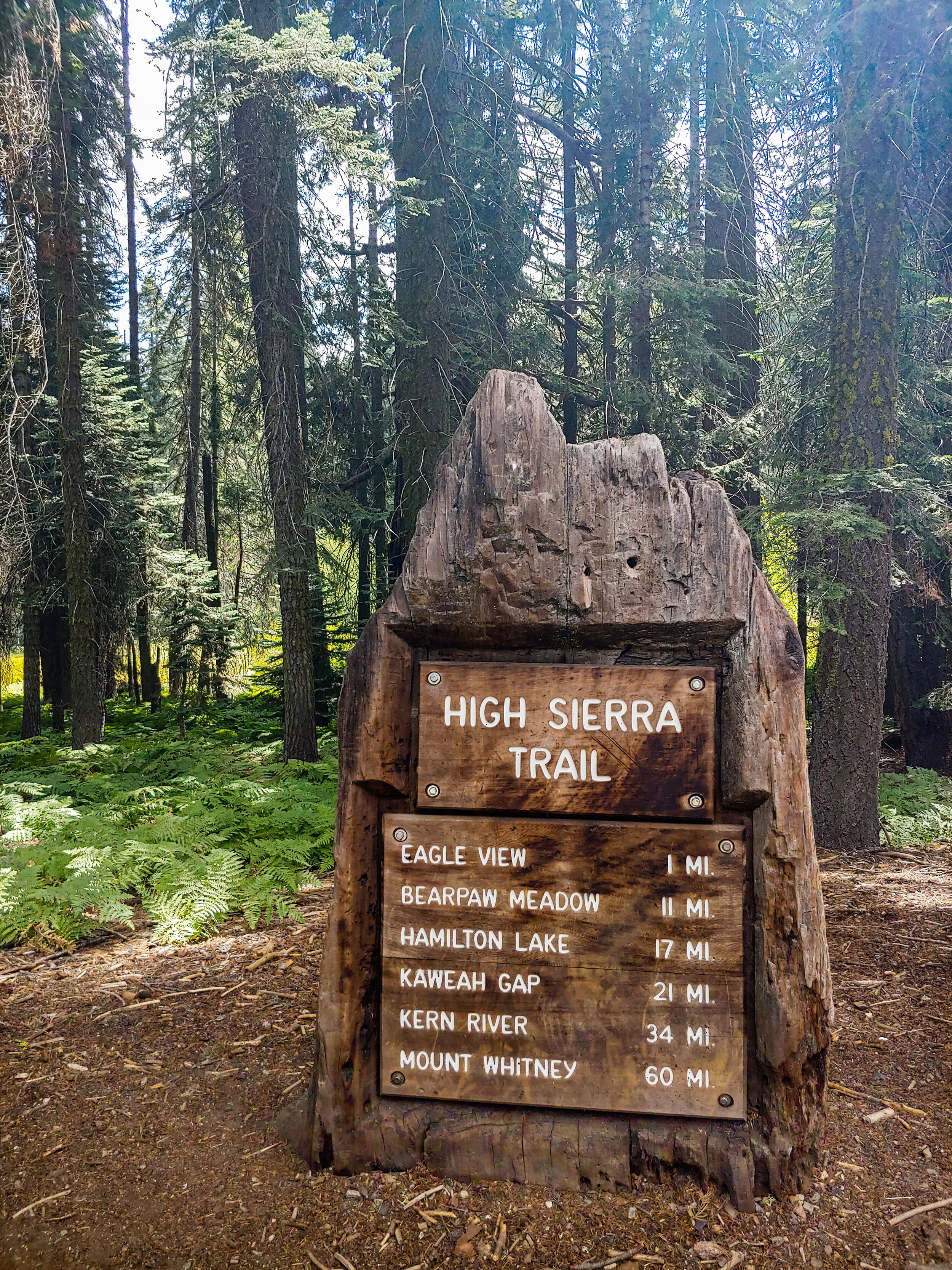
For the last few years, we had been hoping to get the chance to hike the famous 72-mile High Sierra Trail (HST). The trail starts in the Giant Sequoia groves at Crescent Meadow, and eventually takes you up the highest peak in the Lower-48, Mt. Whitney. The pandemic meant many of our options for transport, such as several buses, were canceled. Every step of our journey to the trail head (and back) was more complicated than expected. Despite the logistical issues, we made it from New Jersey to Crescent Meadow. It ended up taking us 8 days to complete the trail. It was well-worth it.
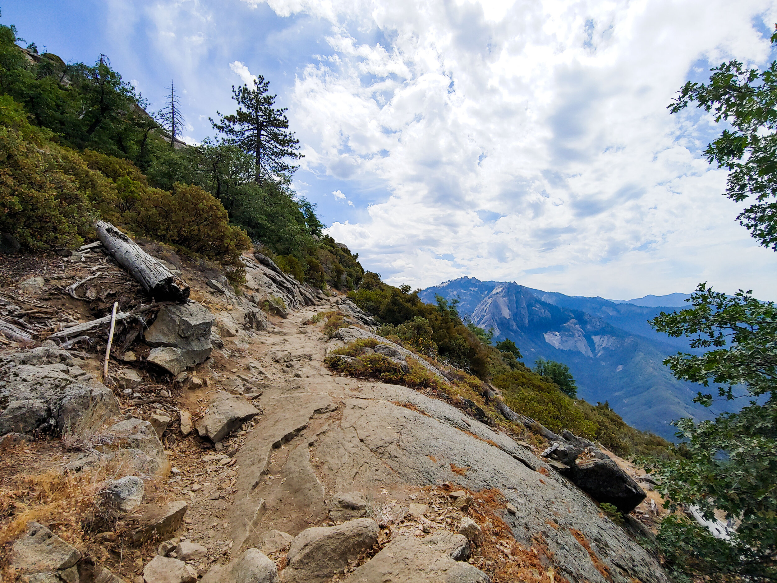
It was difficult adjusting to the altitude. The previous highest peak I ever climbed was Mt. Washington in New Hampshire at 6,288’. The start of the High Sierra was already at 6,500’. Most of the time we would be above 10,000’. With the highest point, Mt. Whitney, being 14,508’.
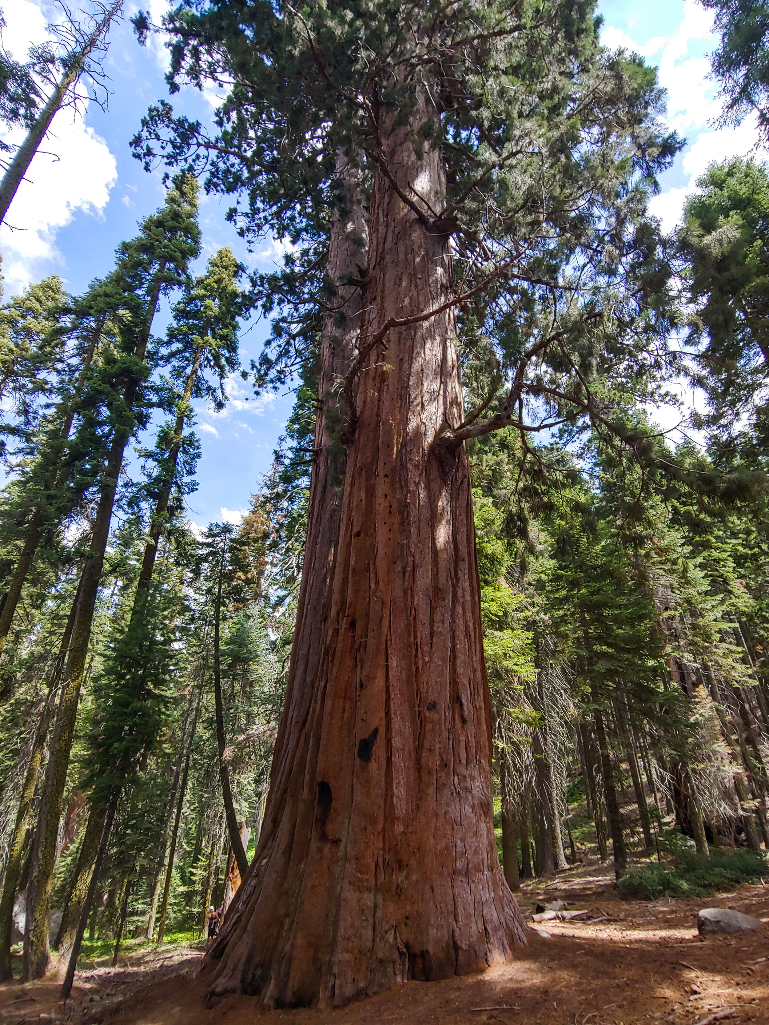
It was my first time seeing giant sequoias. Photos can’t truly show just how big there are.
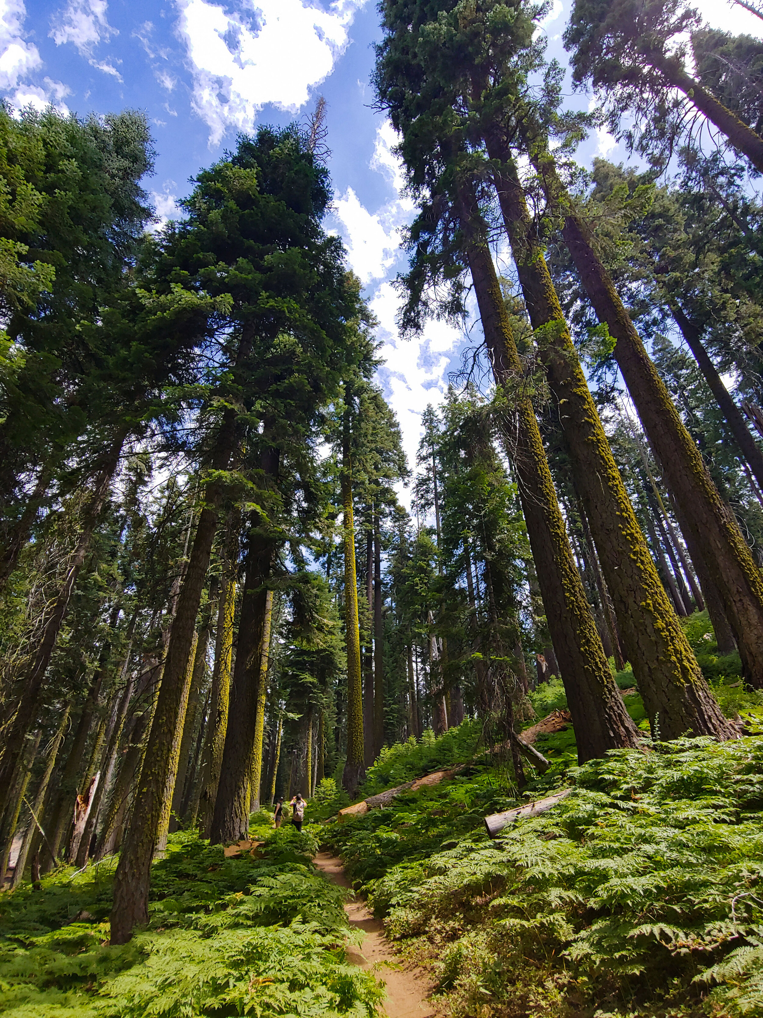
The first few miles of trails were full of day-hikers exploring Crescent Meadow, so I had to hike while using my bandanna as a mask. We had set-off fairly late since we had started the day at an Airbnb in Fresno. Most of the HST thru-hikers, I assumed, had already set off earlier that morning.
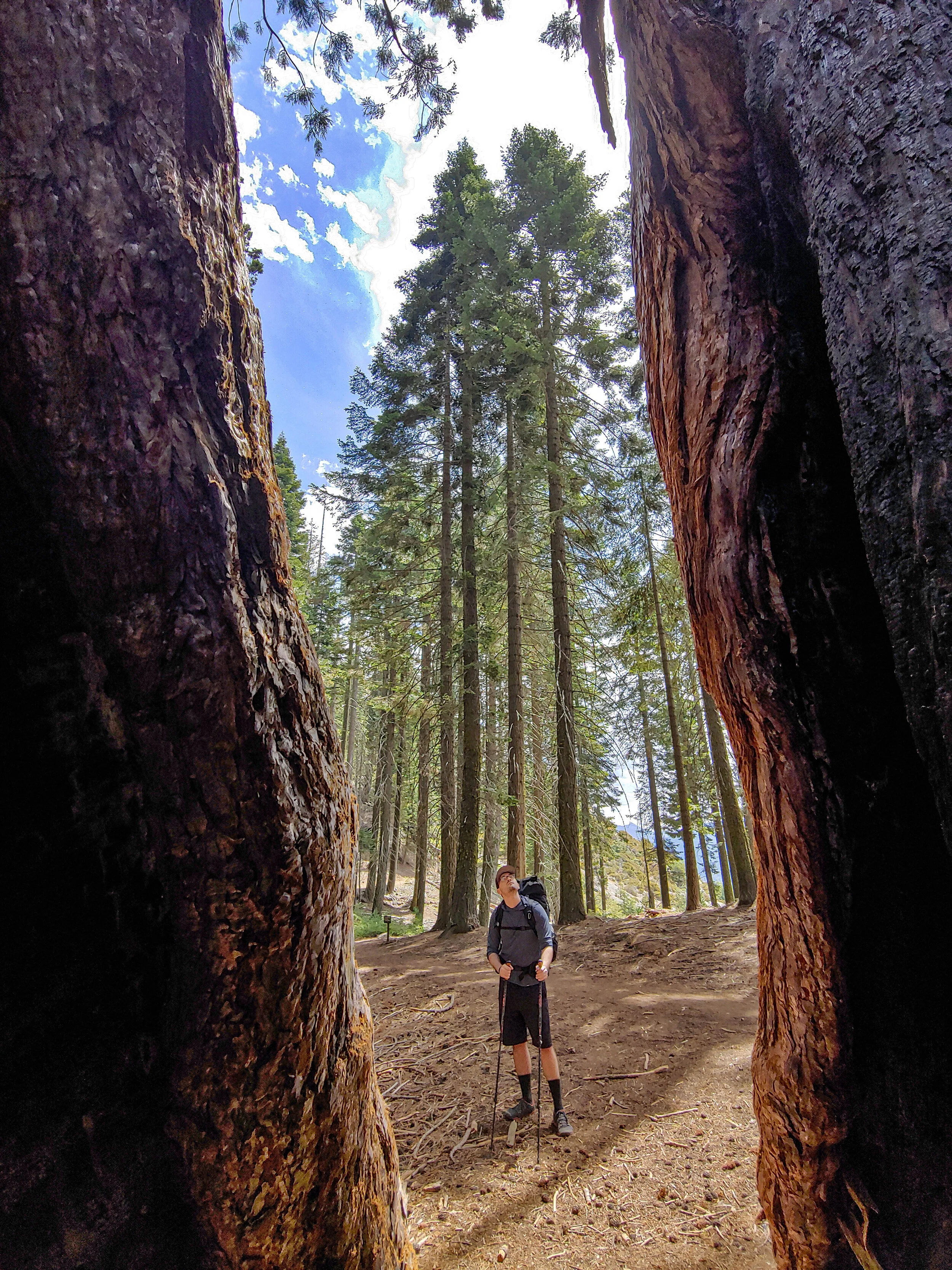
It had been 6 years since we last did a backpacking trip that was more than 4 days long. This hike wasn’t going to be our longest (that title goes to our ~280 mile AT section), but with the upcoming elevation gain, I expected it to be our hardest.
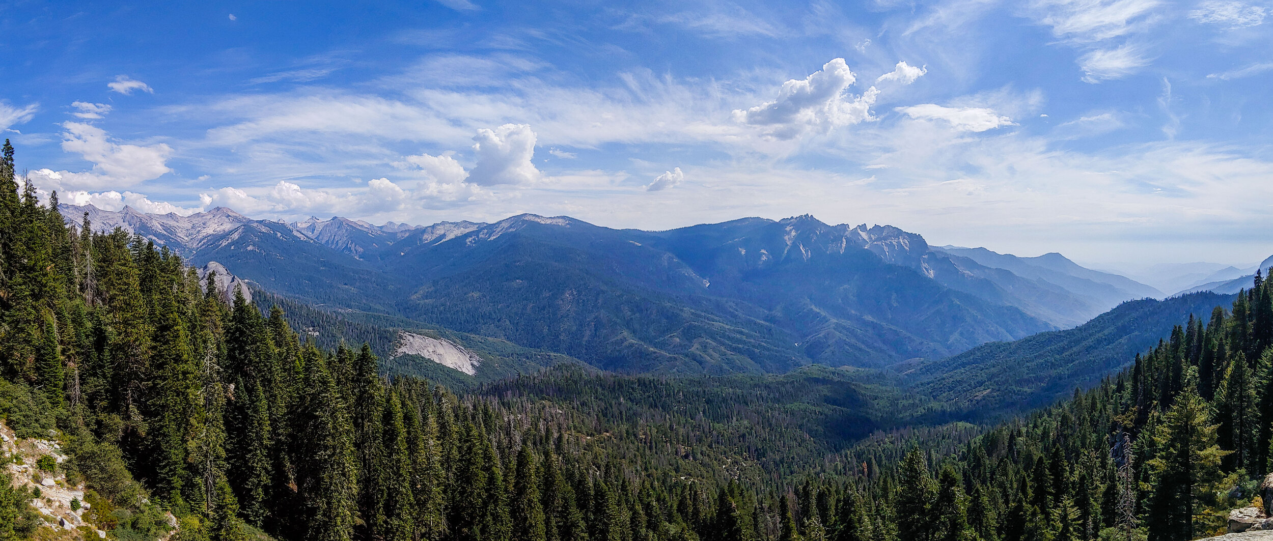
Since the pandemic hit months before we were due to set off, I tried not to let myself get too excited about the hike. I didn’t know whether it would happen or not. Finally, after a few hours of hiking the Sierras, the excitement of what I was doing began to set in.
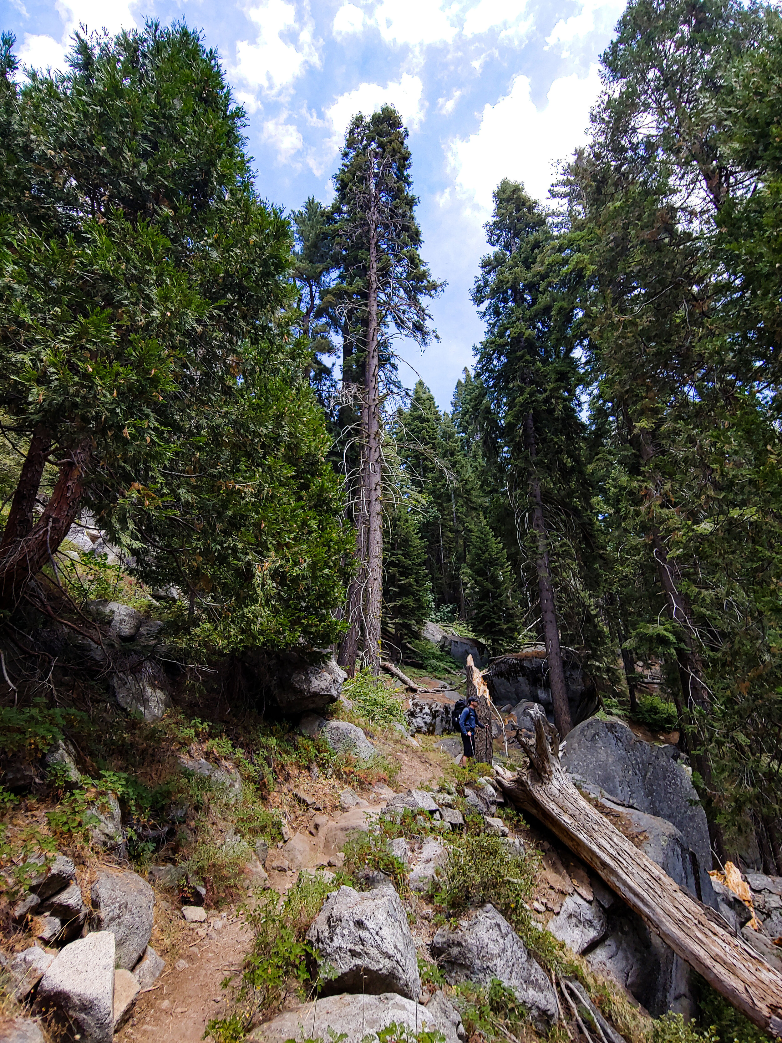
I felt that if I had gone back in time thousands of years, or even hundreds of thousands of years, the forest would look and feel the same.
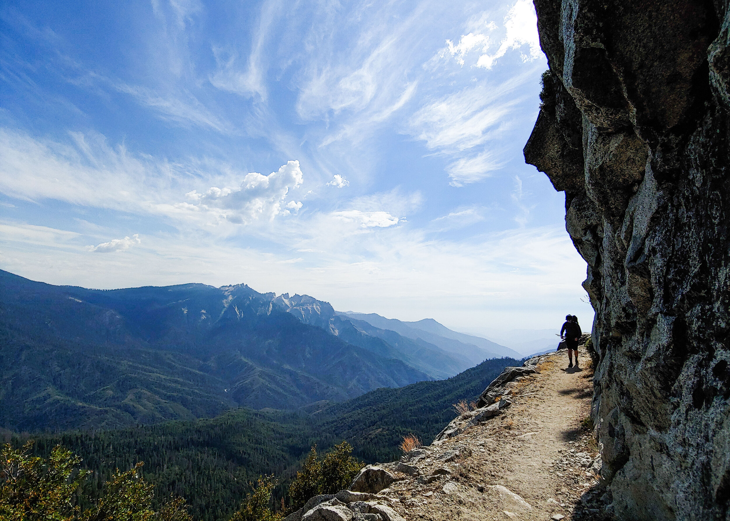
It was perfectly quiet that day. We heard few birds singing, and compared to the forest back home, there were almost no insects either. The dry mountain air made it feel like the moisture was being sucked from my lips and mouth. The humid and noisy woods of NJ/NY seemed like they might as well be on a whole other continent. The Sierras were like nothing we hiked before.
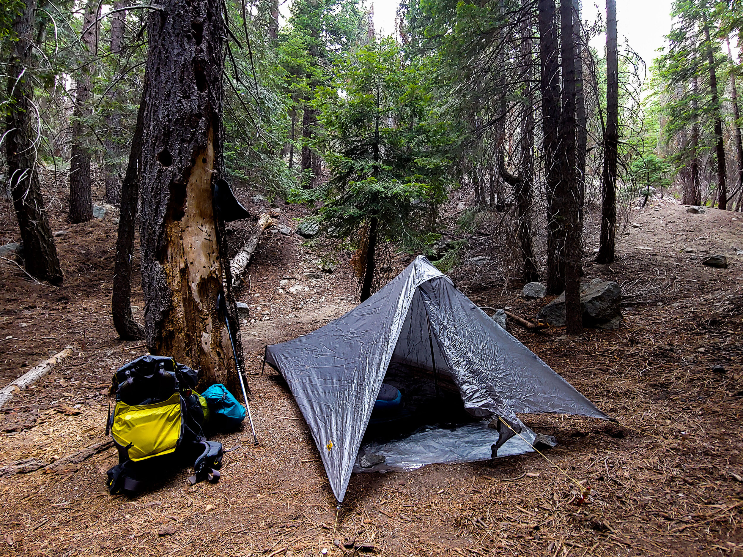
After 9 miles we made it to the first camp site, the aptly named Nine Mile Creek. We arrived earlier than expected, it was only 4:30pm. Back on the AT we would usually keep hiking until 6 or 7pm, but on the HST the campsites are further part, making it difficult to go ‘just a few more miles’.
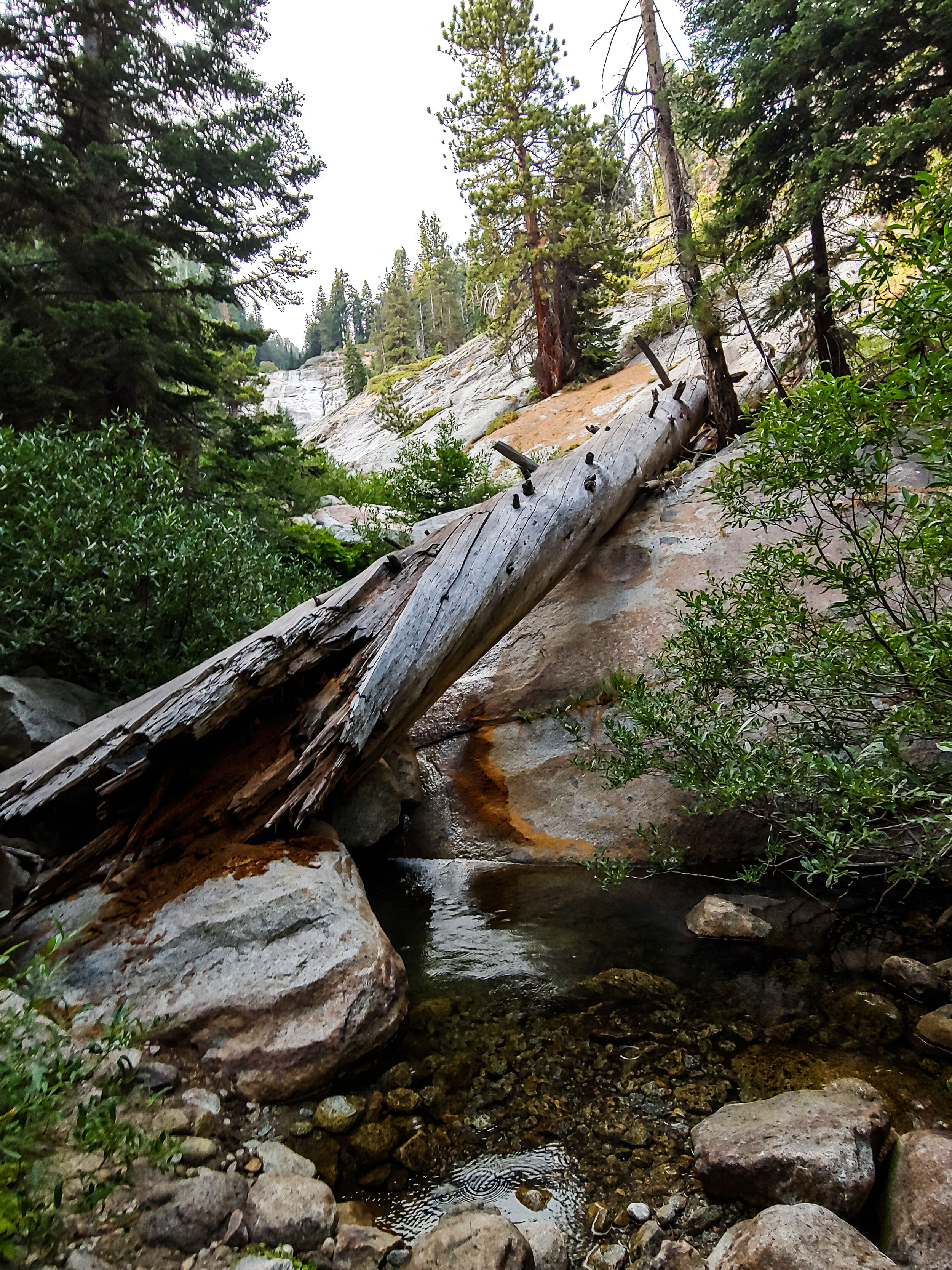
A few other groups of HST thru-hikers were already at Nine Mile, but most were set up far from our tents. We spent the first night sitting by this pool in the creek and watched the stars come out.
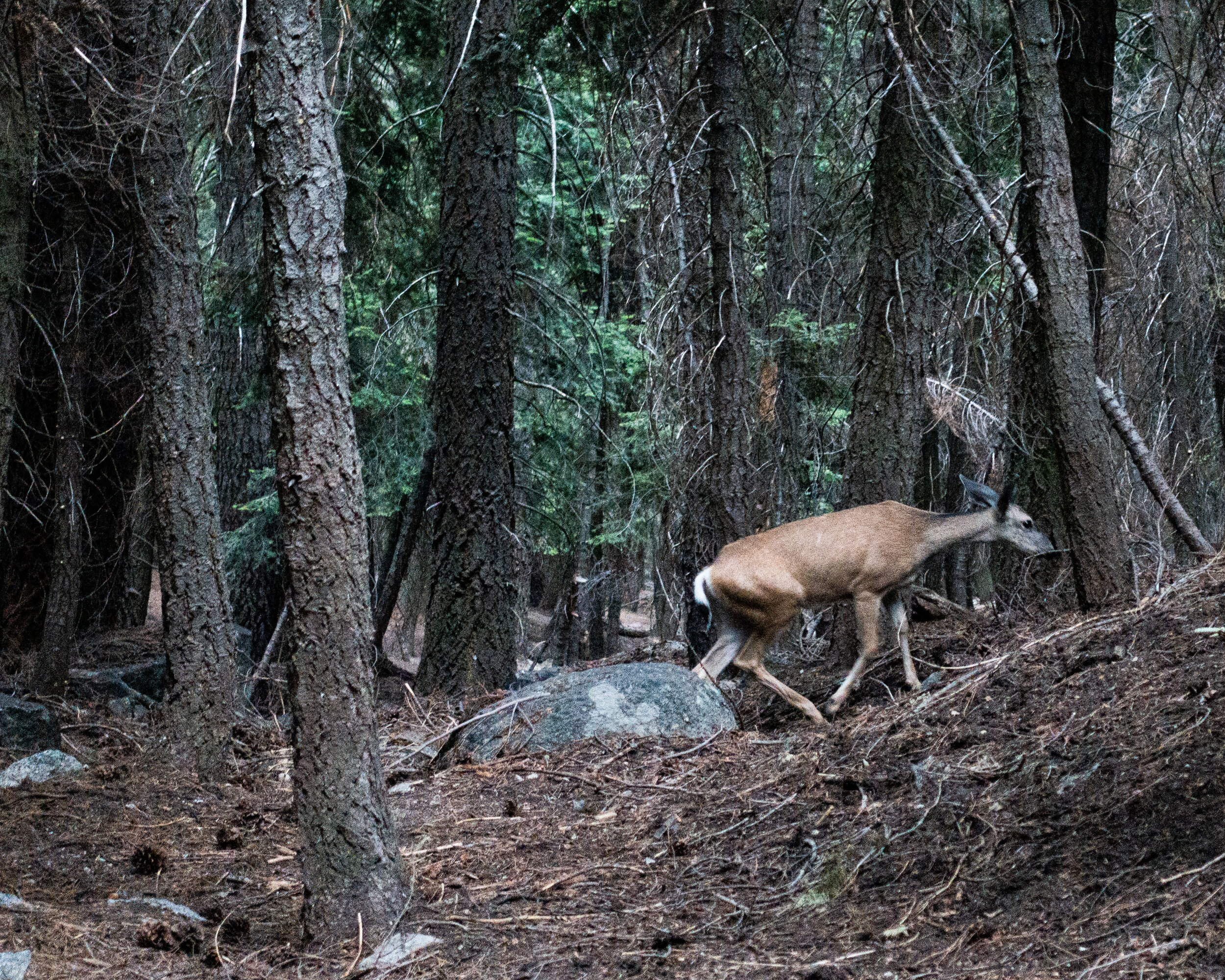
The next morning we were visited by a curious deer that was checking out the campsites of the hikers who left before us. It came within about 15 feet of our tents.
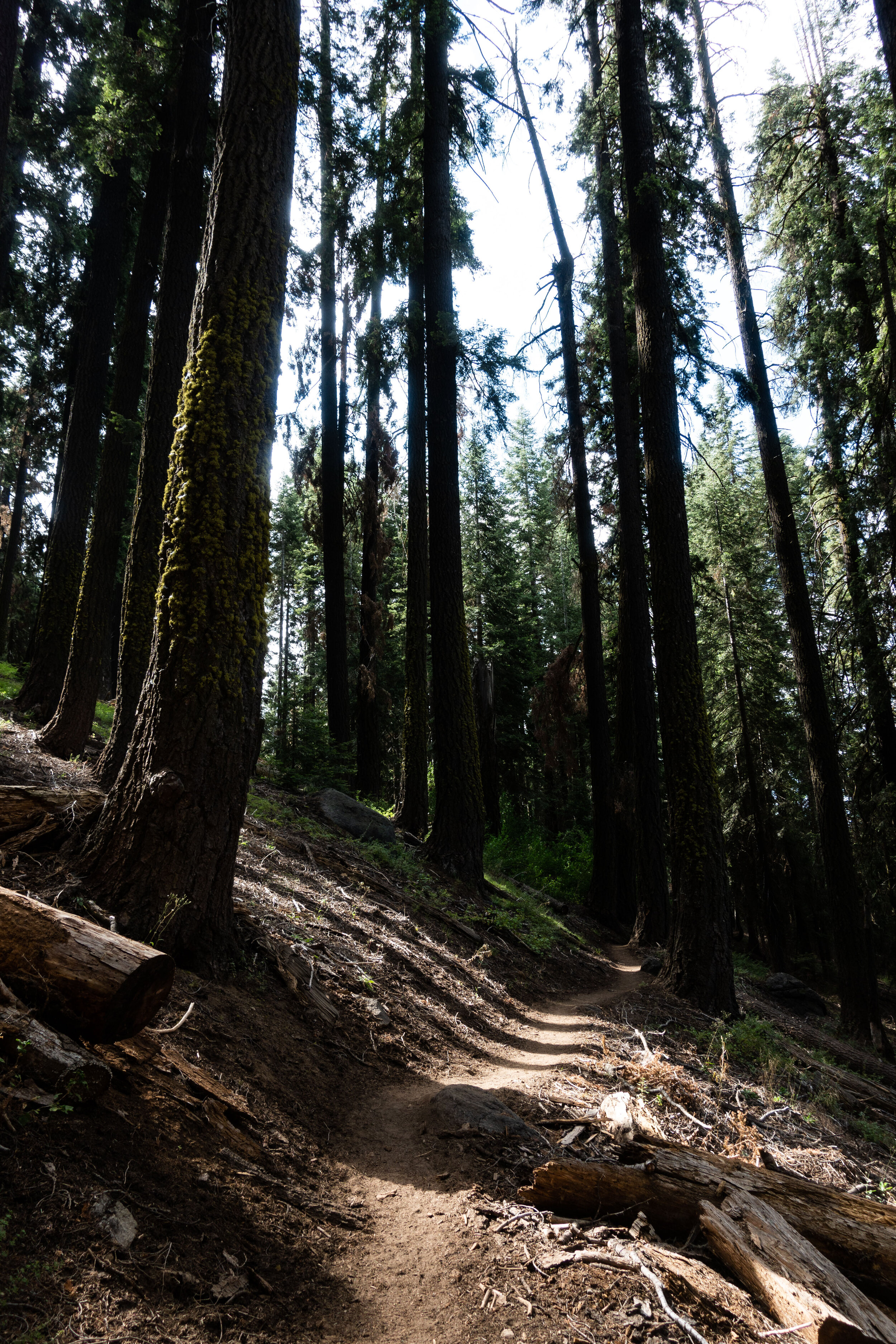
We started later in the day than the other thru-hikers, but it was only a 7 mile hike to our next destination, Big Hamilton Lake.
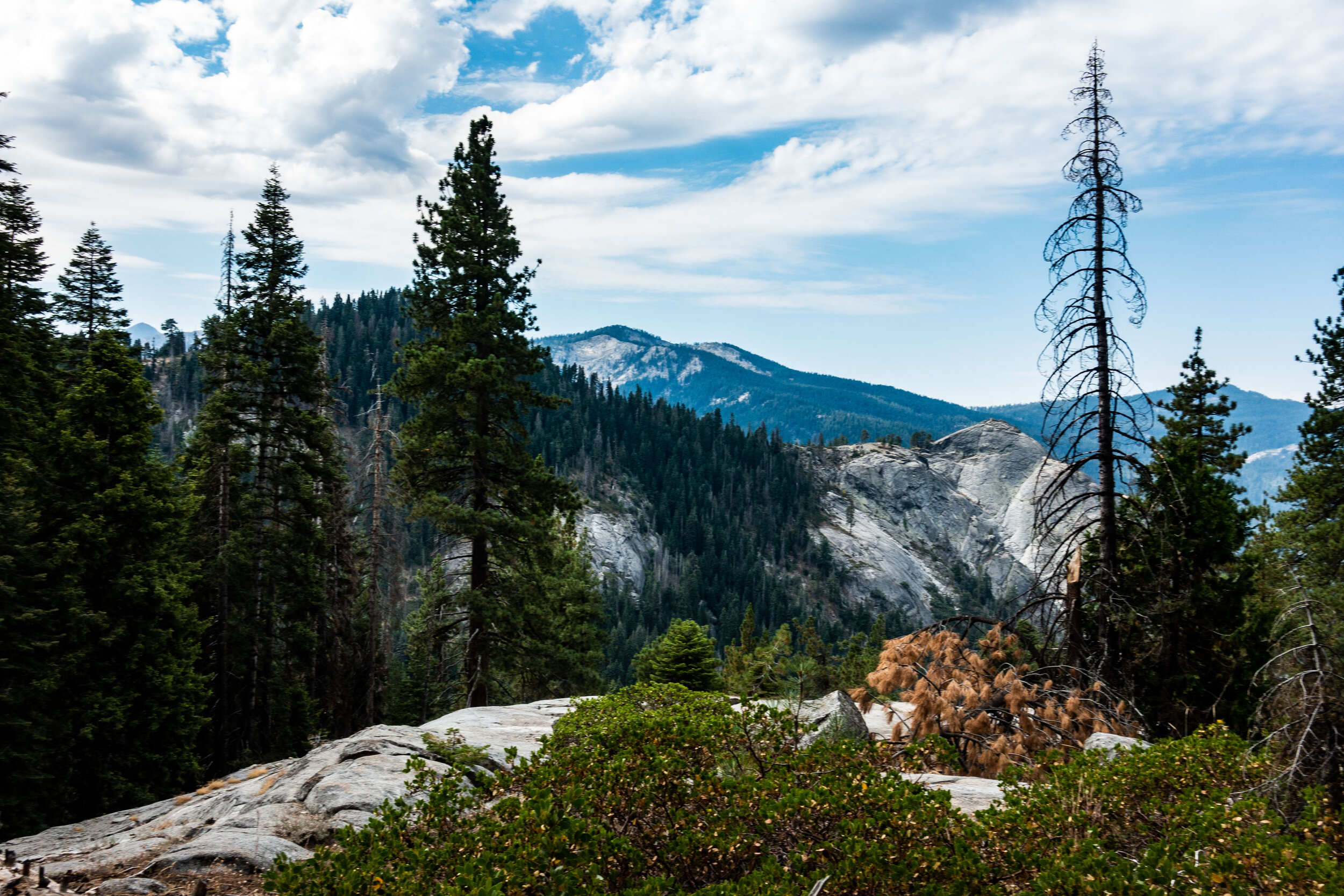
The day started easy. The temperature in the shade was perfect, and the trail was mostly flat. Although we knew a big climb was coming near the end of the day.
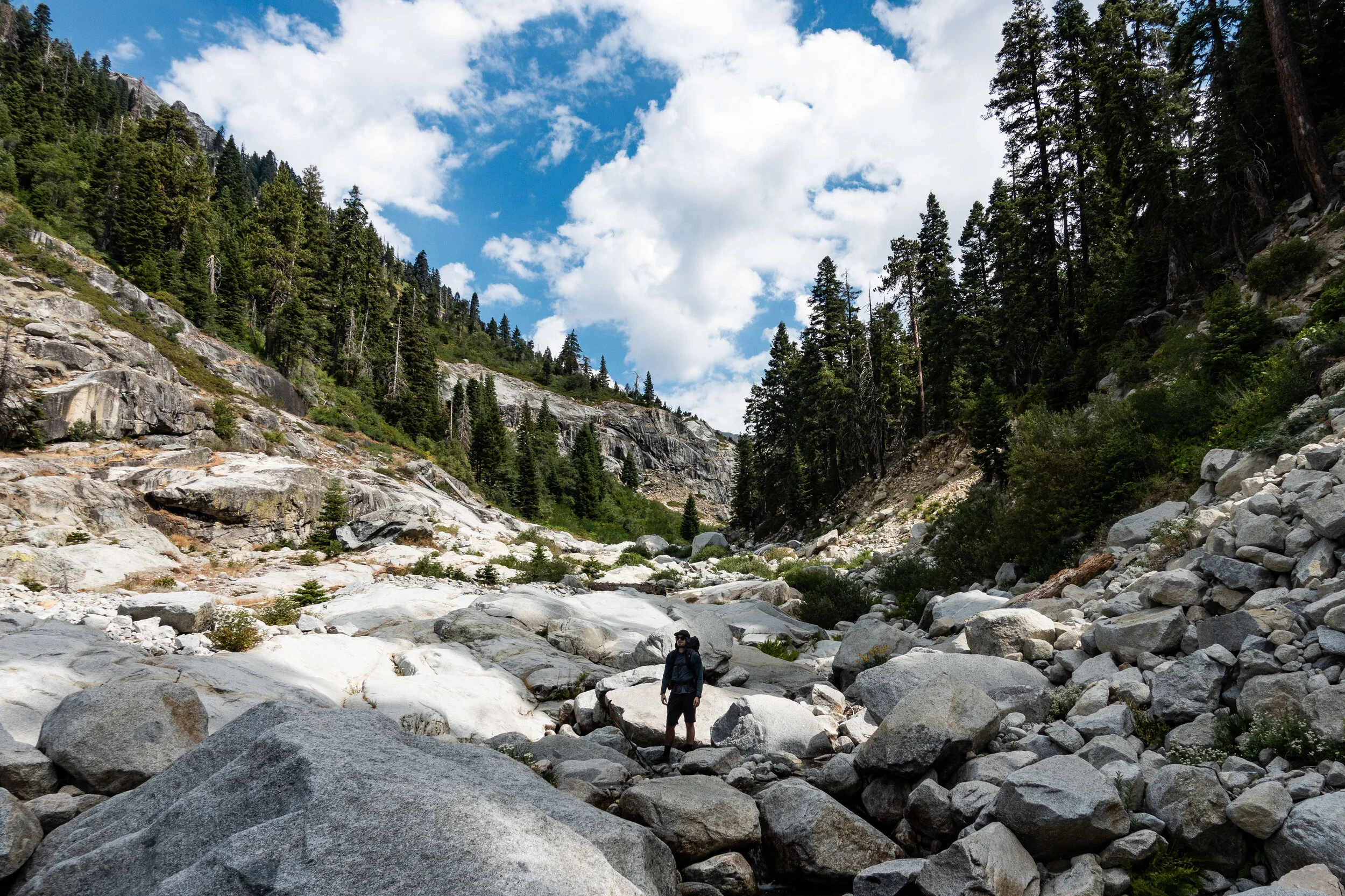
We soon reached Buck Canyon, and decided to spend some time looking around and taking it in.
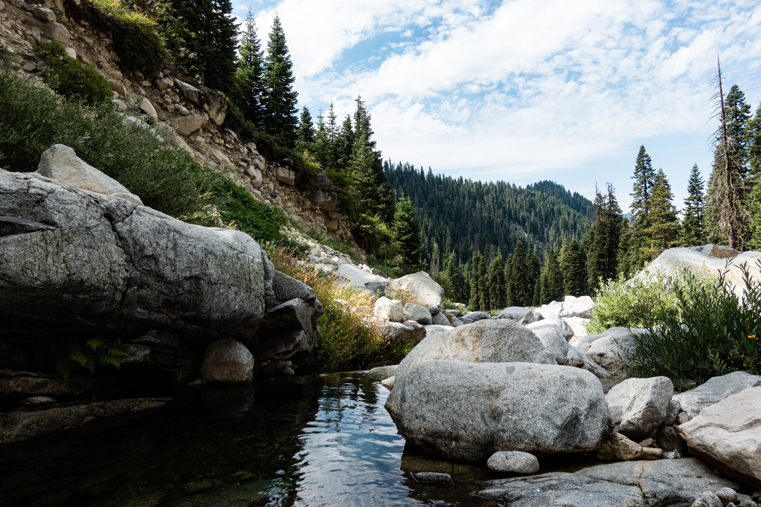
We found the Sierras had an abundance of fresh water for us to drink. A benefit of all the snow melt from higher elevations. At least once an hour we passed a stream that would be considered a rare find hiking on our usual trails in the Northeast.
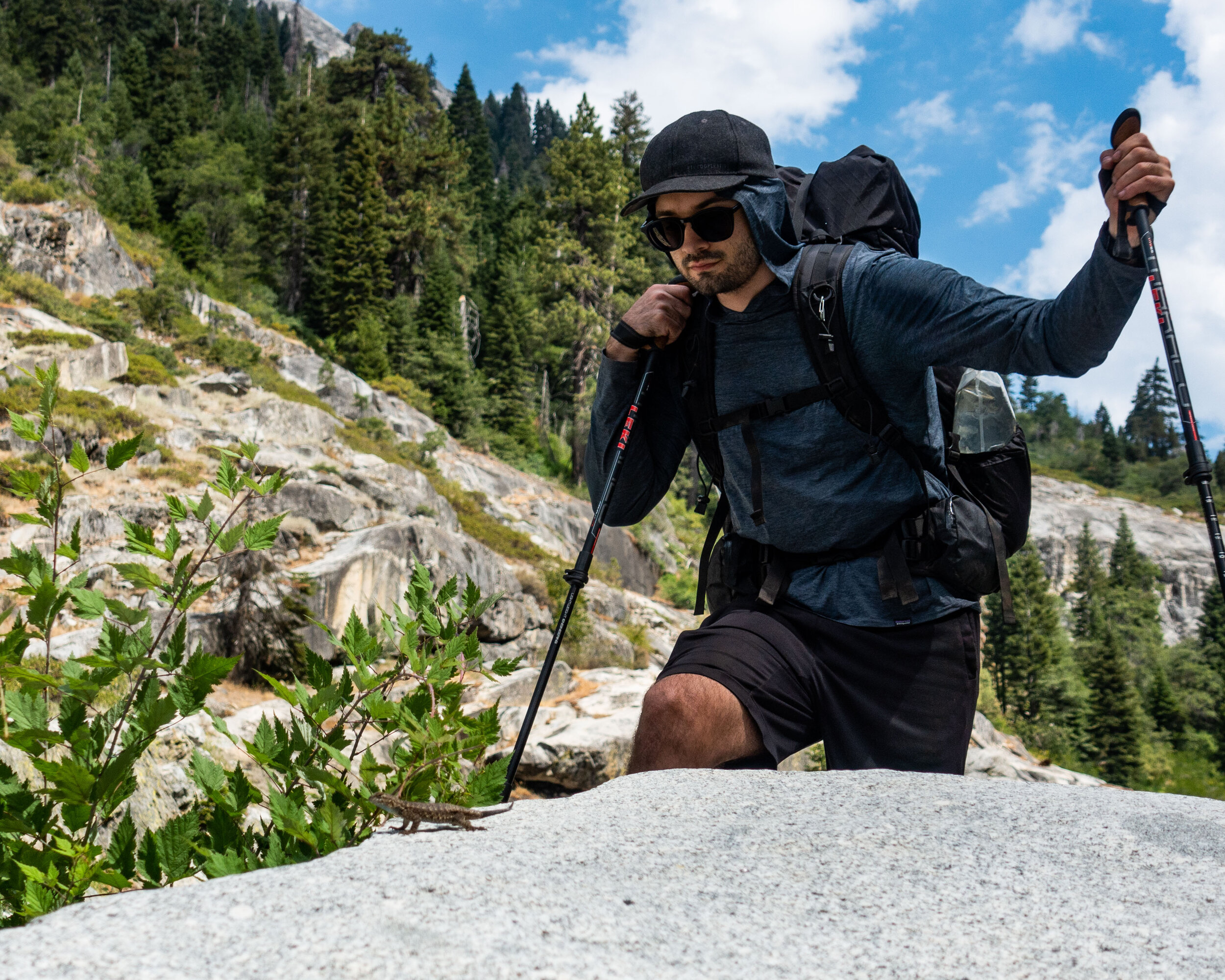
A common sight as we hiked along the HST were small lizards. We would surprise them as they sunbathed on the exposed rocks on the trail, and scurry away once we got close.
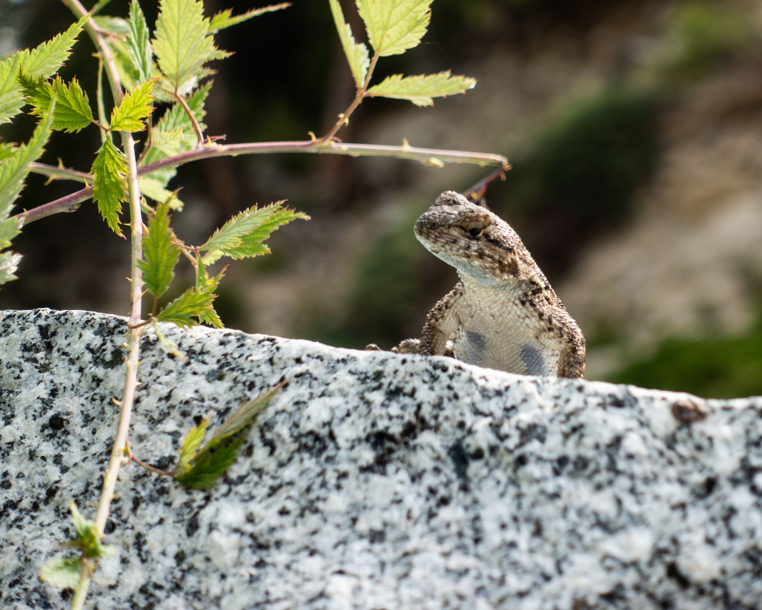
This was the closest I able to to get the entire hike…
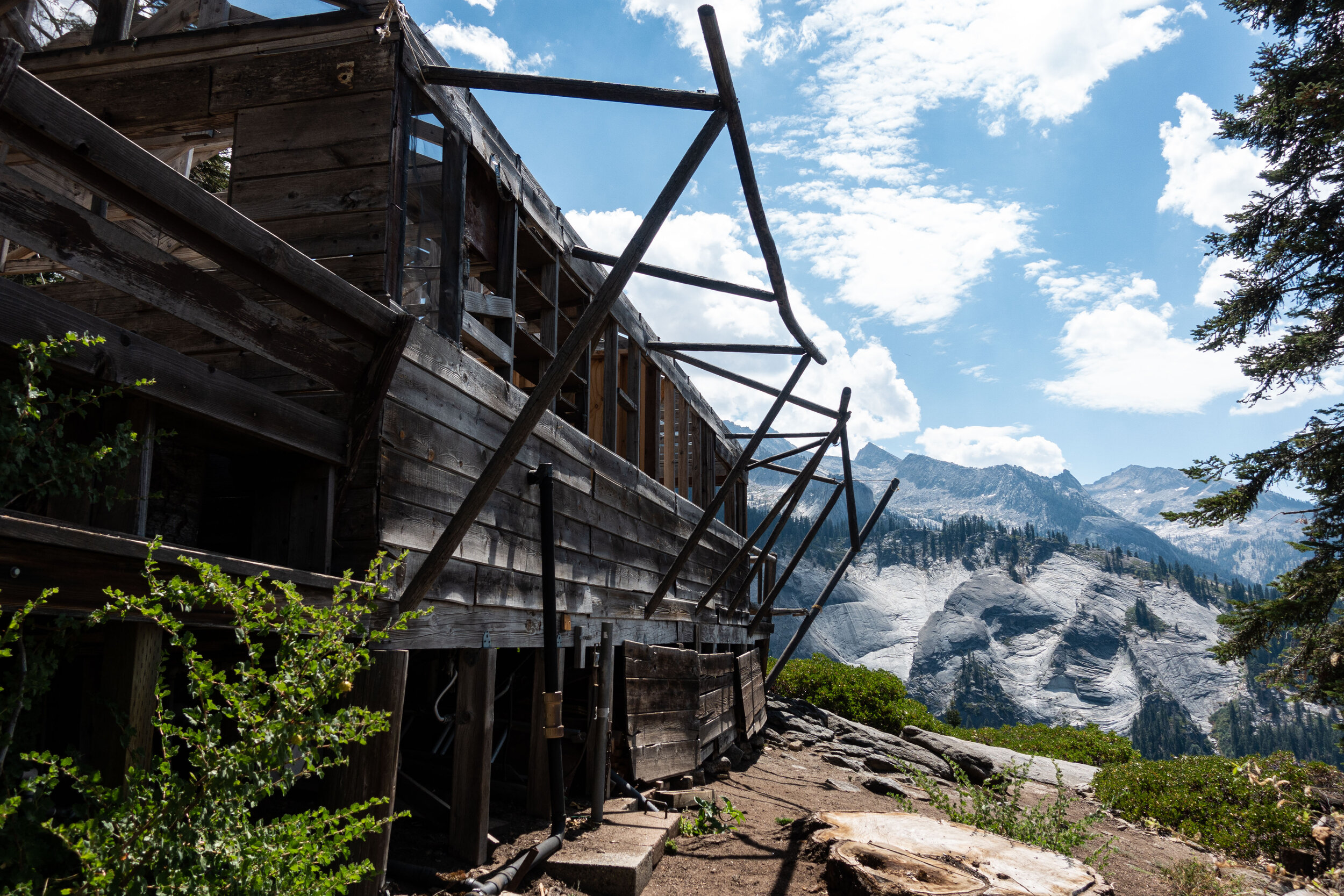
Bearpaw Camp is a tent cabin hotel built in the 1930s. Unfortunately, it was closed since last year because of damage it suffered from an unusually heavy snow year. It was still the perfect place to rest before the push to Big Hamilton.
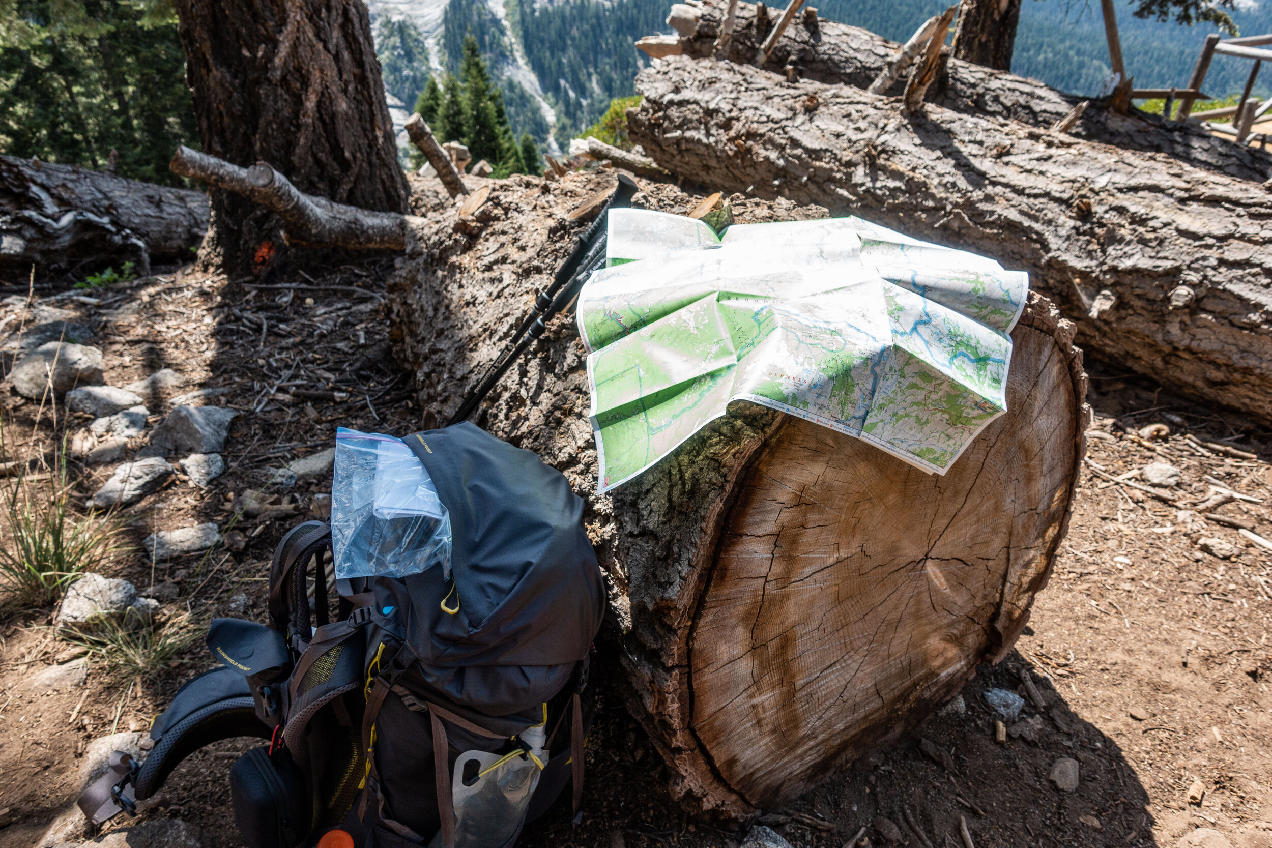
We hung around Bearpaw for awhile before moving on.
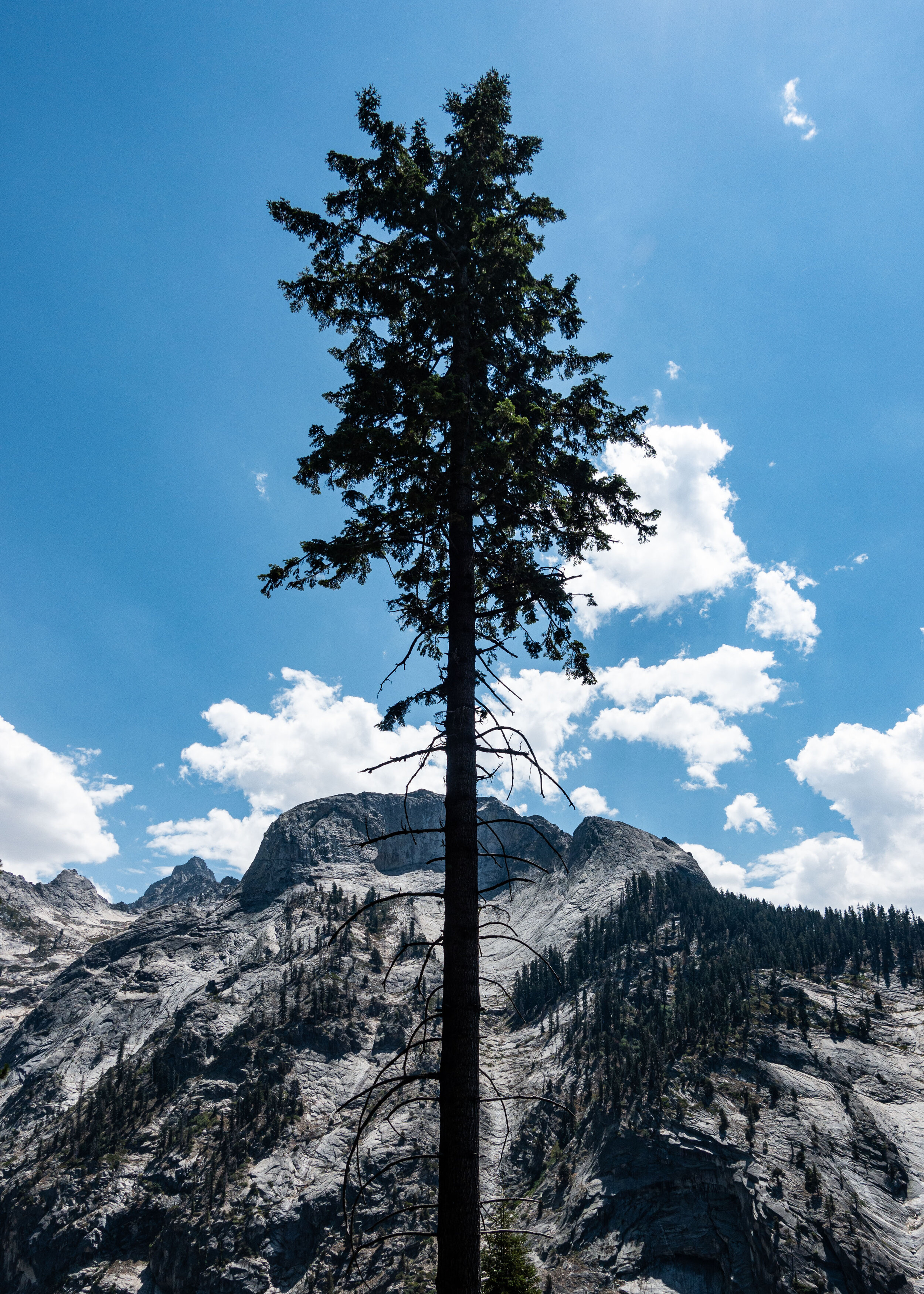
The slope across from us was scared with groves that looked like they were made by avalanches. The bottom of the valley was full of massive boulders and dead trees.
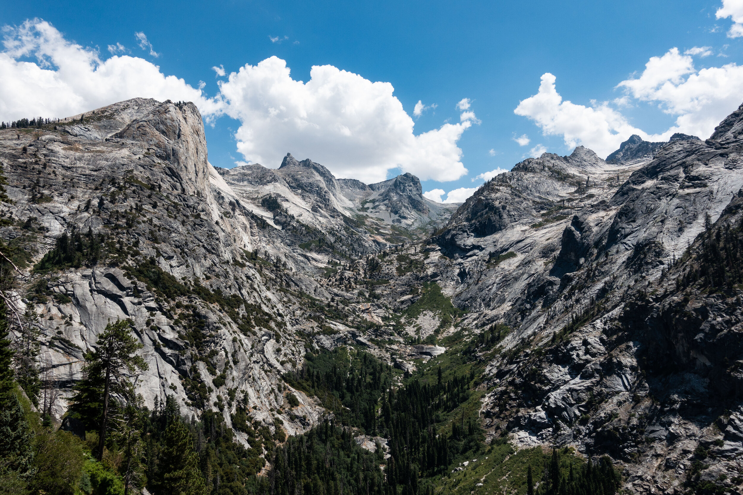
I’ve never seen mountains like these. The closest I’ve come was in the White Mountains of New Hampshire, since some of those peaks are above tree line, but really there is no comparison to these formations. Sometimes I had to stop hiking just to stare.
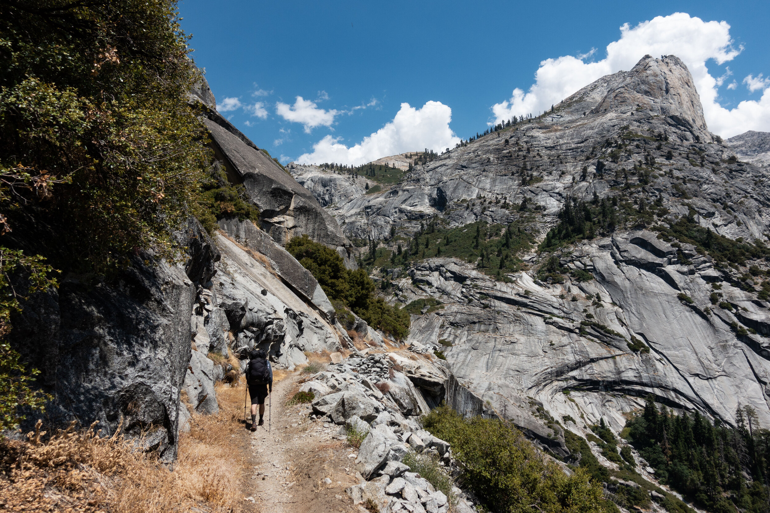
This was one of the first first times the trail properly opened up and let us take in the sights above treeline. I couldn’t help but to think about how difficult it must have been to construct this trail through these mountains back in the 1930’s.
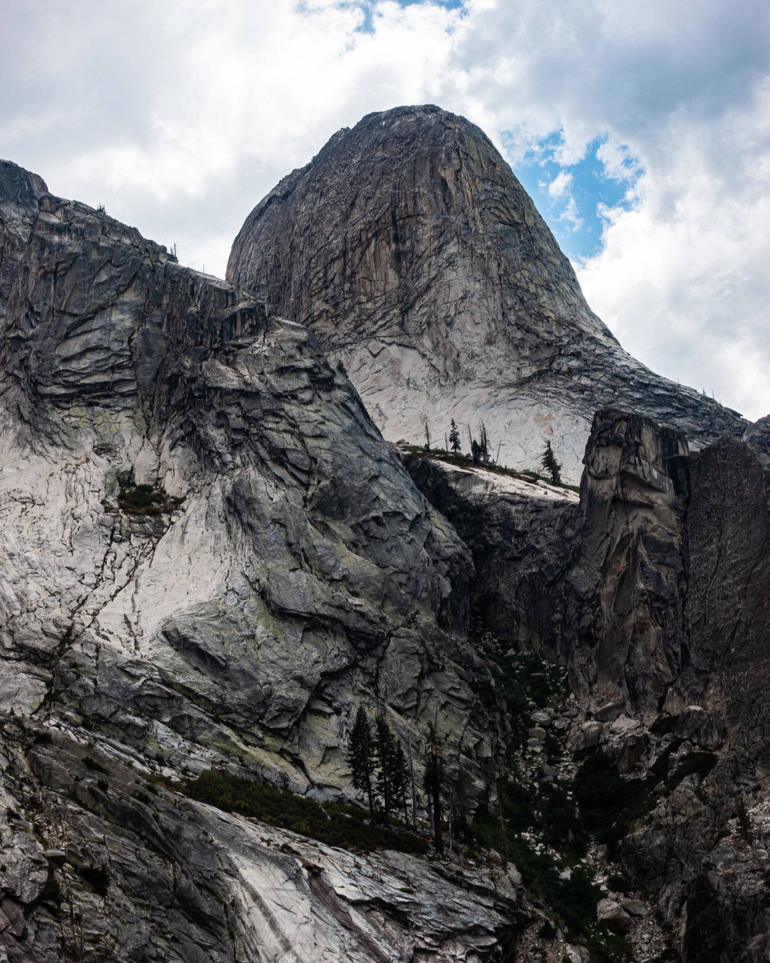
Seeing the scale and beauty of these towering granite mountains was more than enough to justify coming all the way here.
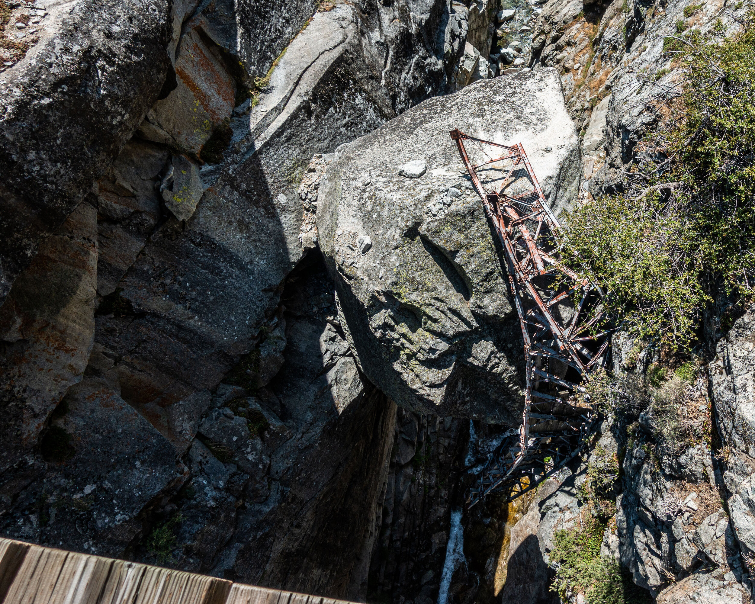
Right before starting the last climb to the lake, we crossed a wooden bridge over a gorge, but when we looked down we saw the twisted remains of a previous bridge that must have once spanned the gorge. It looked at if the large boulder its resting on might have taken it out during a landslide, but we weren’t sure.
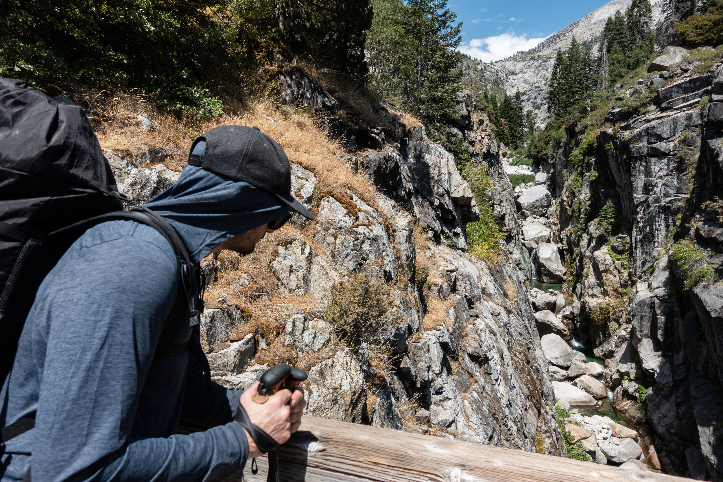
It was a long way down to the old bridge.
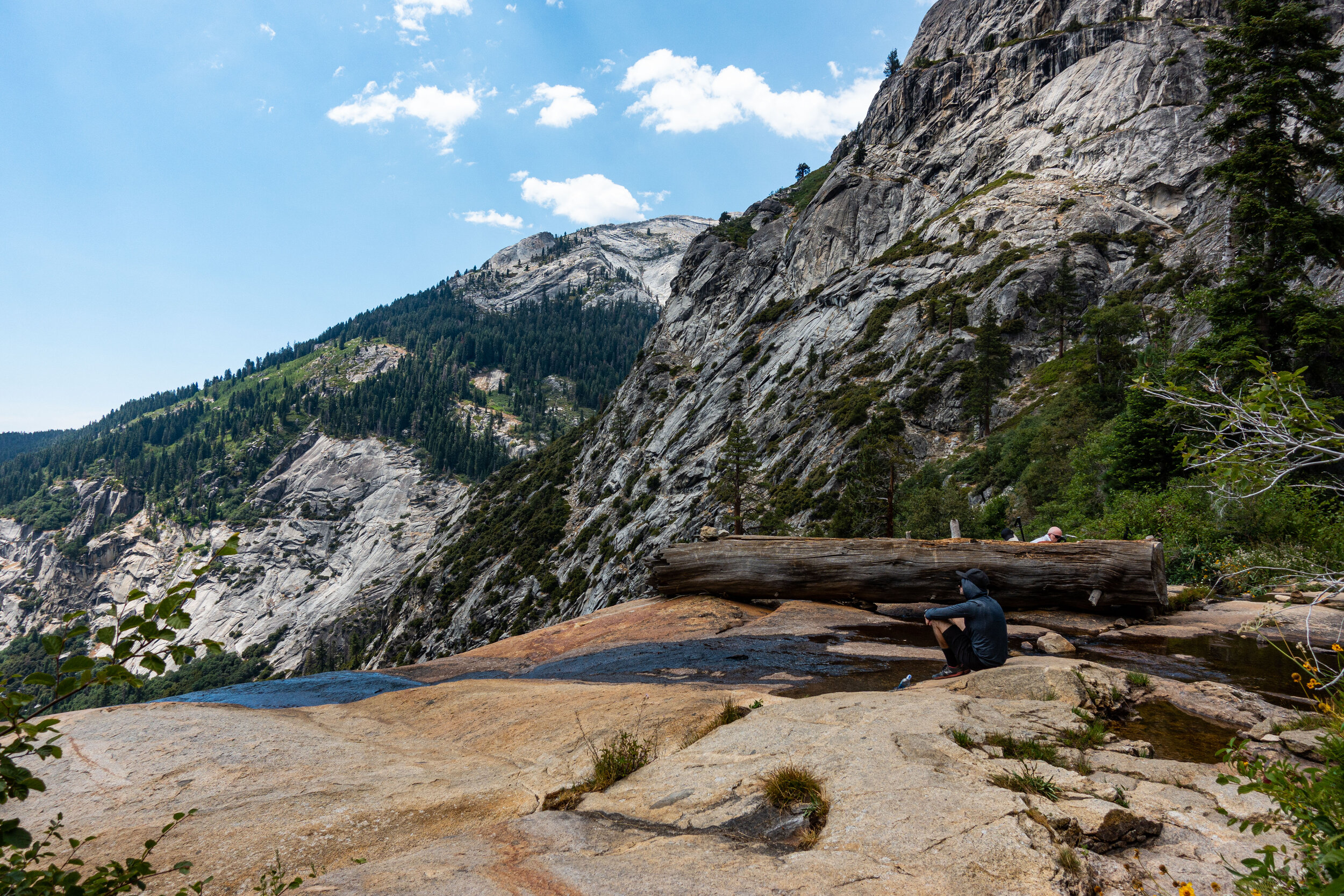
This creek was flowing down from Hamilton Lakes, we stopped to relax and fill up our water.
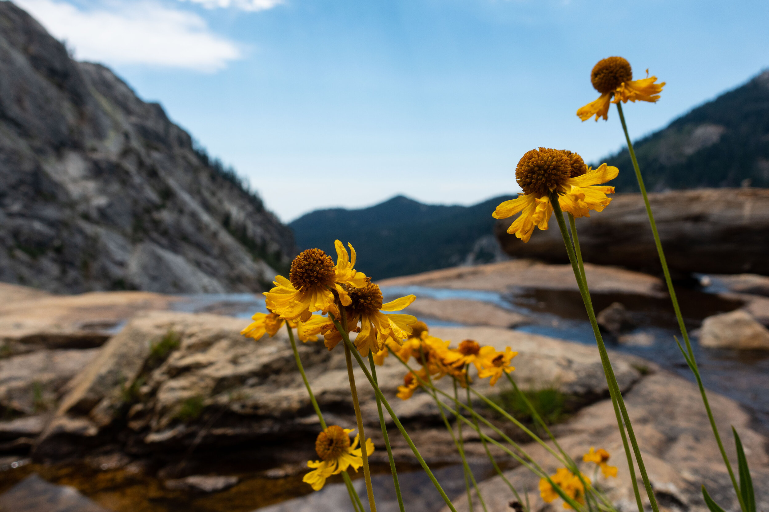
I believe these flowers are called “Bigelow's Sneezeweed”. We saw many glowing along the trail.
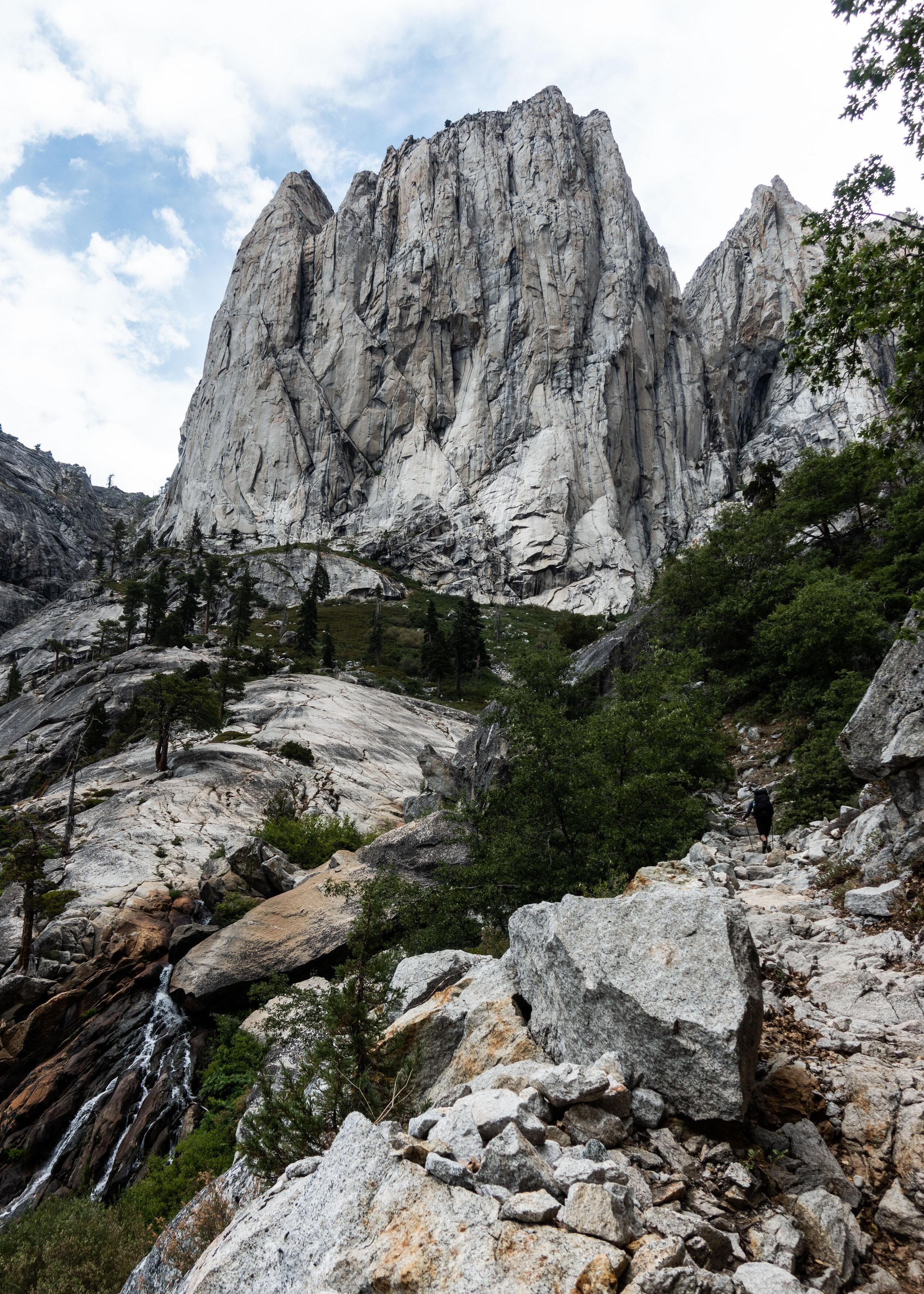
It was a tough climb. The trail up to the lake was very exposed and climbing up in the early afternoon meant the temperature was high. I was still feeling the affects of the high altitude. Hiking one mile in the Sierras felt like hiking three in Appalachia. I was exhausted.
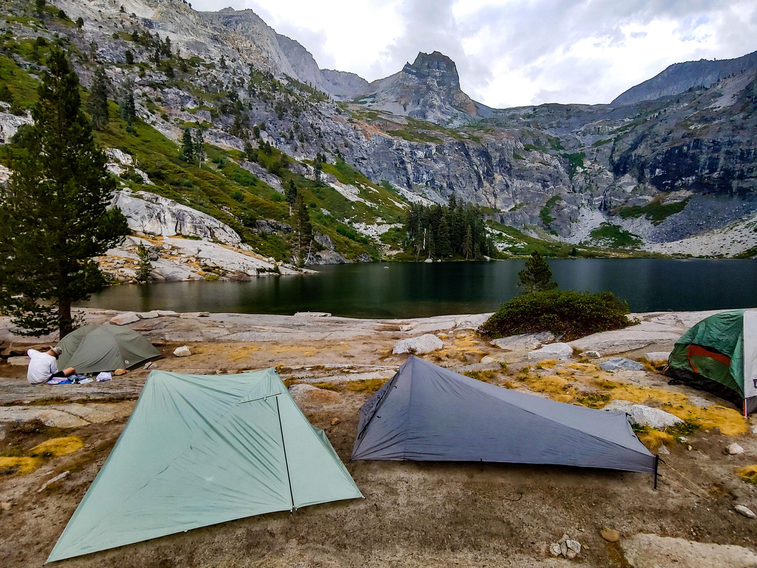
Big Hamilton is a popular camping spot. We learned that many people hike the HST just to spend a day there before heading back to Crescent Meadow. Thankfully we found a good tent site close to the water, right before it started to drizzle. Once the rain stopped however, powerful gusts of wind came pouring over the rim across the lake. We had to use all of our tent stakes, and some rocks, to secure our tents. The tent you see next to mine, on the far right, was completely blown over by the high speed winds. Our neighbors were gone at the time, but Mike and I were there to catch the tent in time.
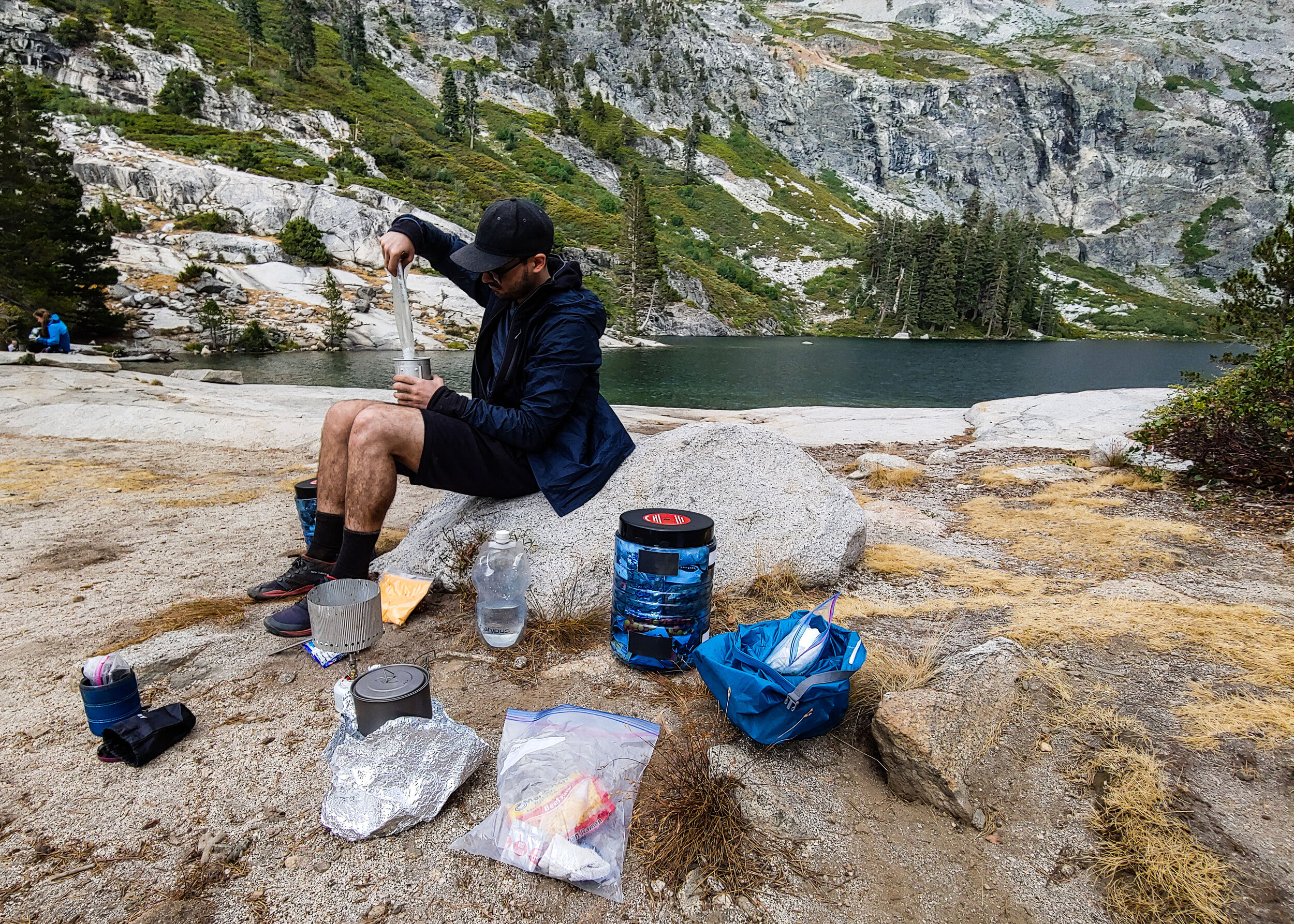
We unpacked our food and cooking gear and started to cook a well-earned meal.
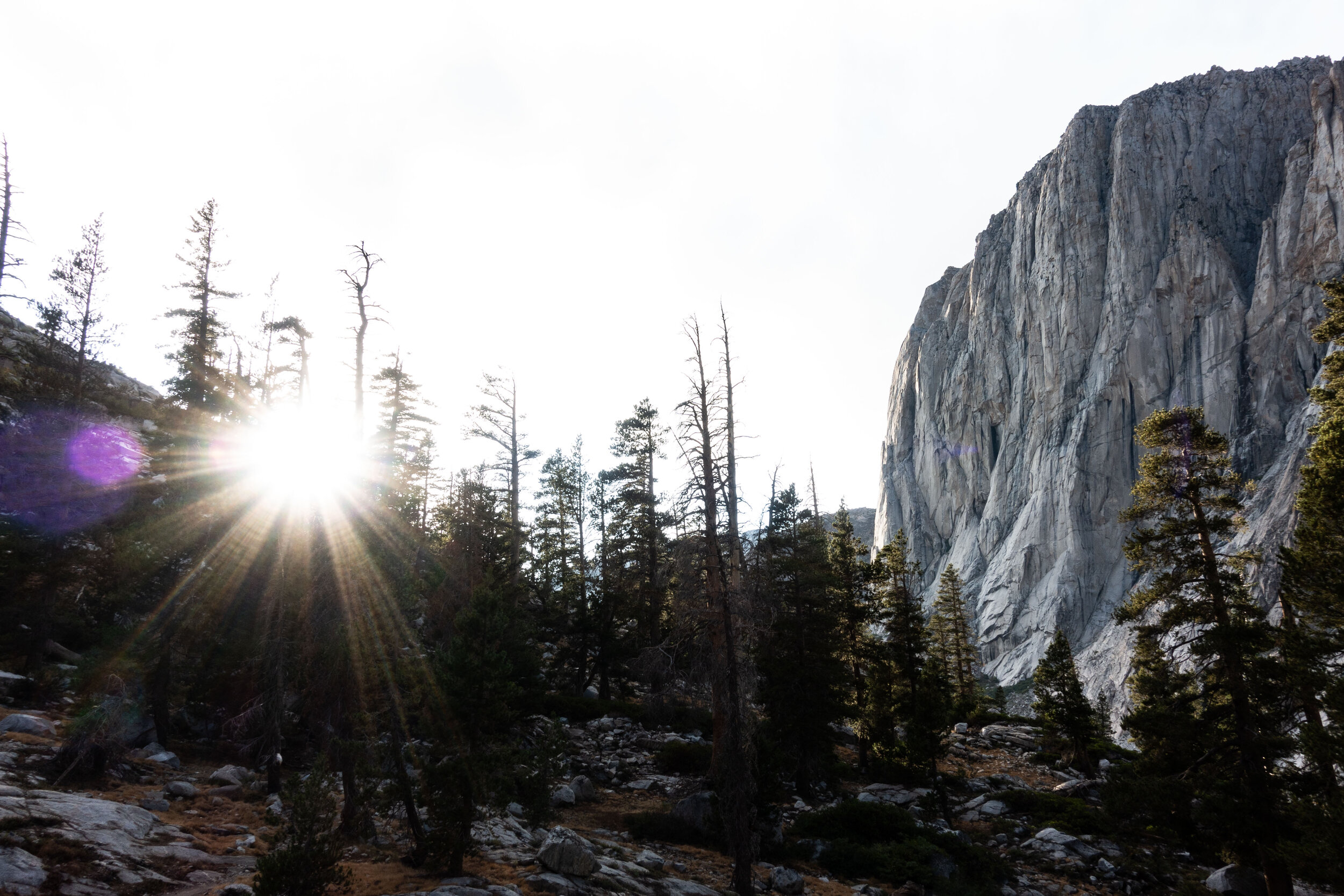
The rain and wind cleared out just in time for sunset, I went up a small trail that ran up a hill near the lake to have a look.
(Later that night, I went up this same trail west of the lake to use the bathroom. After walking a hundred or so yards from camp I heard a stomp on the ground. I looked up and my headlamp was just bright enough to illuminate two eyes of some large animal about 10 yards ahead of me. I decided to turn back rather than stick around to find out what it was.)
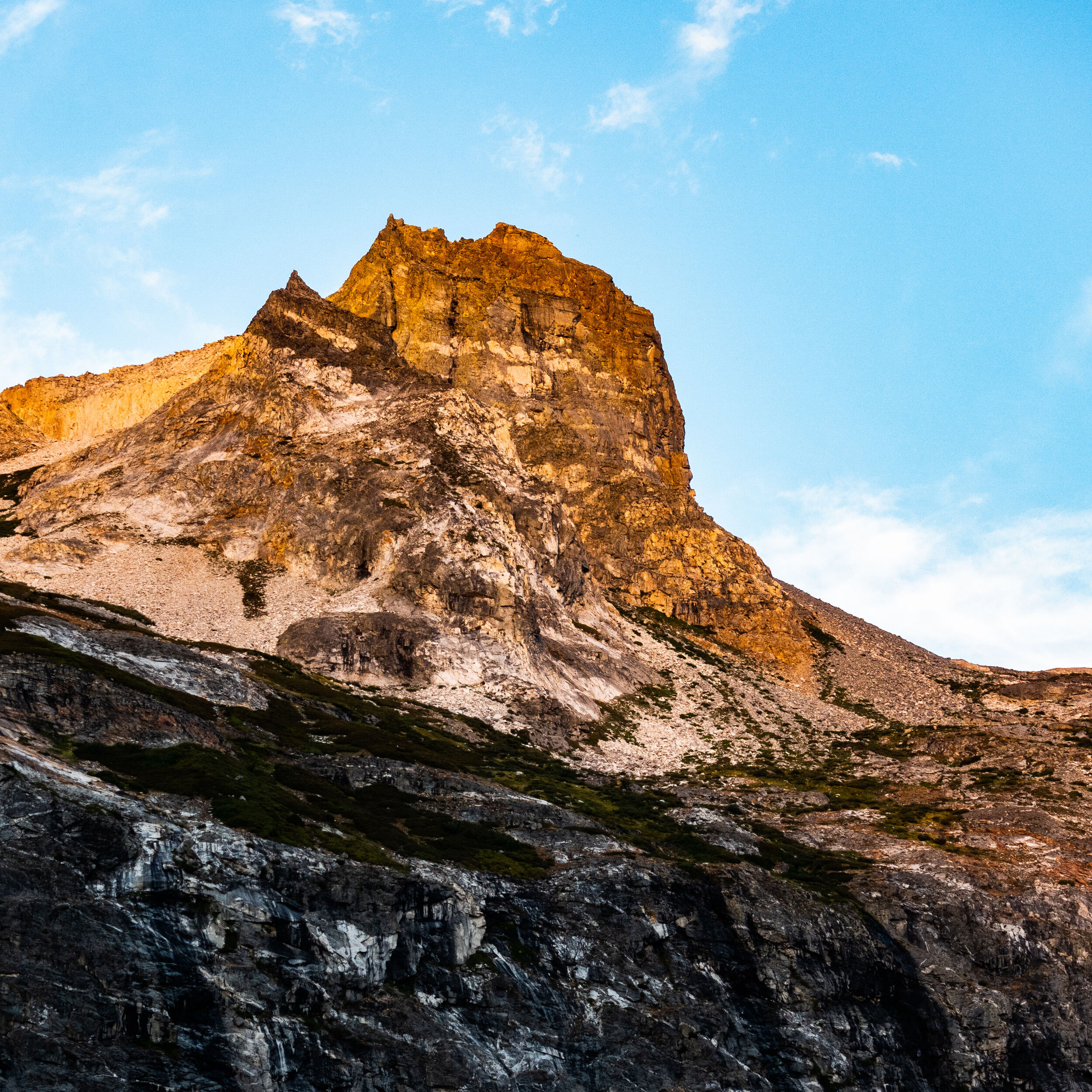
I could easily see what draws in so many hikers to take the HST just to camp at Big Hamilton. It was the most popular spot we stayed at the entire trip.
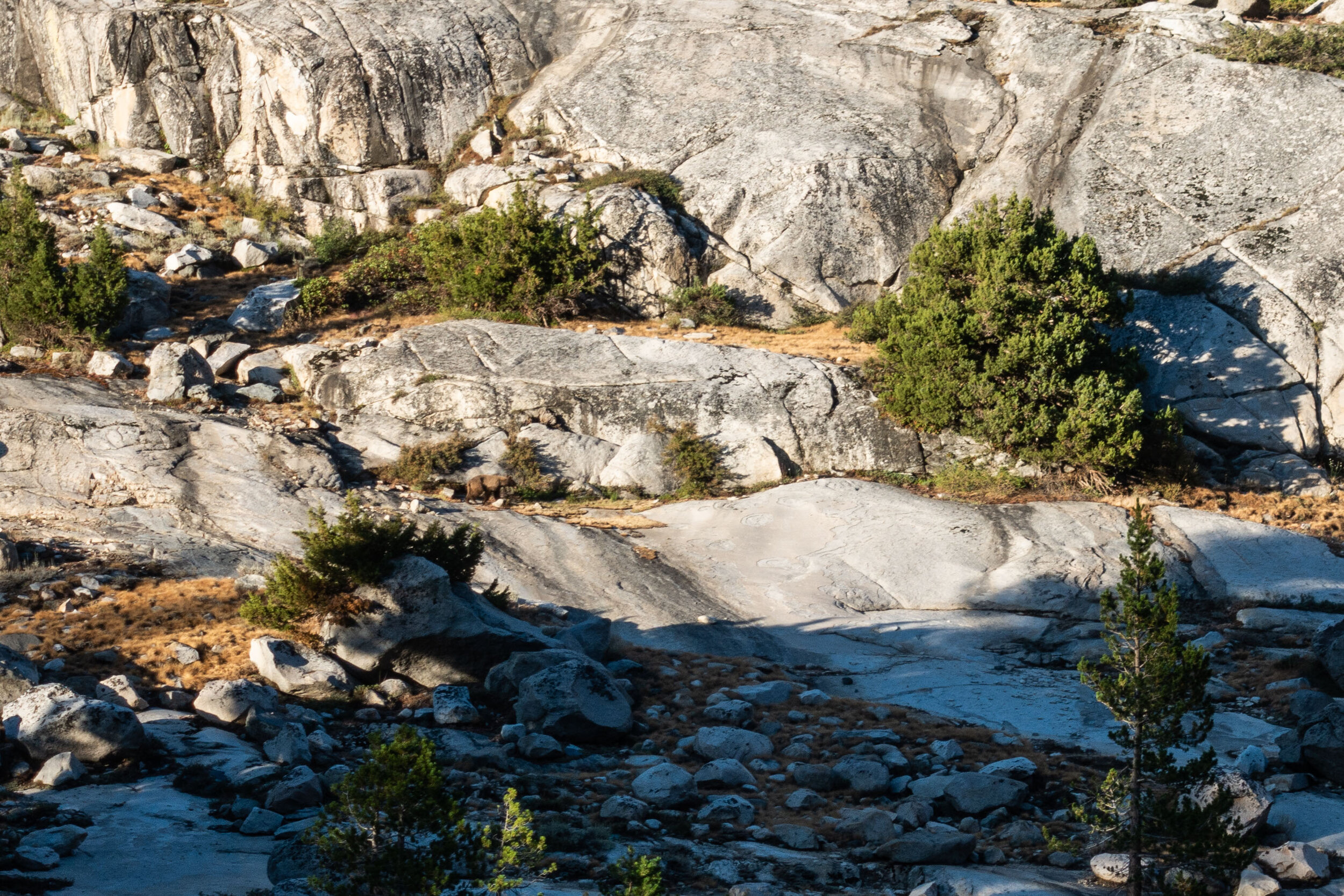
It was only day two, and we already saw a bear. We heard a fellow hiker yelling to scare it away when after it wondered close to the camp. We made it over in time to see as it left the area. It crossed over a creek and headed to the other side of the lake. The bear is hard to spot in this picture, its half way up from the bottom of the frame, slightly to the left.
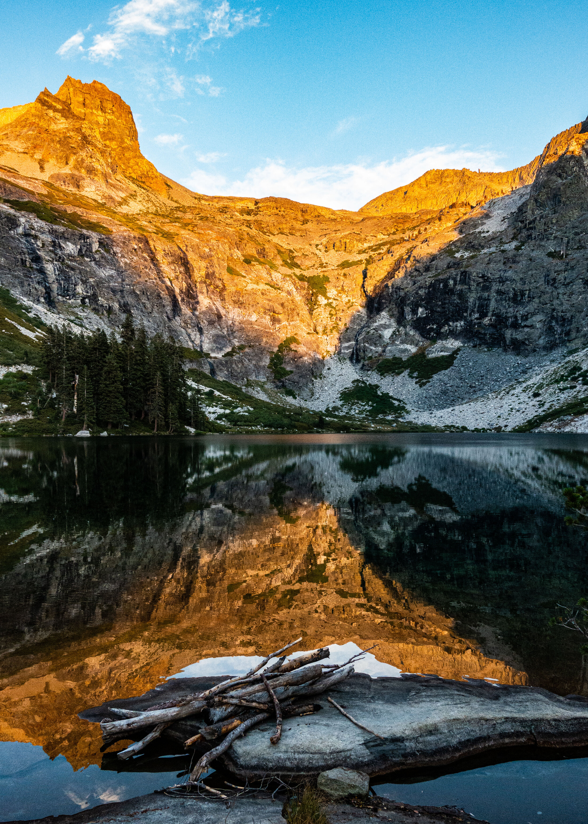
Watching the last rays of sun light up the rim across the lake.
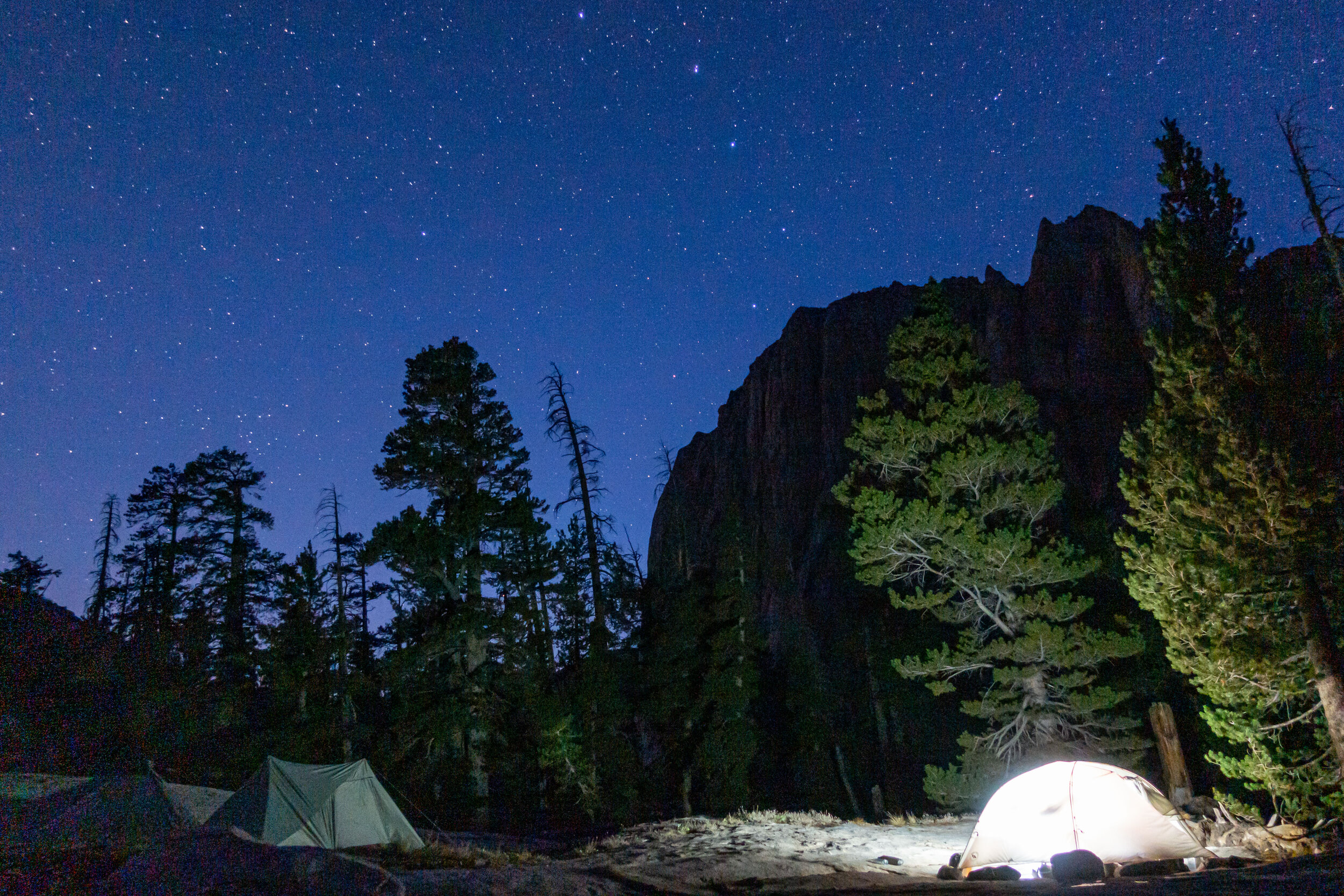
Mike and I stayed up late talking and watching the night sky. The Milky Way, Saturn, and Jupiter were prominently visible. We couldn’t stay up too long however, I knew that the next day would be one of the harder ones, it would start with a 2,000’ ascent up to Precipice lake. I wouldn’t get much sleep because the high winds from earlier that day came back in full force around 1 am. The thrashing of my tent in the wind made it difficult to get any rest.
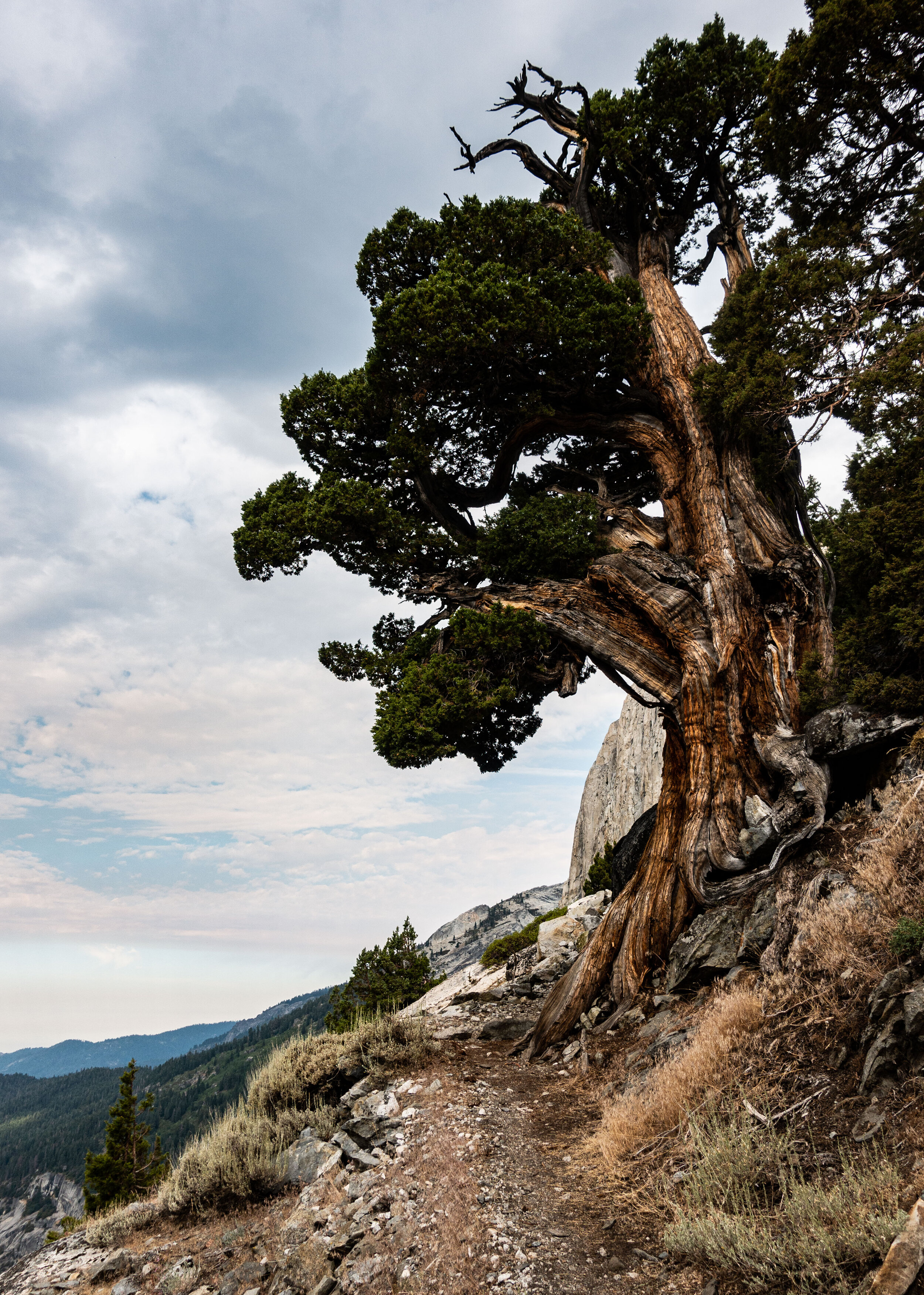
The next day was even harder than I thought it would be. I still wasn’t adjusted to the altitude. The thin air made each step exhausting. Since It was only day 3 my pack was still heavy with food and other consumable supplies.
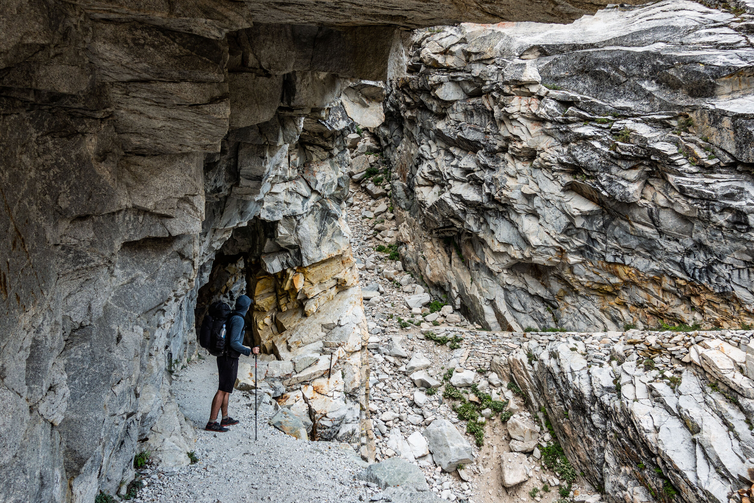
The trail up to Precipice was the most beautiful few miles of trail I’ve ever hiked. Here, the trail cuts right into a side of the cliff, forming a small tunnel.
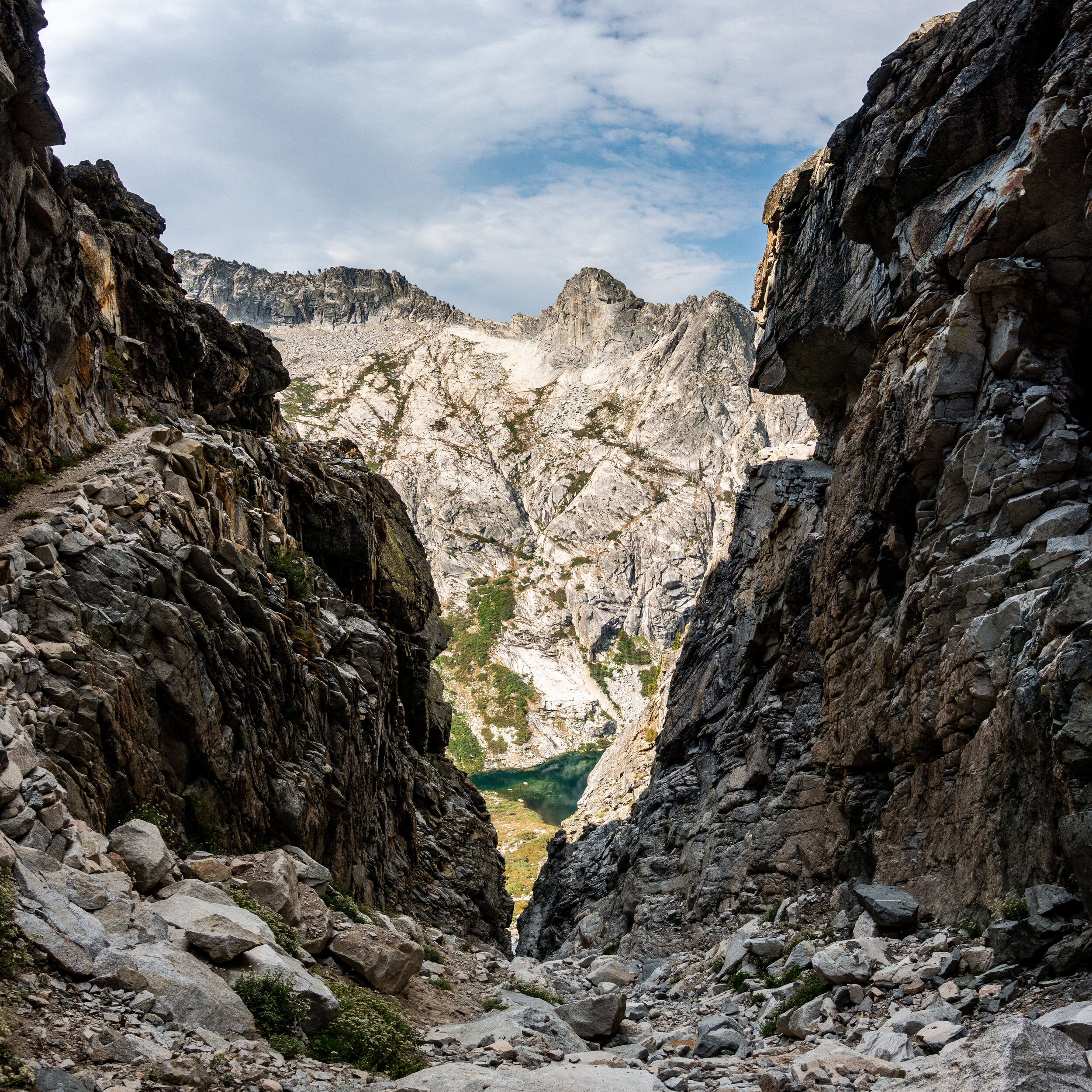
The trail was about 2 or 3 feet wide, next to that was a few hundred foot drop. Here the trail comes through the notch cut out on the right, and loops around back up the mountain on the left.
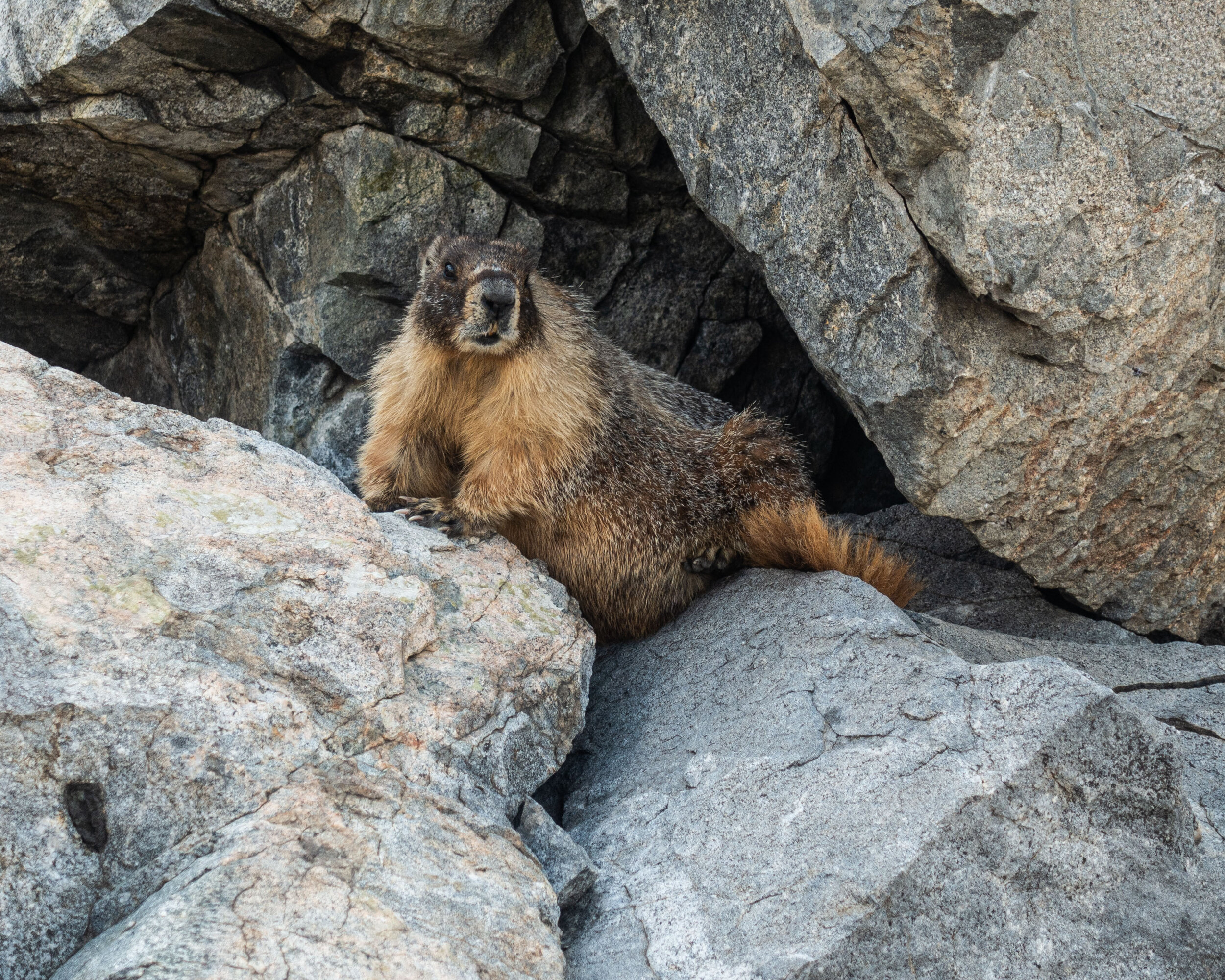
We passed a few resting marmots while making the climb. They didn’t seem to be bothered by us as we walked by.
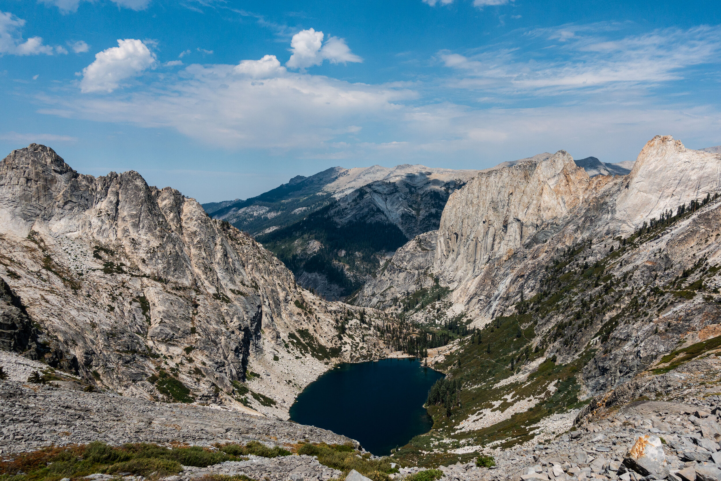
The climb was worth the effort. I was beat at this point. It took a few hours to make it this far, and since it was most of the time was spent going up, seeing the lake where we started made it felt like we hardly went anywhere.
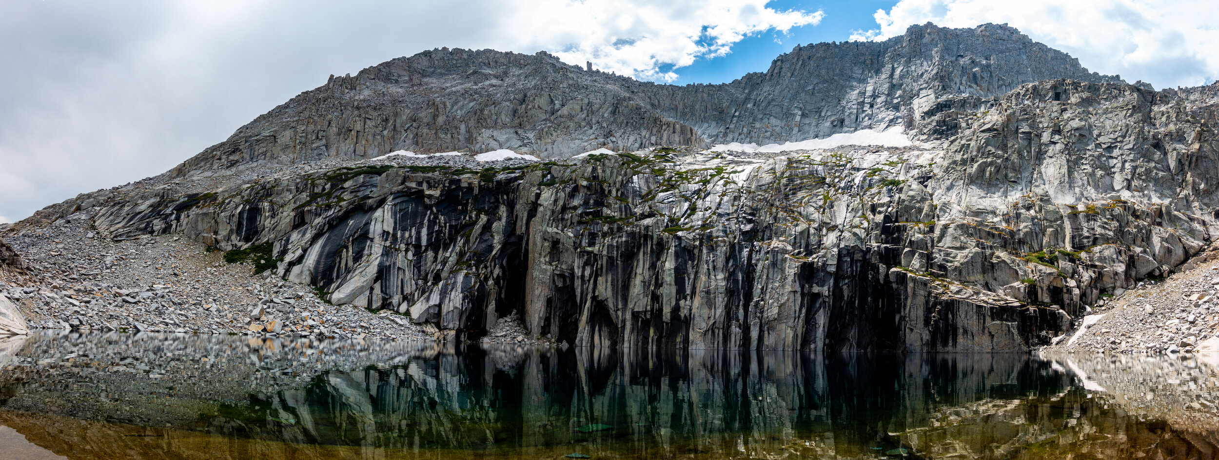
We finally made it up to Precipice. The melting snow that’s filling the lake with deep blue water is visible up on the side of the slope. Precipice would become one of my favorite sites along the HST, and we had the whole place to ourselves. All we could hear was the sound of the snow melt flowing down the granite rock face above the lake.
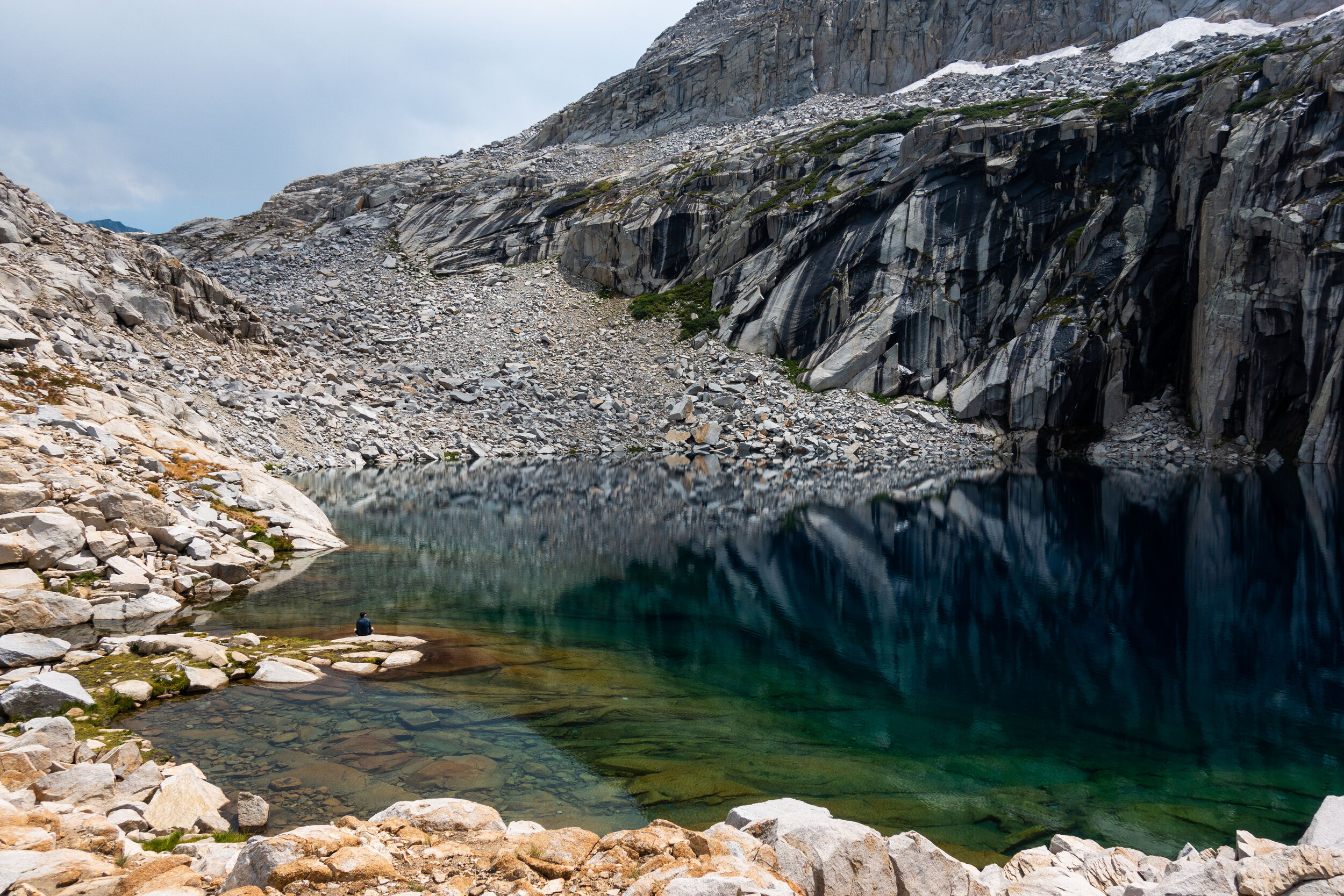
We hung around the lake for over an hour. Mike is in the lower right of this photo.
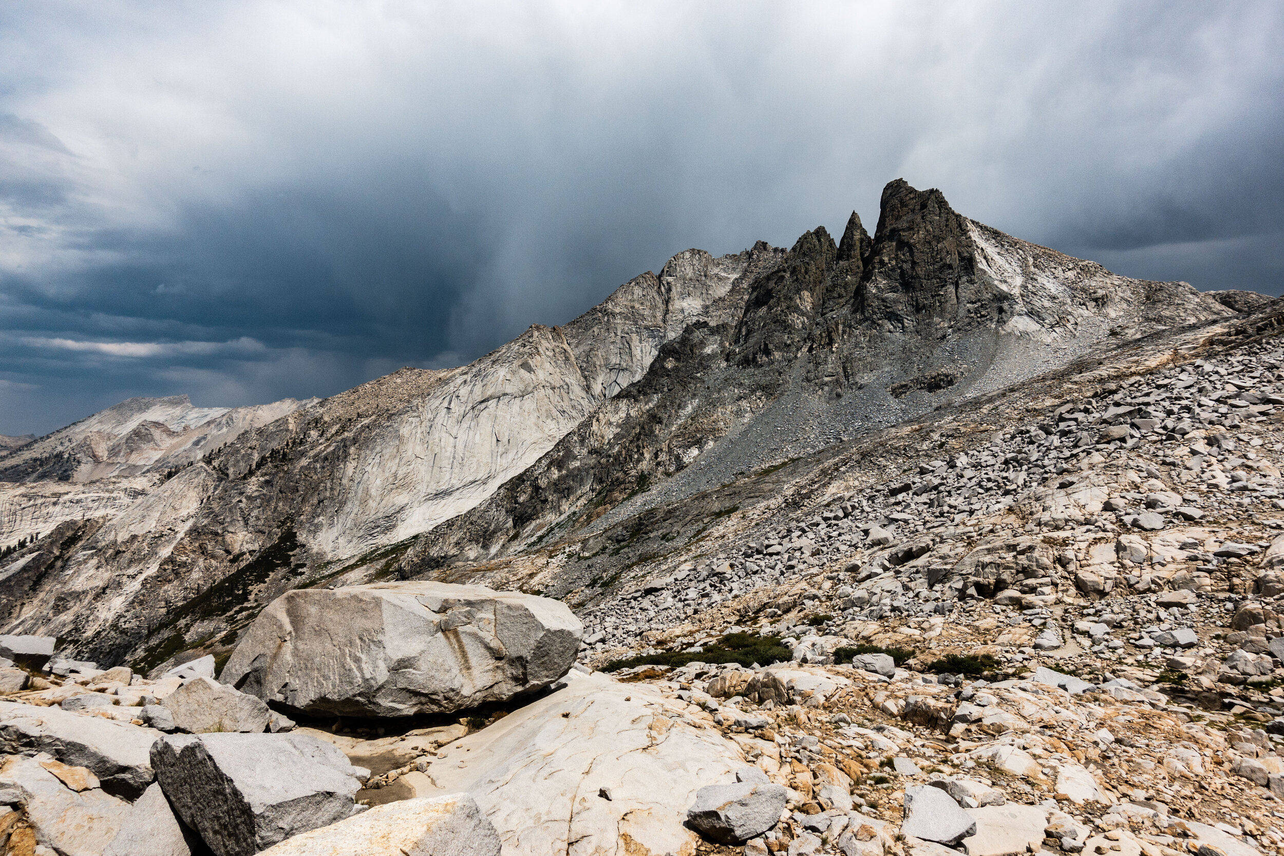
Occasionally we were hearing the distant rumbling of thunder echoing through the mountains. Thunderstorms are common in the Sierras, and isolated storms are scattered throughout the mountains nearly every afternoon. They only passed over us a few times. It was more common for us to have steady drizzle than serious rain.
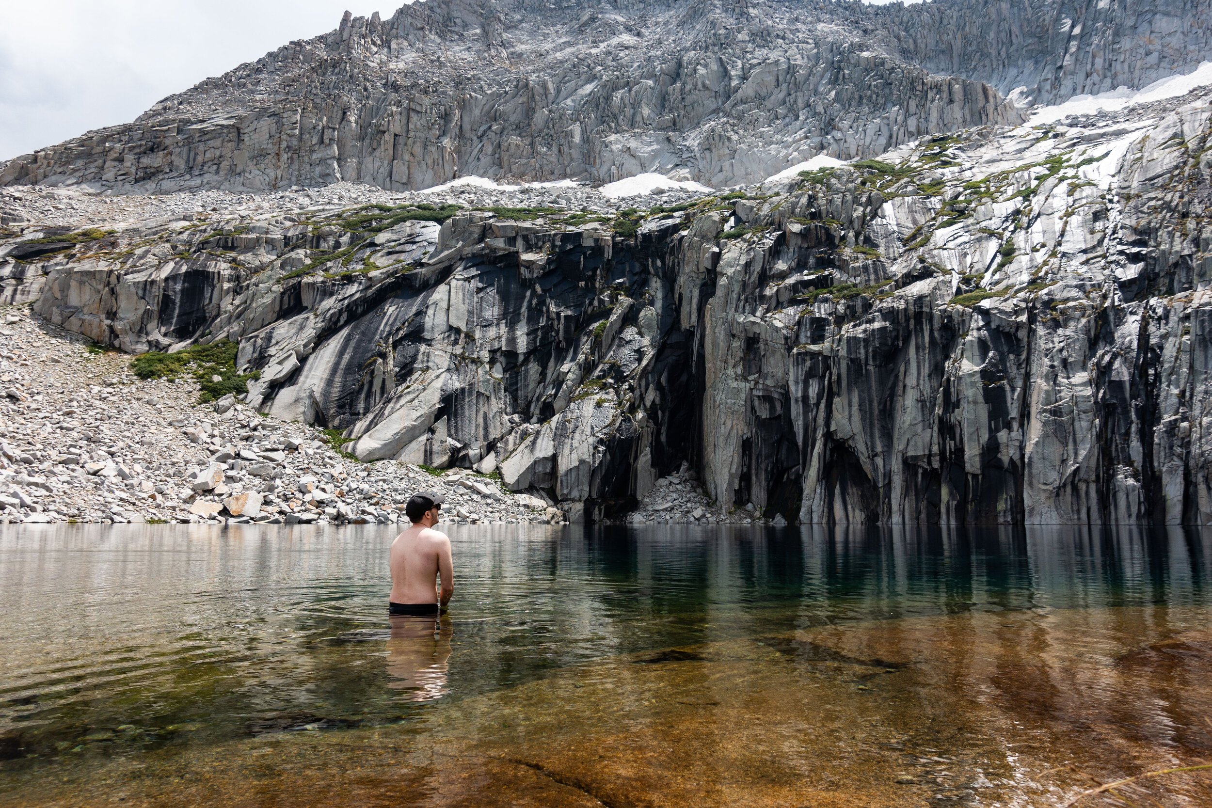
Mike decided to take a swim in the lake. Since the water came from snow melt, it was freezing. I went in up to my knees and could barely feel my toes after a few minutes.
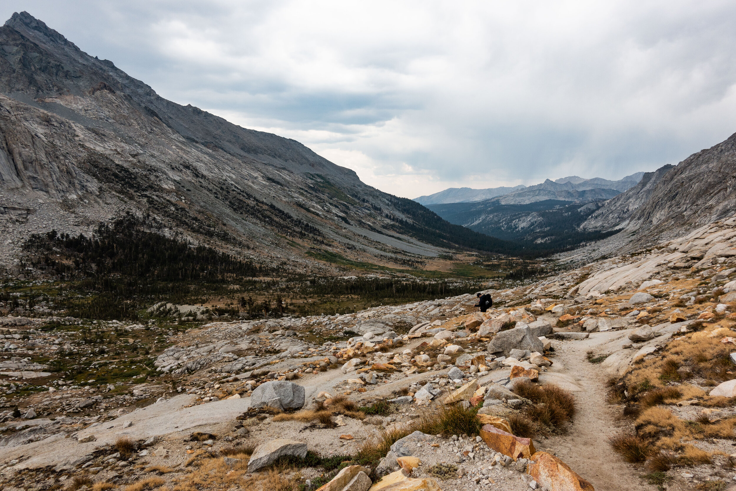
After Precipice we started our way down the Kaweah Gap, part of the Great Western Divide. The hardest part of the day was over. Although we still had many miles to cover, it would mostly be downhill. We were on our way to a campsite next to a creek called the Big Arroyo. By this time it has started to drizzle again.
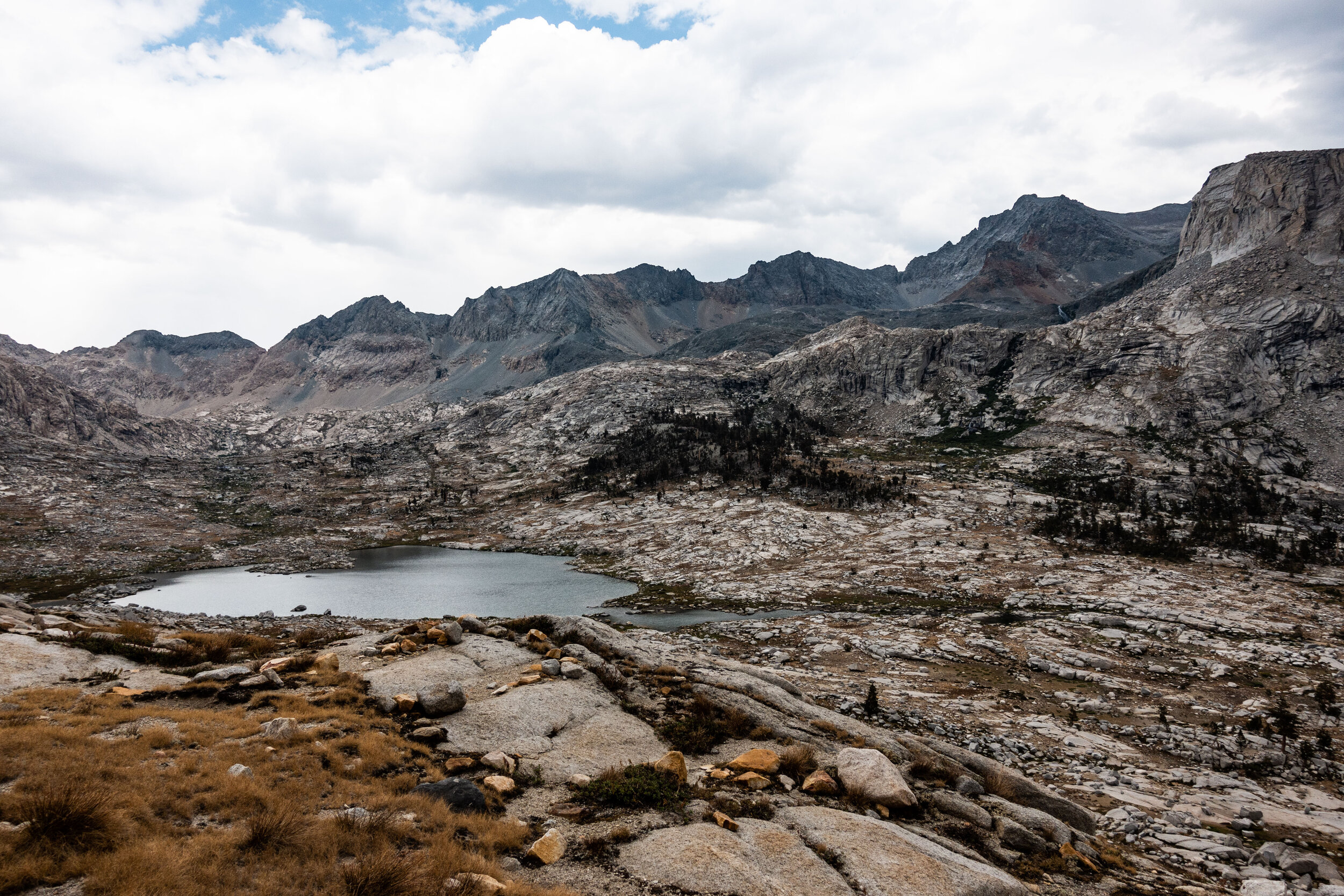
This lake was feeding the Big Arroyo, our destination for the night. The Big Arroyo eventually flows into the Kern River. We would be camping along the Kern in a few days from now.
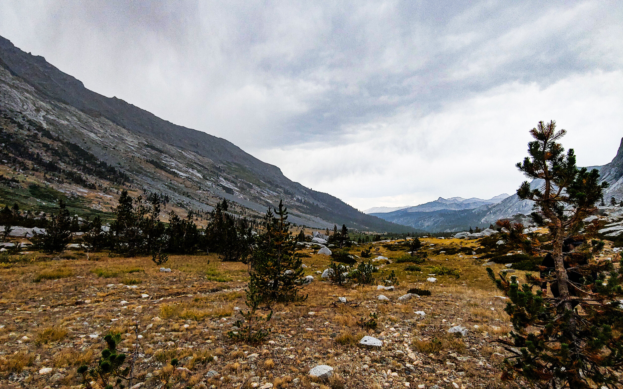
I started to realize that every few miles the HST would offer us a completely different landscape and ecosystem. Kaweah was radically different from the environment west of Precipice and Big Hamilton. And now just a mile or so down from Kaweah was different yet again. Now we found ourselves in open landscape of isolated pine trees.
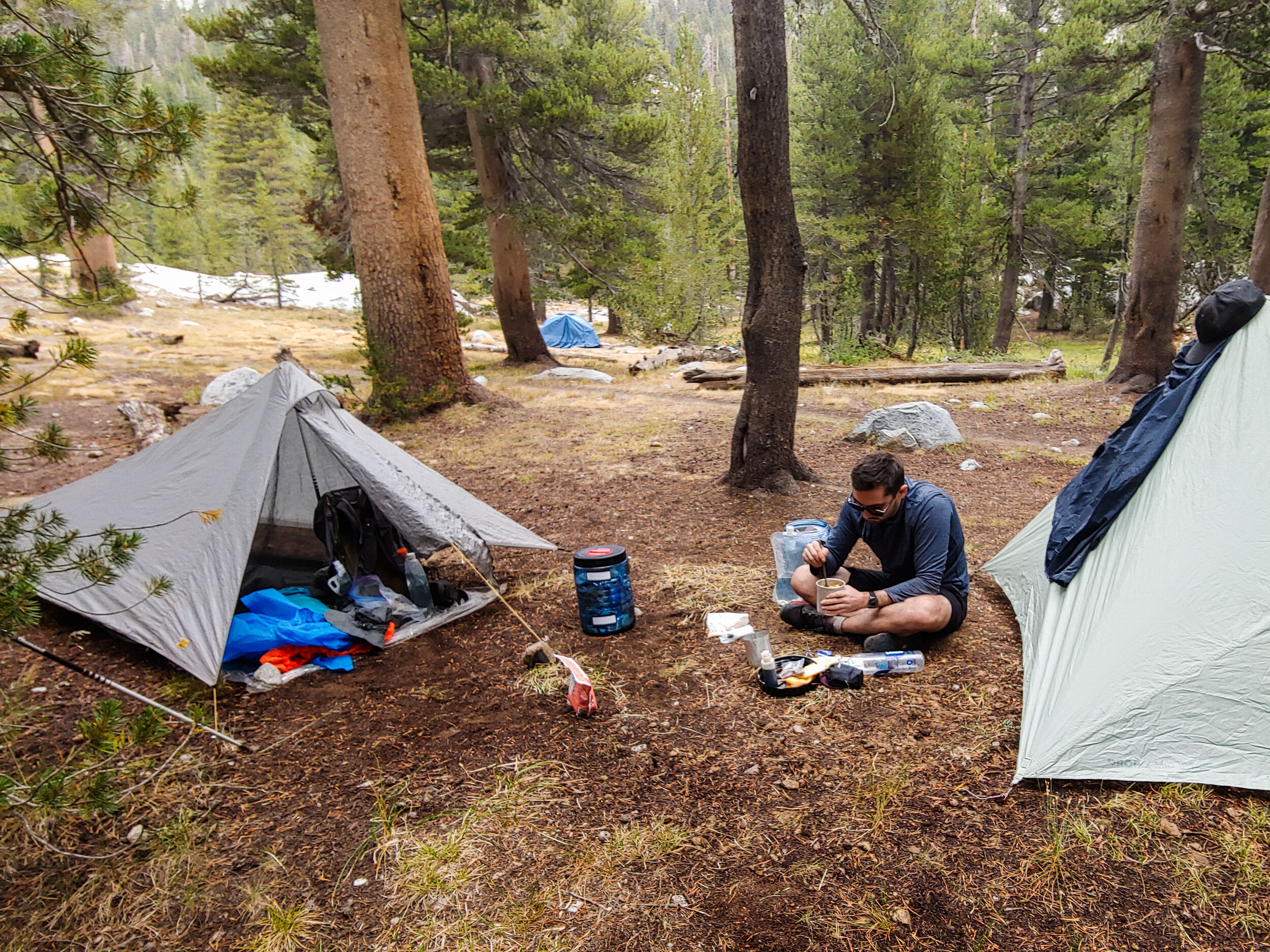
It was a very long and day, but I could honestly say those miles from Hamilton to Big Arroyo was some of the best hiking I’ve ever done in my life. We pitched our tents and settled in at the campsite for the night.
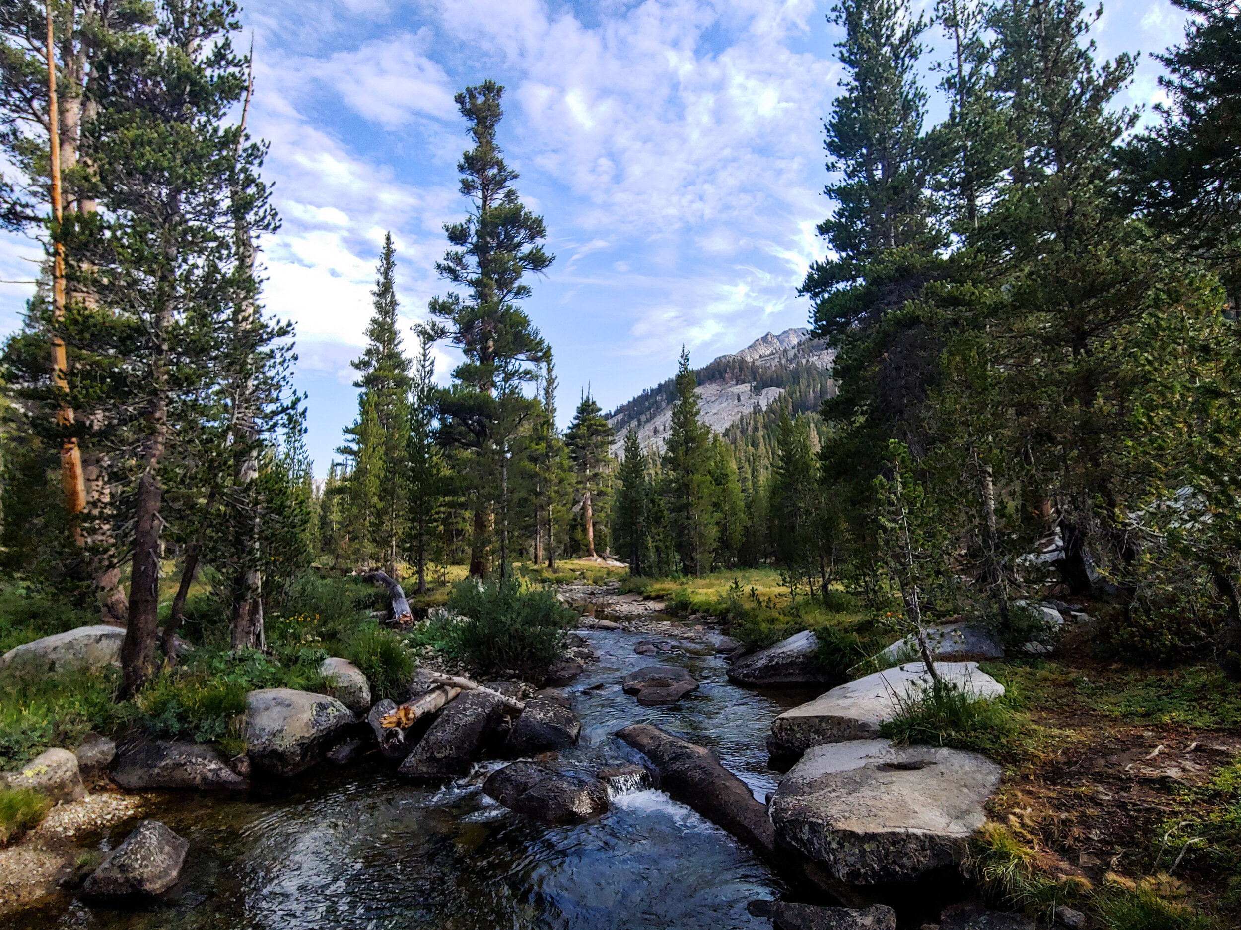
As usual, we were the last ones left at camp and took our time to get back on the trail. We altered our plans, however. Originally the morning after Big Arroyo was meant to be a long 14-mile hike to Kern River Hot springs, but another thru-hiker let us know that half way to Kern was Moraine Lake. It was off the main HST trail, but it seemed like it would be a good idea to split the long day into two shorter days to check out this lake.
The morning’s hike started with a 1,200’ climb. I felt stronger though, my body was finally adjusting to the elevation. It only took 4 days…
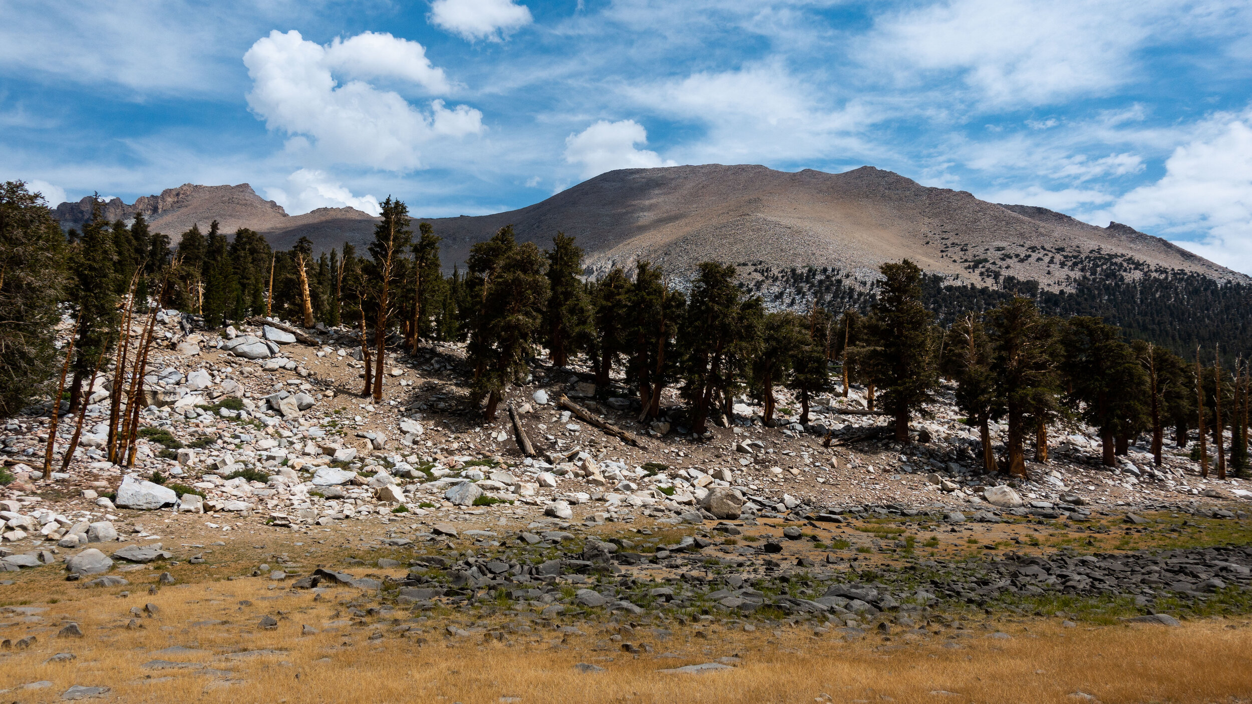
The hike to Moraine Lake was considerably easier than the last few days. Most of the time was spent in pine forest and meadows.
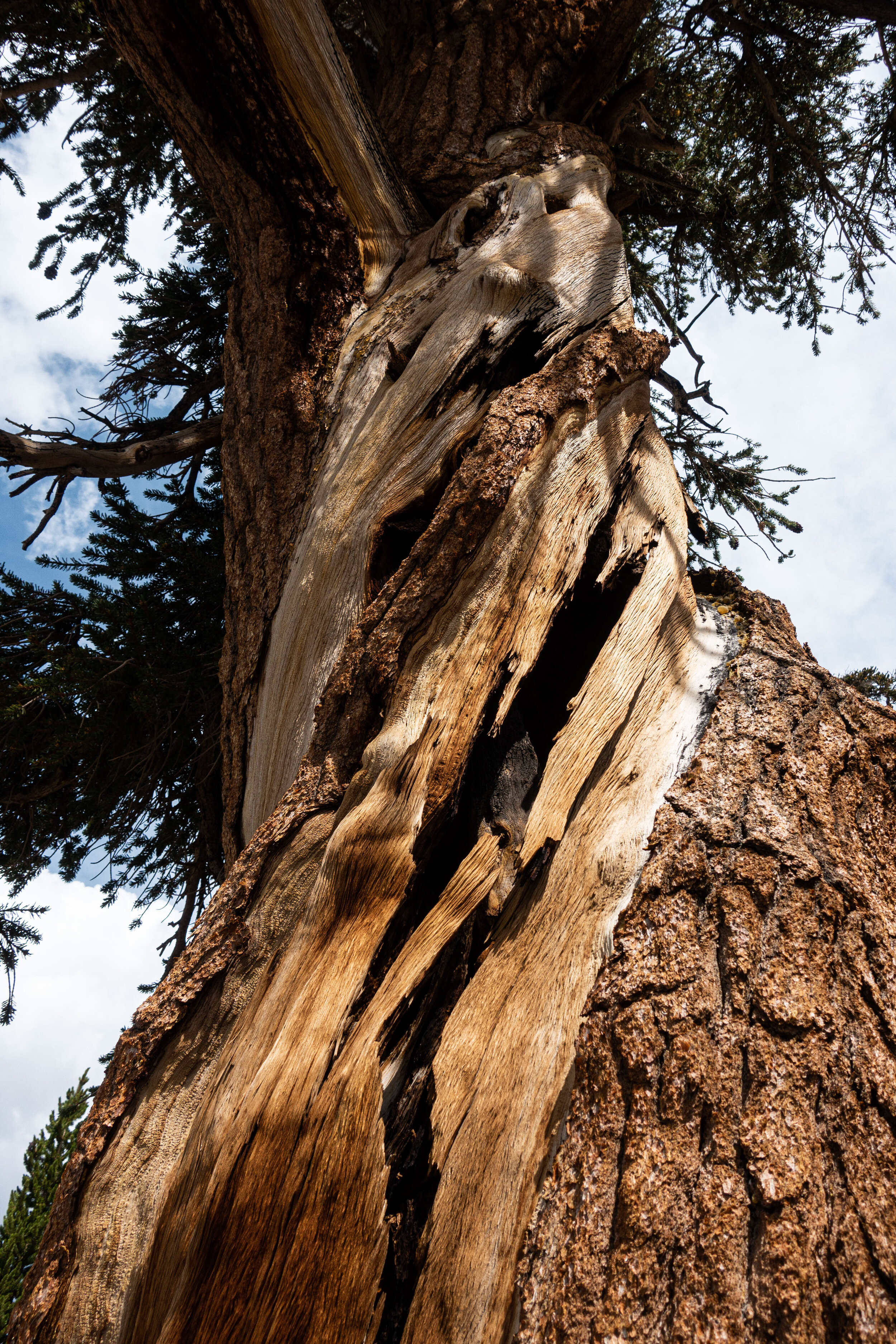
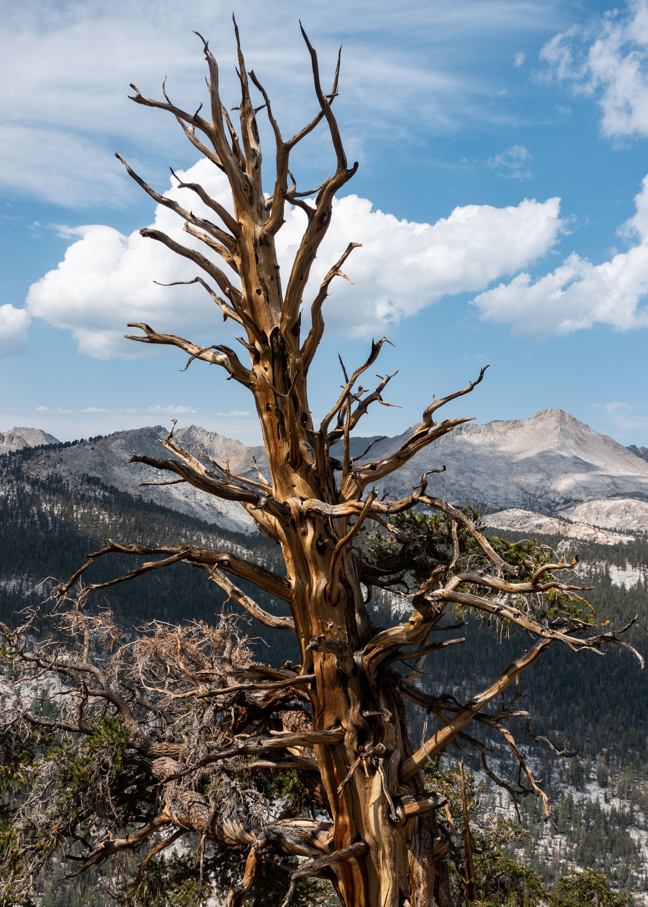
One of my favorite parts about being in the Sierras were the unusual trees. From the wild and twisted forms of the bristlecones pines, the scaly primeval looking bark of the ponderosa pines, and the humbling size of the giant sequoias, every tree was awe-inspiring. Far removed from the broad-leaved forest back home.
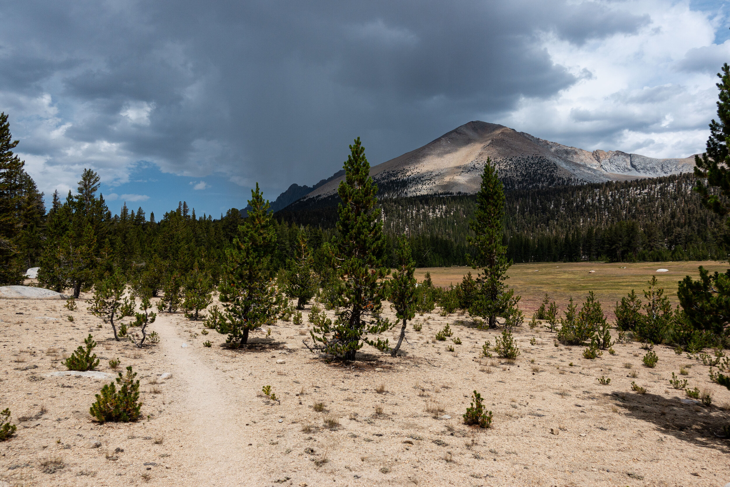
Unexpectedly found ourselves hiking a sandy stretch of trail. The HST continued to surprise us. We were only two miles from the lake now, we would reach it by around 1 pm.
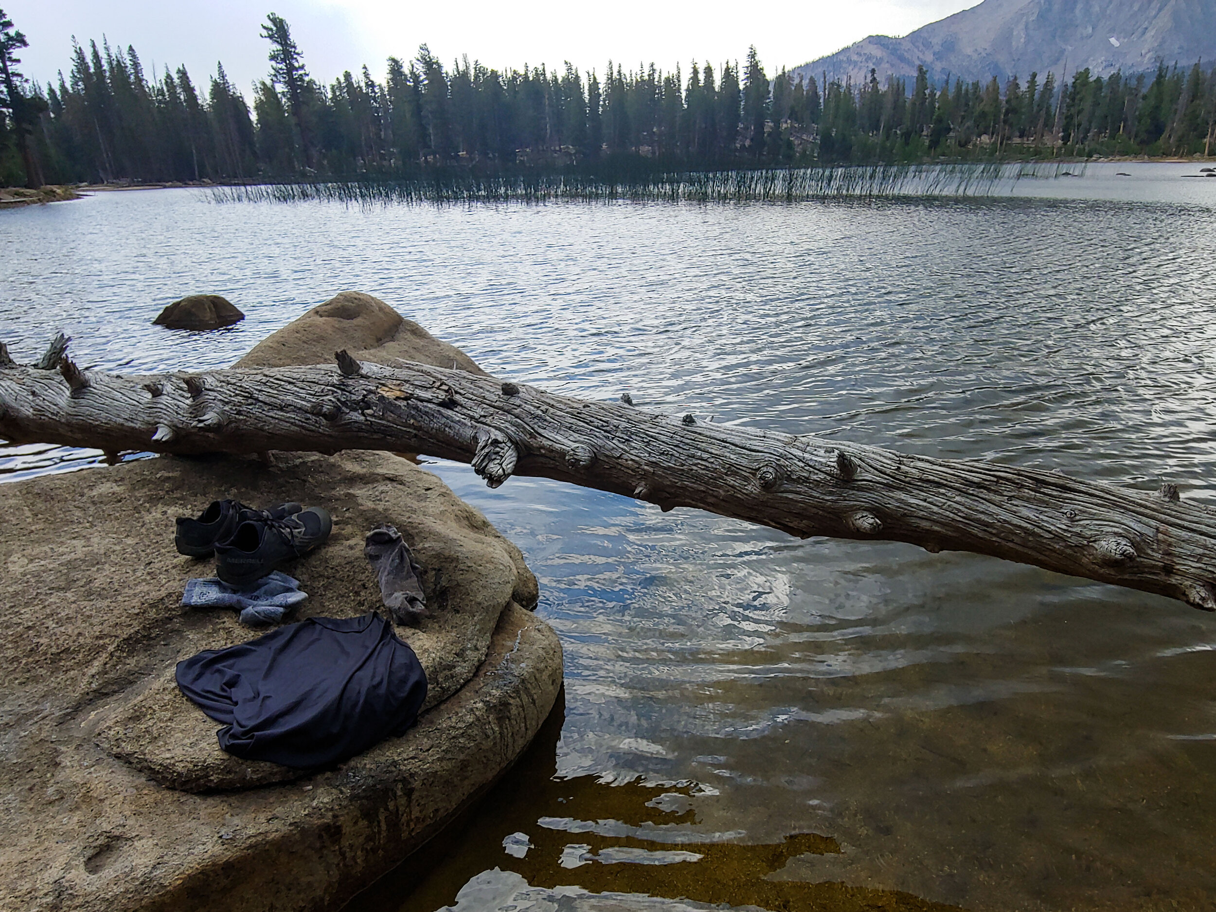
After setting up camp, I took advantage of the fresh water of the mountain lake to rinse off my clothes. It felt great to finally put on a fresh pair of clothes after 4 days of hiking.
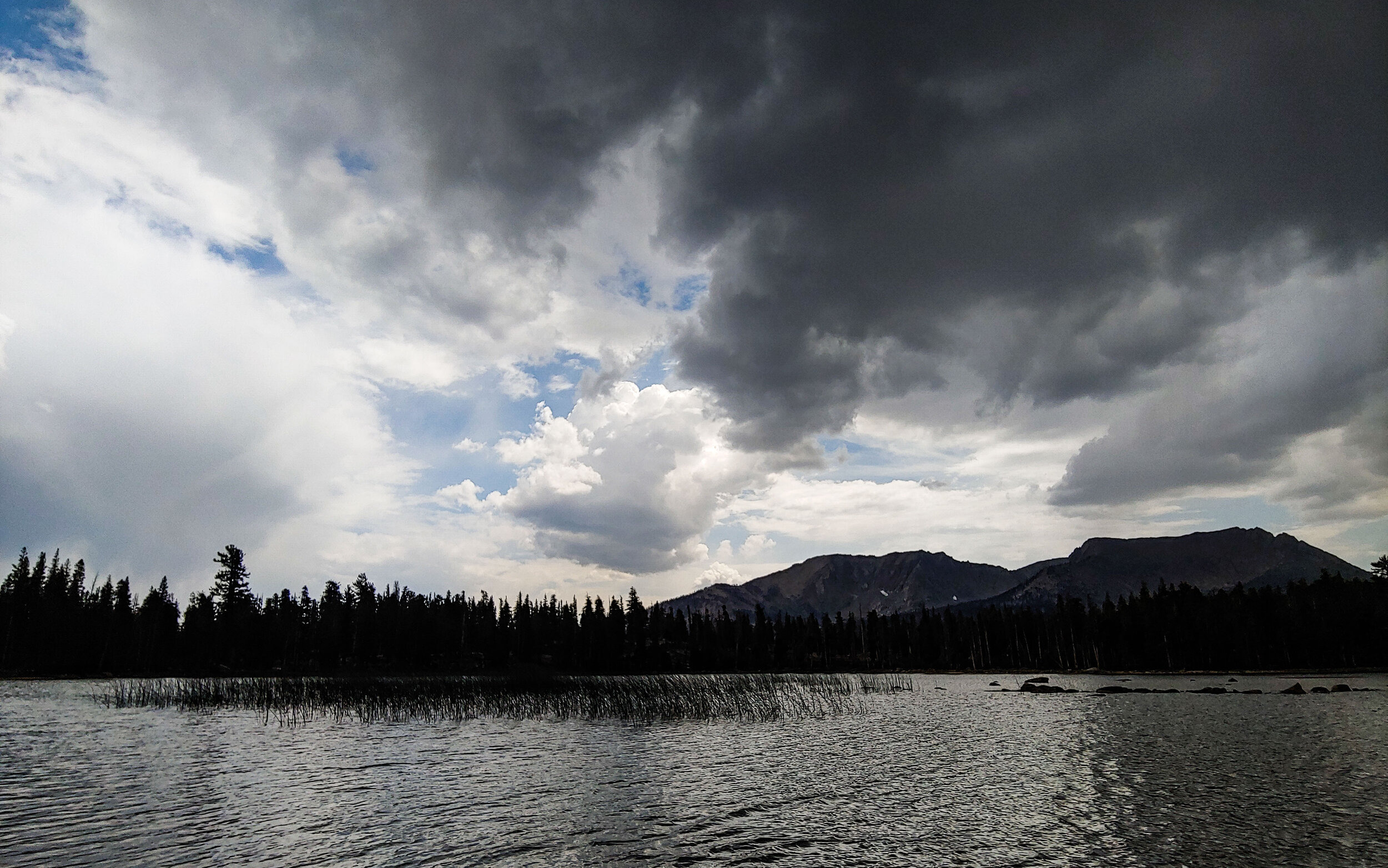
About an hour or so after we made it to the lake it started to rain and thunder. This was a the heaviest rain we saw yet.
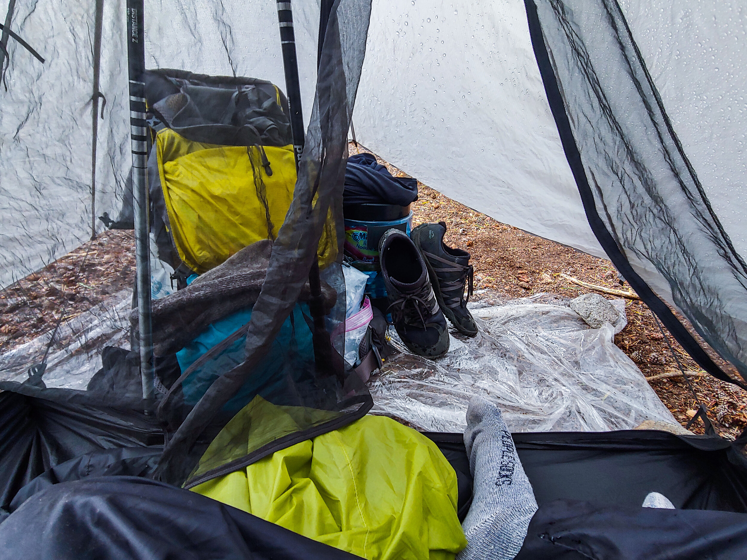
The rain lasted for hours. Everyone at camp retreated to the safety of their tents to wait out the storm. Almost as soon as the rain started to let up, another storm cloud would roll over and last another hour or so. I relaxed, napped, and even made dinner inside my tent. All while listening to the rain drops land on my tent.
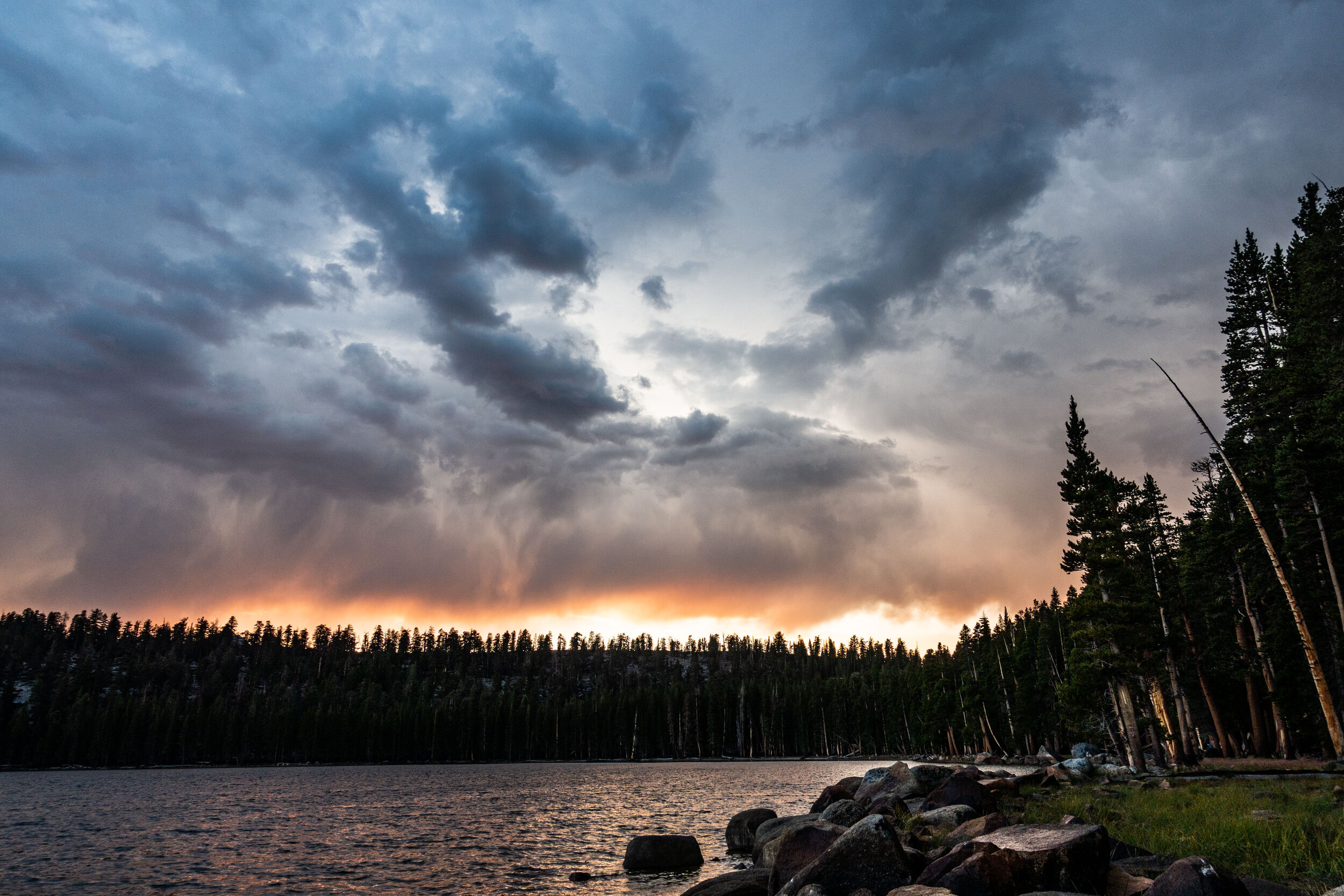
Finally, just before dark, the rain stopped. As we emerged from our tents we were greeted with a beautiful sky and setting sun.
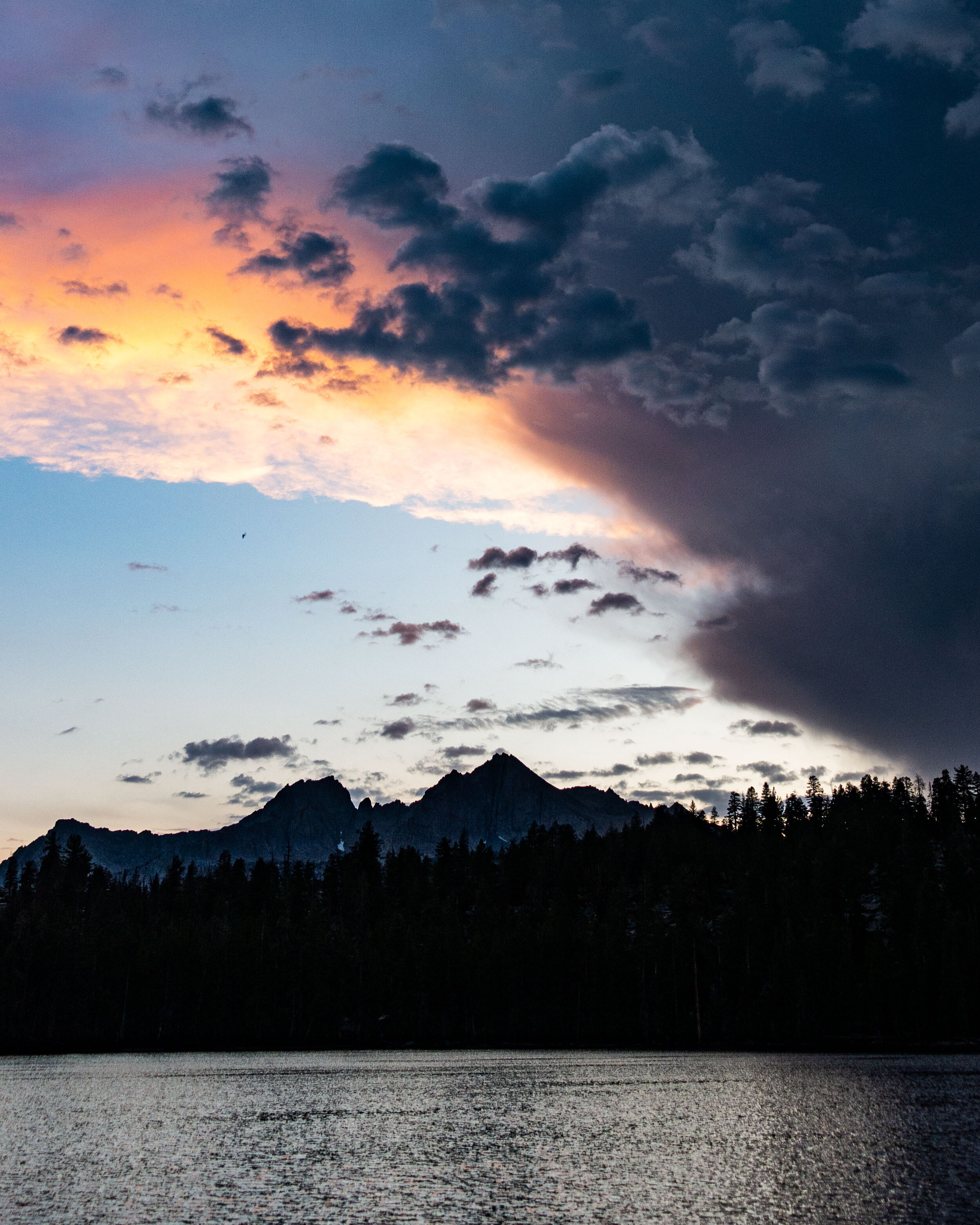
The fading storm clouds kept shifting into more and more dramatic shapes and colors.

Waiting for the last bit of light to leave the sky. It was perfectly still and quiet that night.
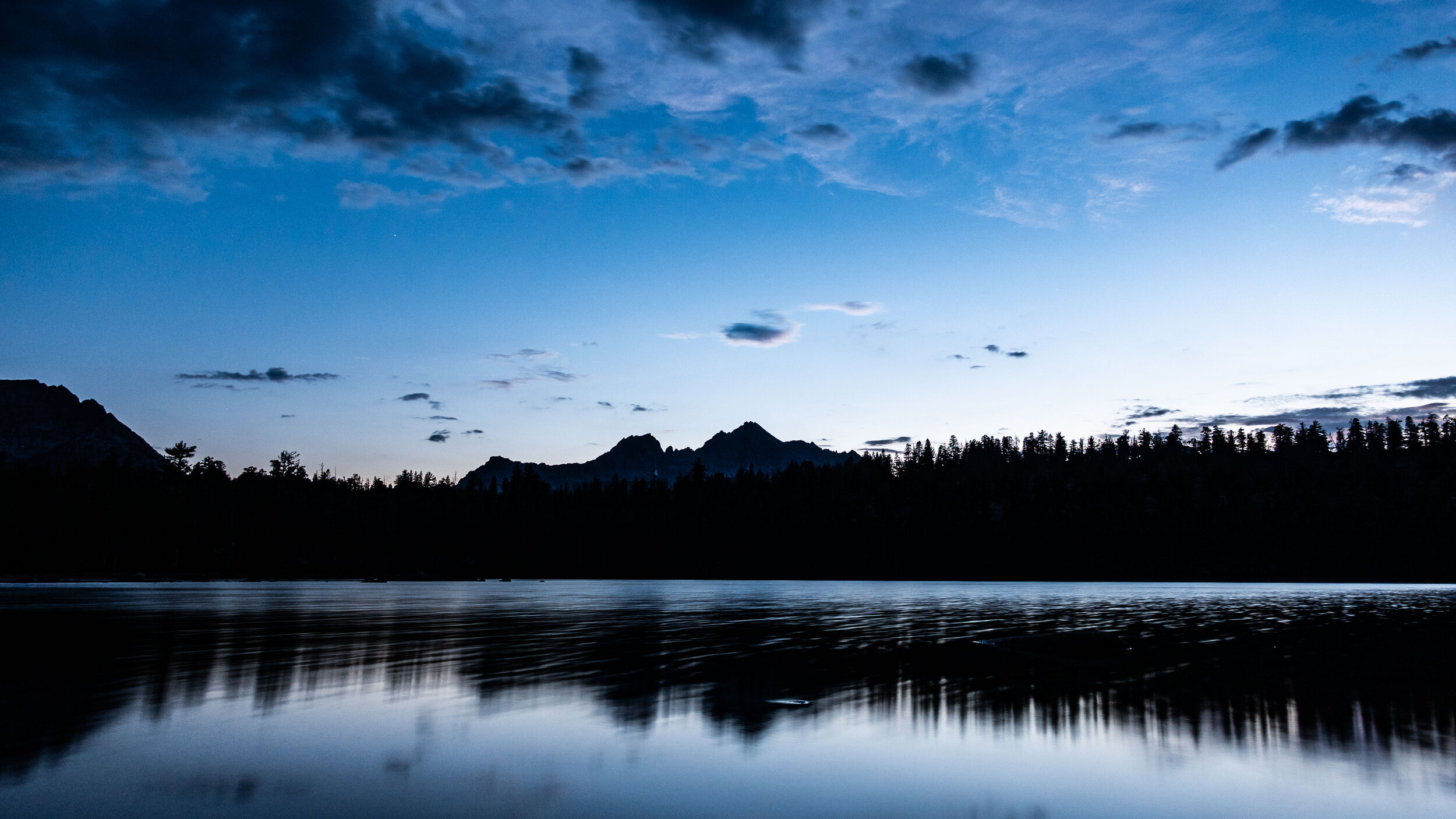
I was so glad we unexpectedly stopped here for the night. The tip our friend gave us was a good one.
(I was sitting on a rock taking these pictures for nearly an hour, but unknown to me a duck was hiding out next to it. I eventually moved just enough to startle it. The duck aggressively quacked at me and took off swimming to the far side of the lake. It scared the crap out of me.)
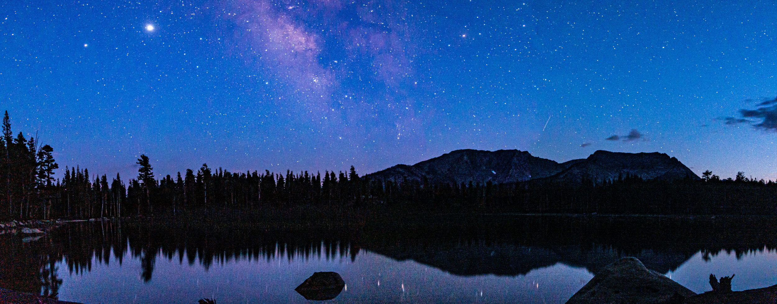
The best view I had of the night sky on the whole trip was at Moraine. All the other hikers had gone to sleep at sunset, so I got to spend a few hours all alone on the shores of the lake, watching the night sky. Nights like these are one of the main reasons I go backpacking. I’ll never forget my night at Moraine.
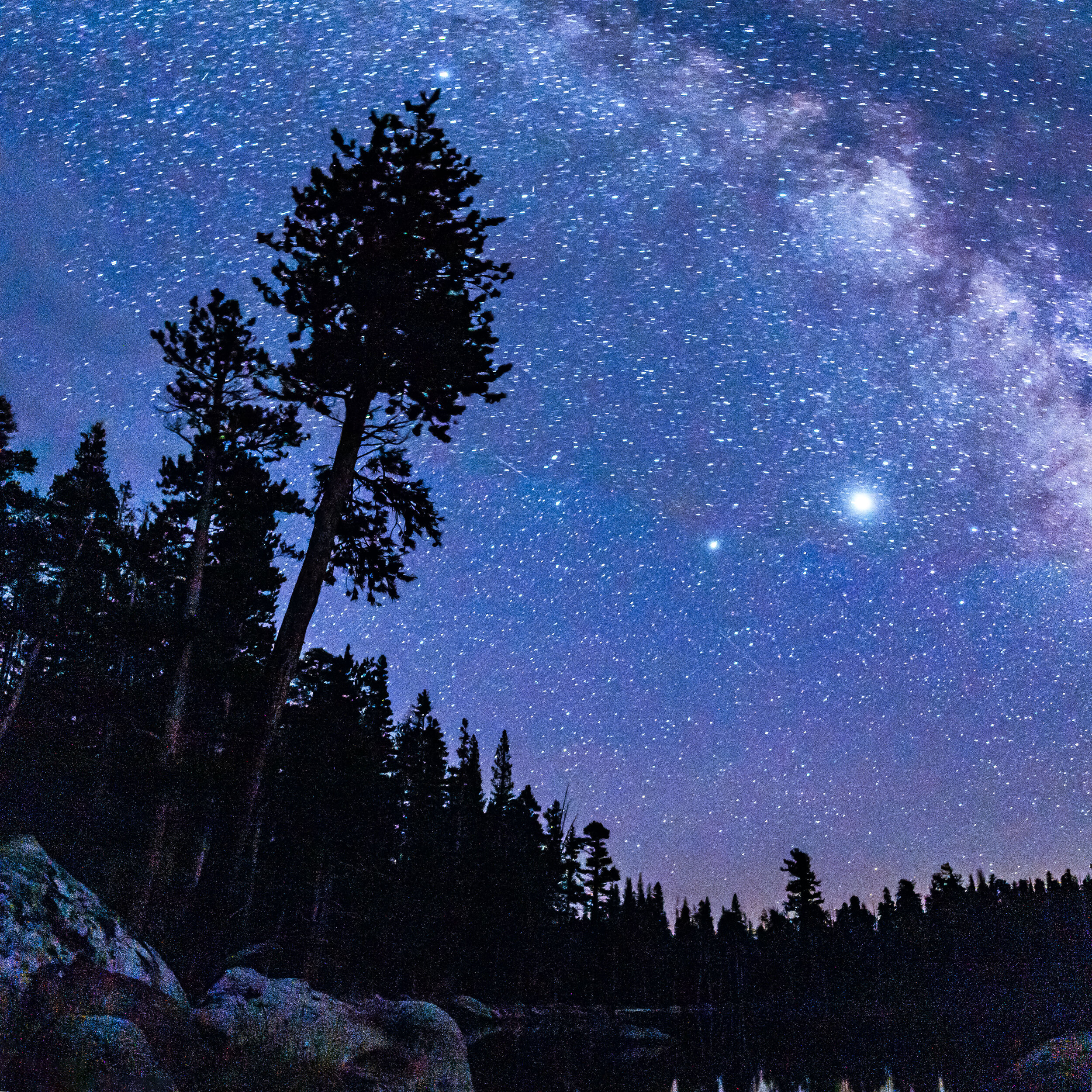
The two brightest stars are actually Saturn and Jupiter. Saturn is the one on the left.
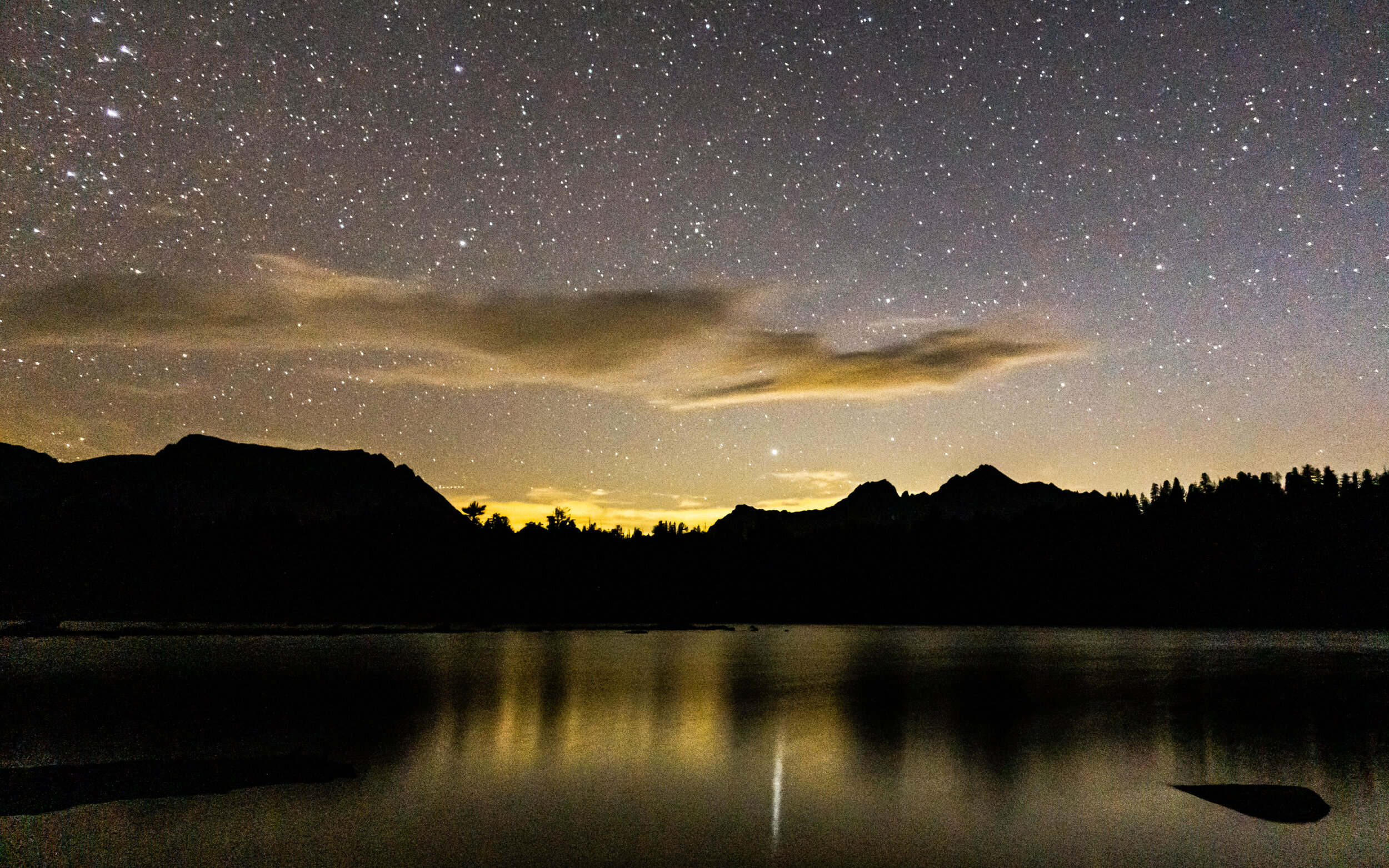
It was hard to pull myself away from the lake that night to go to sleep, but it was time to get some rest. Nights like this are something everyone should have the chance to experience at least once.
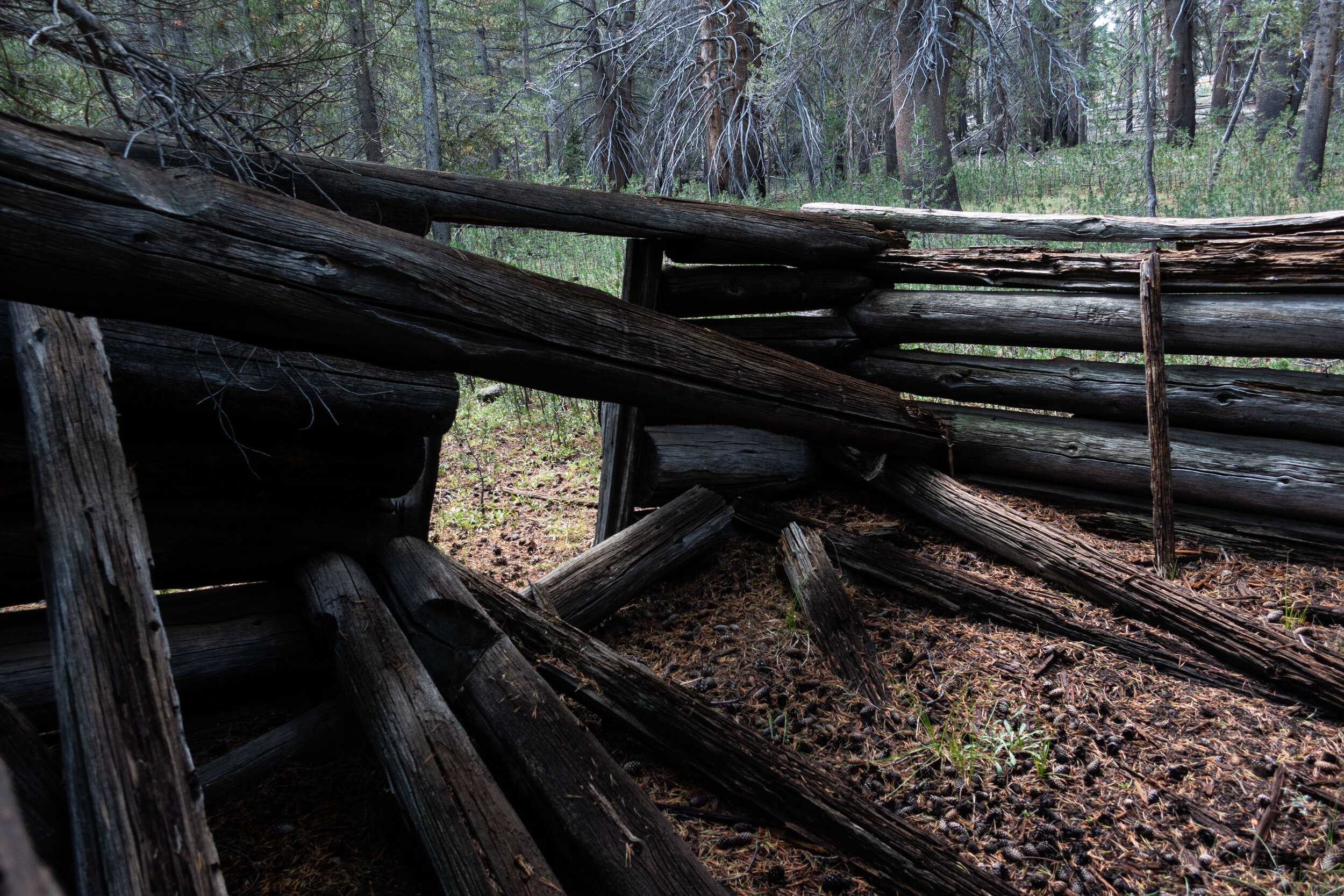
After learning Moraine we stumbled upon the remains of an old cabin not far from the lake. I wonder what this cabin was used for.
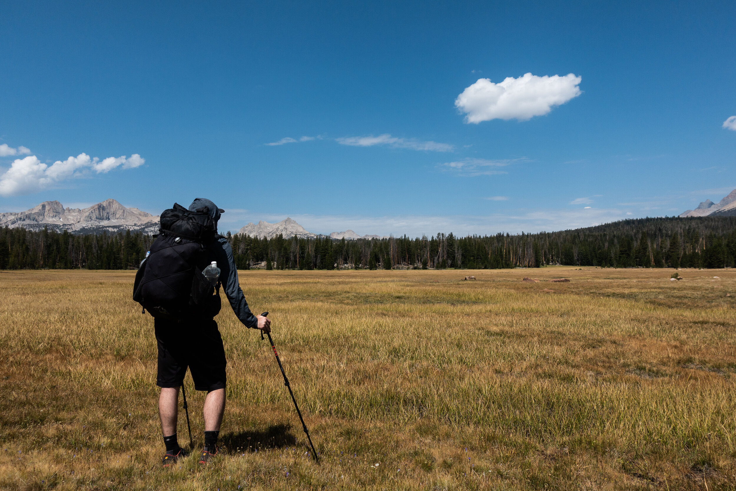
Before rejoining the main HST, we passed by Sky Parlor Meadow.
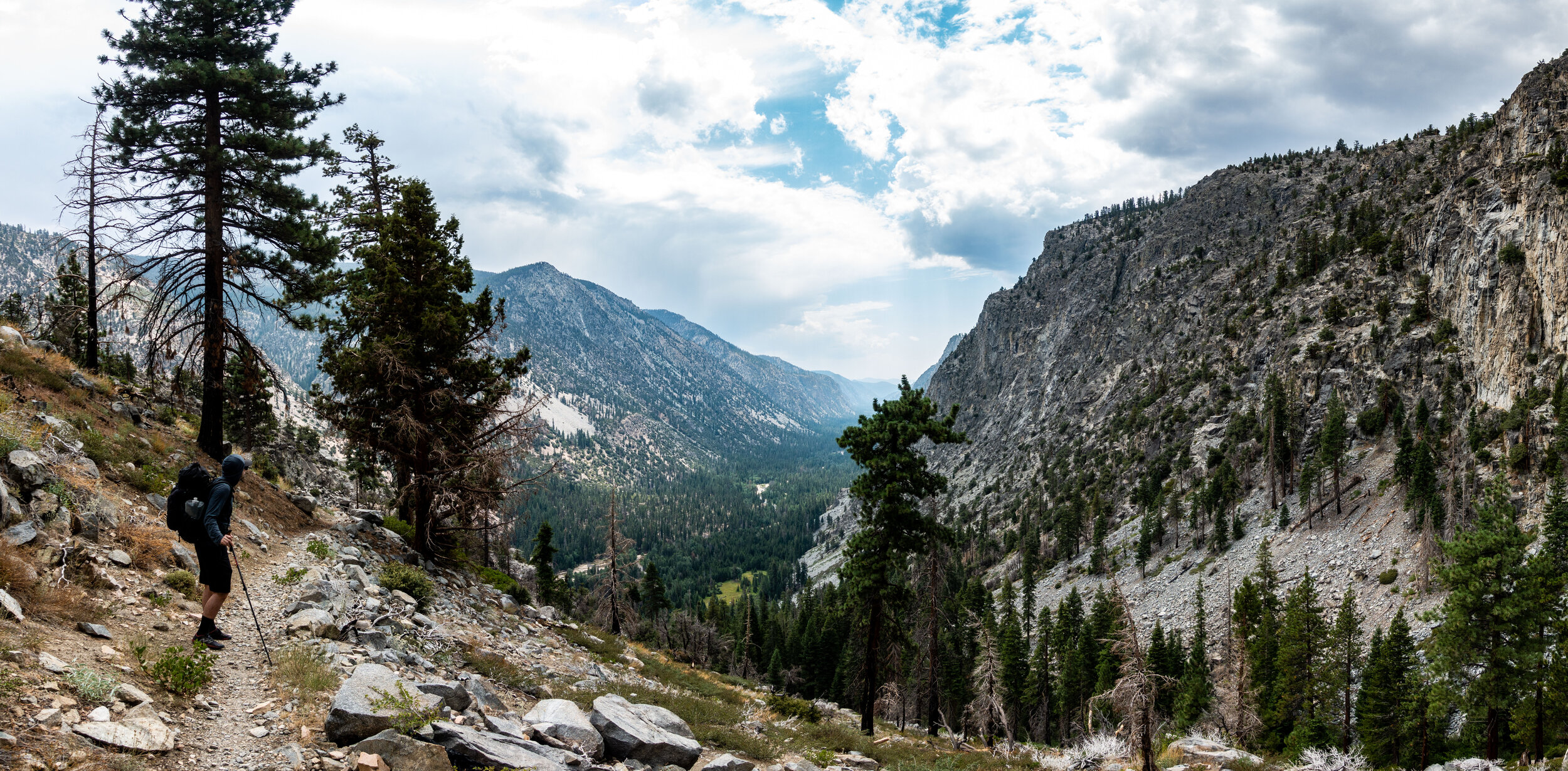
Soon after leaving Moraine we began making the descent down to the Kern River. We would have to make up for the loss in elevation the next day though…
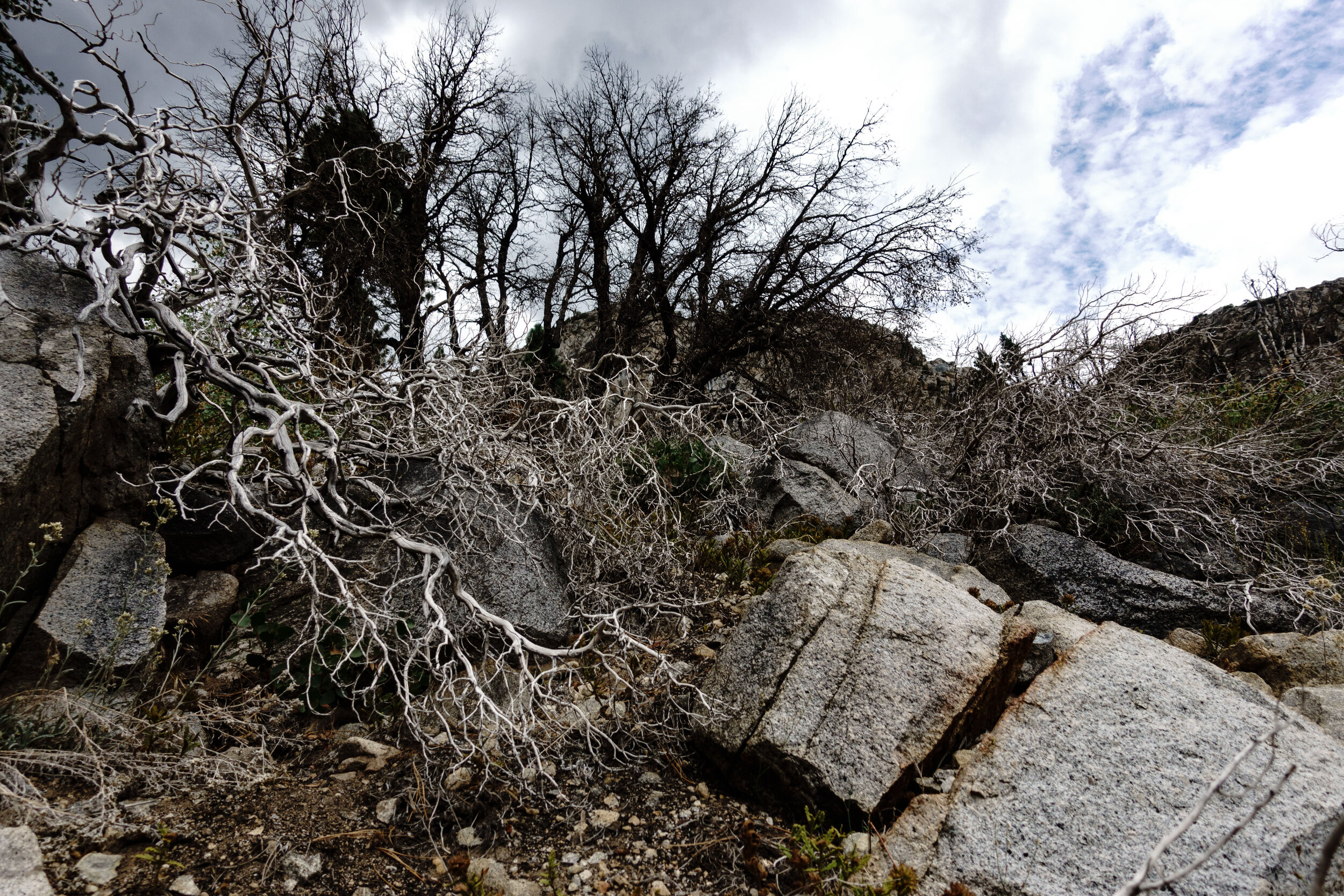
These white shrubs where growing between the rocks over Kern.
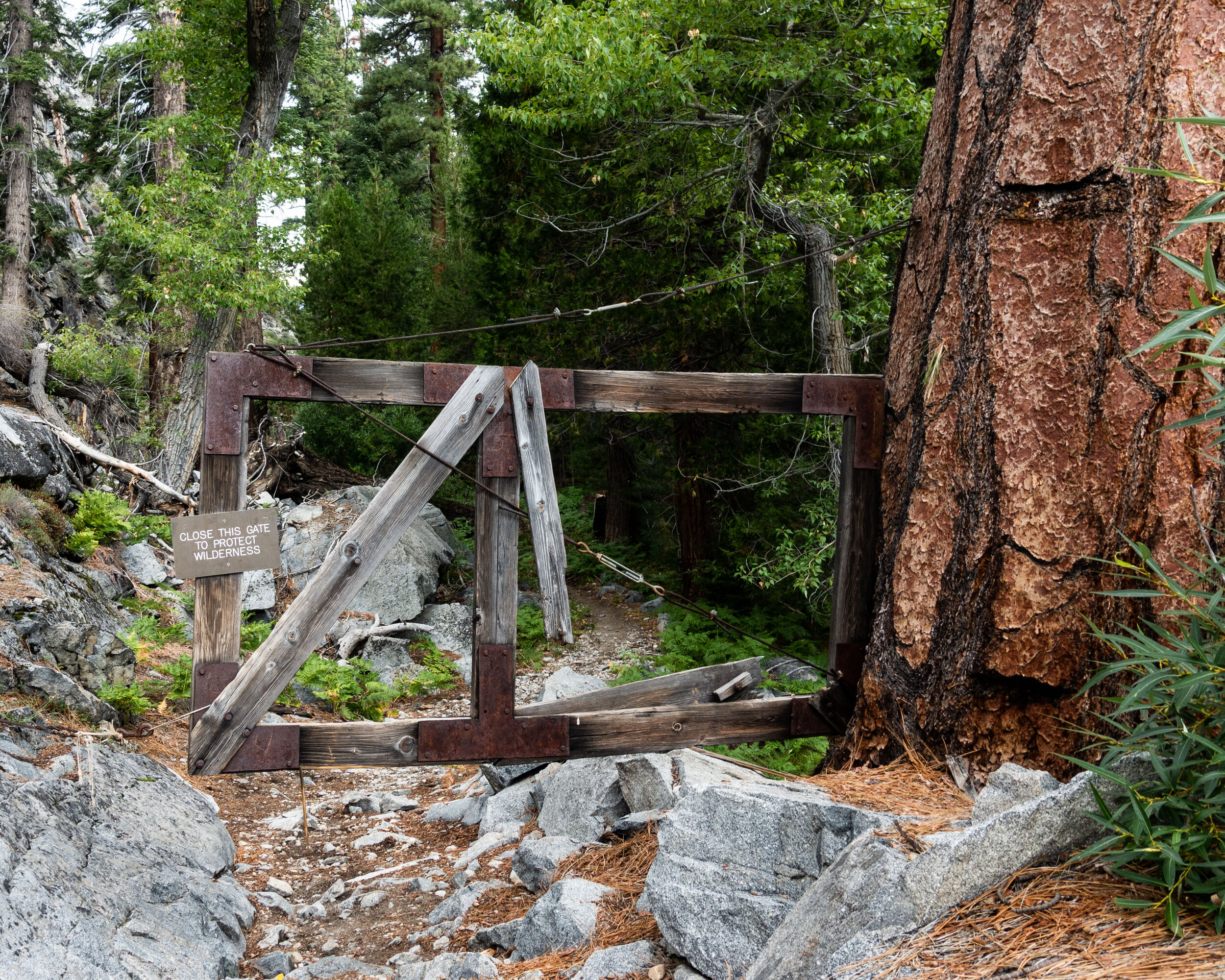
A gate was attached to a large Ponderosa Pine at the bottom of the Kern River Valley. We weren’t sure what its purpose was, but our best guess was that it had something to do with pack animals.
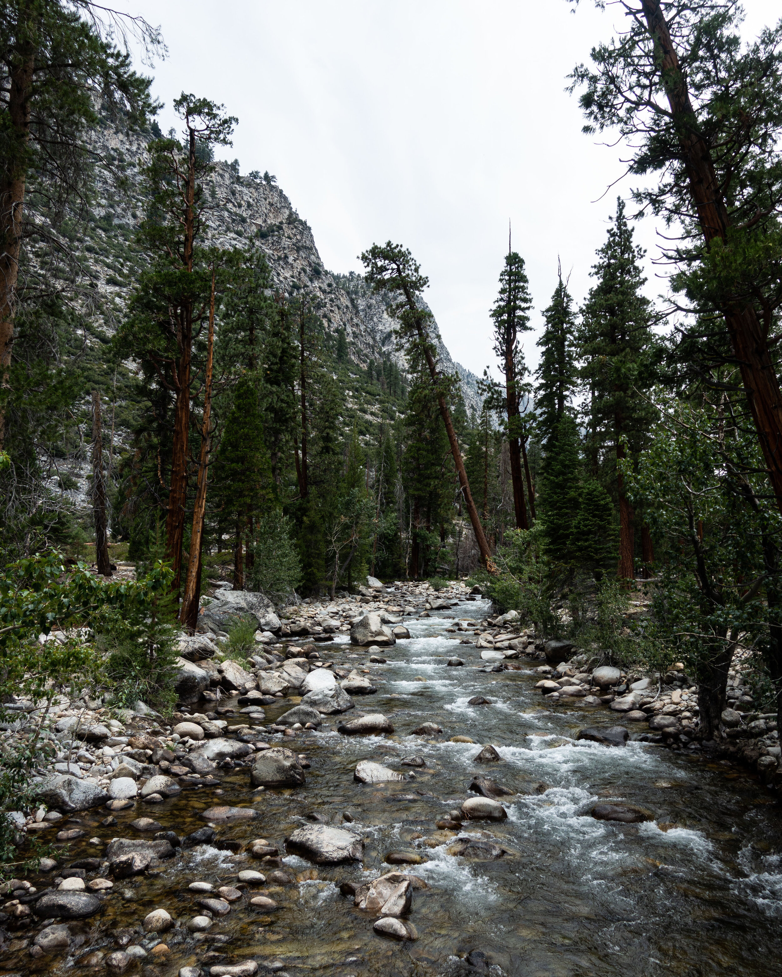
Once we made it to the river it was a nice flat trail to the Kern Hot Springs. It didn’t take us long to reach camp.
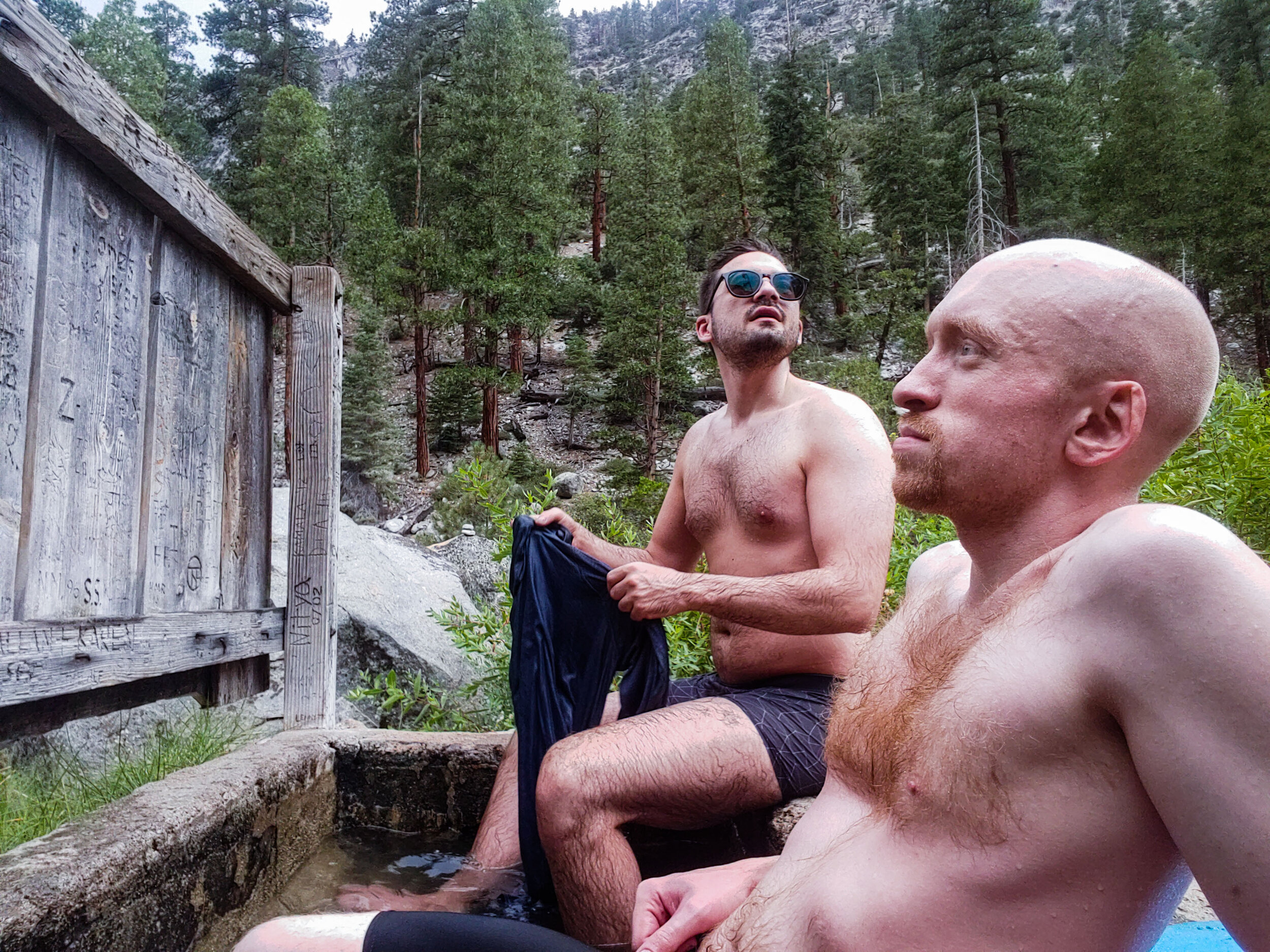
Next to the campsite was a natural hot spring flowing into the Kern River. They built a concrete tub to hold the warm water for bathing. Never before have I had the chance to take a warm bath on a backpacking trip.
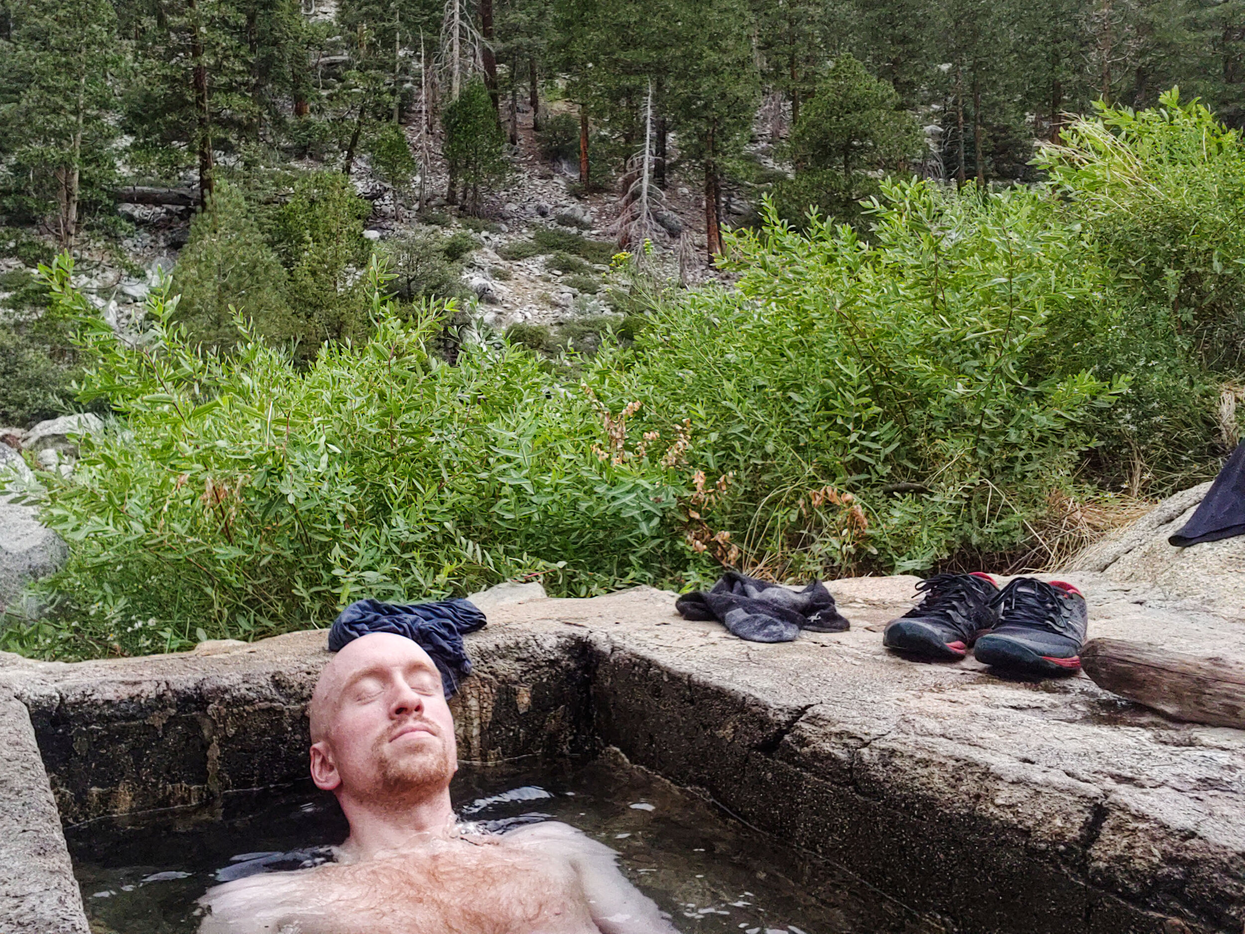
Taking time to relax in the hot springs was one of the best moments of the trip. Afterwards we headed back to camp, had dinner, and went to bed.
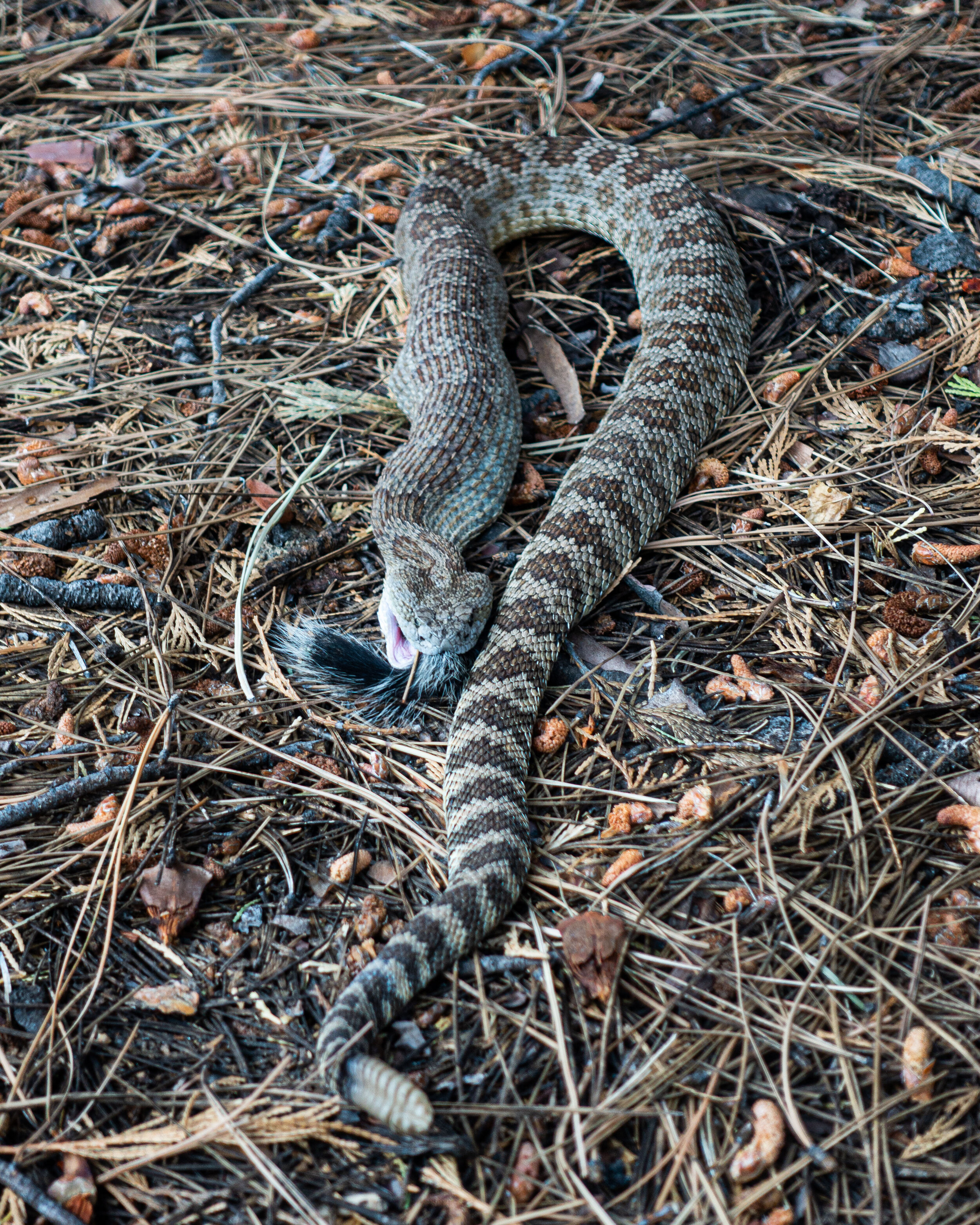
I was startled and jumped back after I nearly stepped on this rattlesnake when I went to use the bathroom before we left camp the next morning. If you look at its mouth you will see the tail of the squirrel it was having for breakfast.
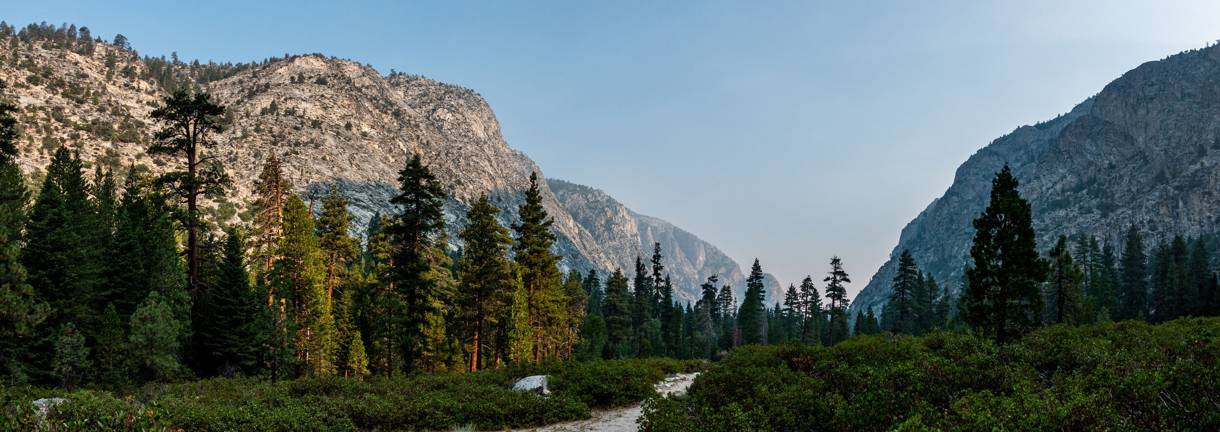
That day was planned to be a long one. We had 12.5 miles to hike to make it to the next camp, Wallace Creek. It was the earliest we set off up to that point.
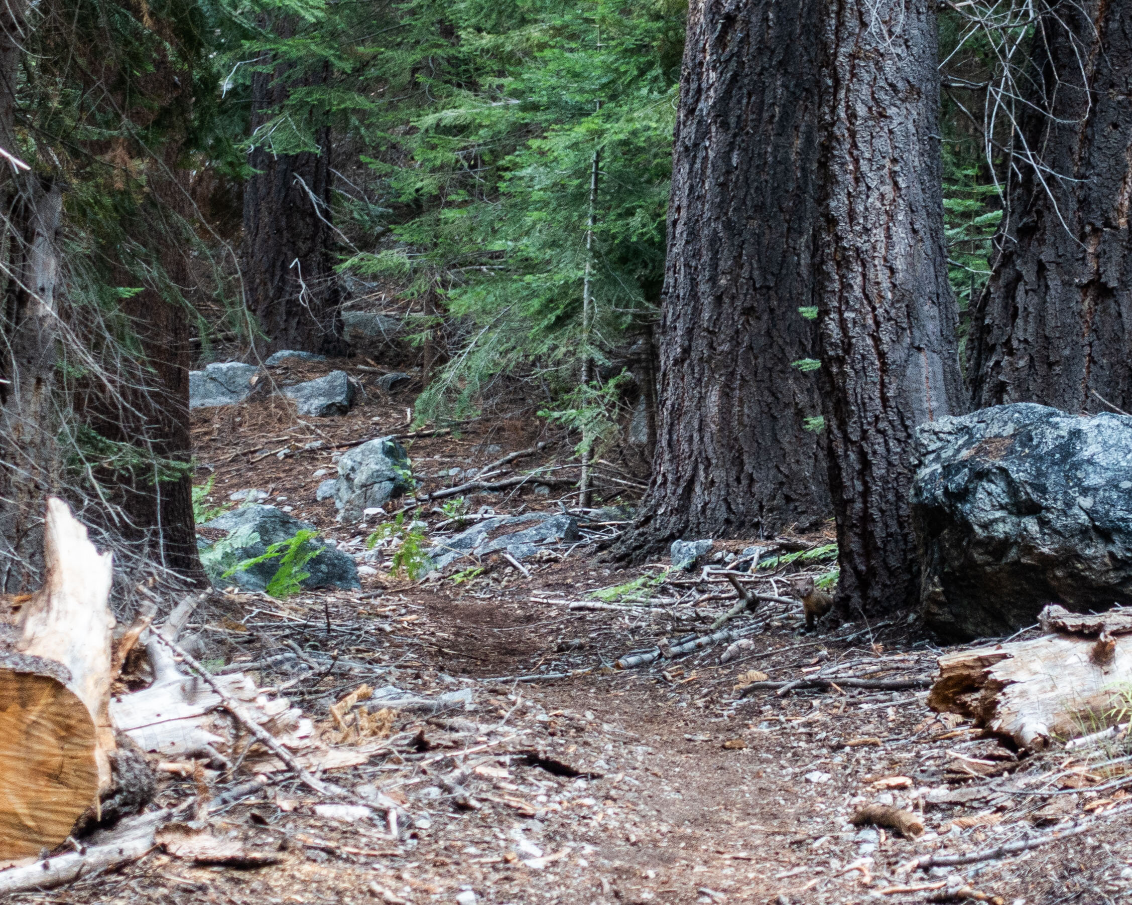
If you look closely, at the base of the tree by the rock, right of the trail, you will see a little pine marten poking out its head to have a look at us. I loved hiking along the river. Being in a dense forest again felt a bit like hiking back home.
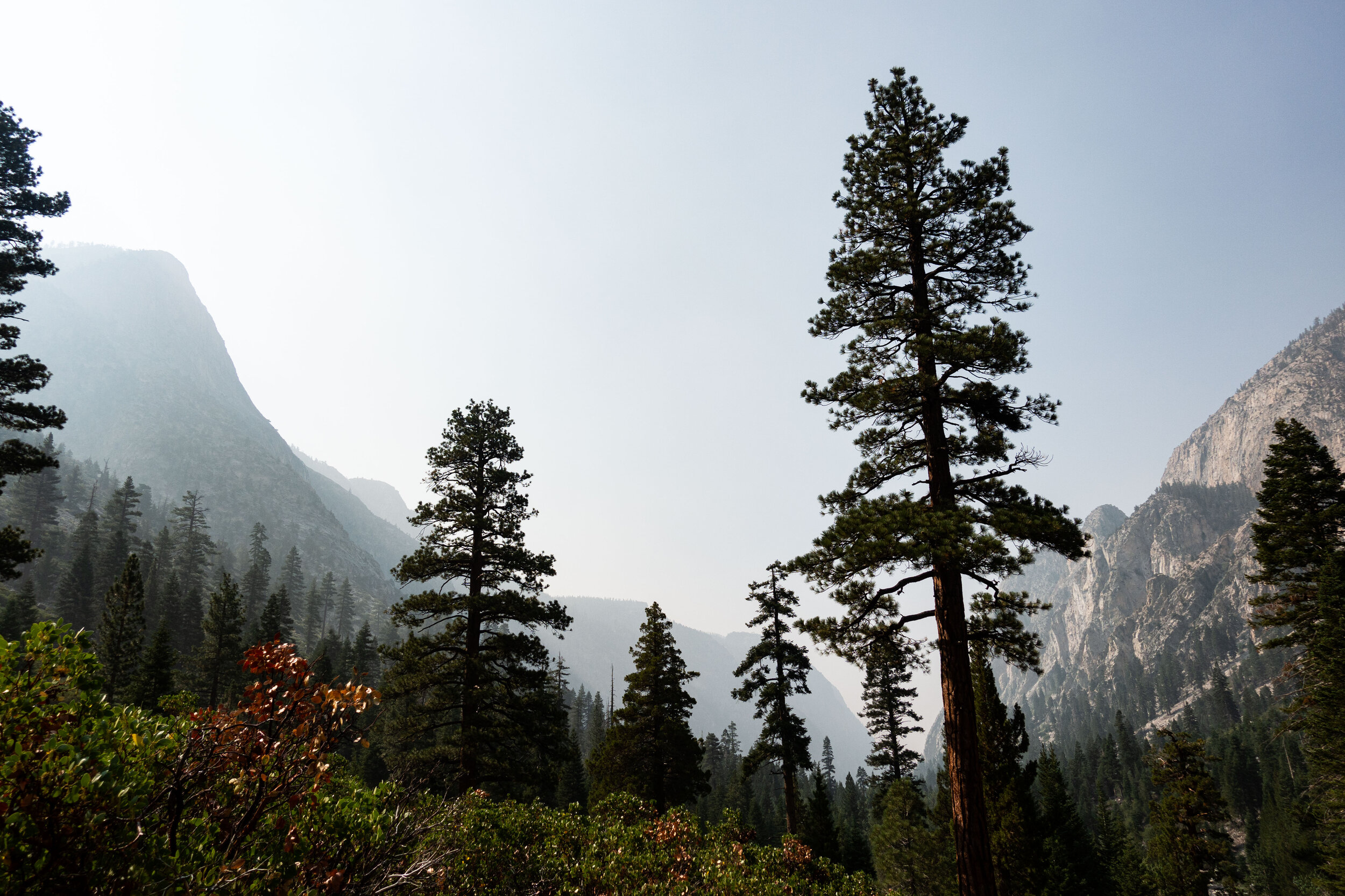
Although not as bad as the one up to Precipice Lake, the climb up to Wallace was a difficult one. It was long and exposed to the sun. In the afternoon the heat was brutal. We stayed together while we hiked along Kern, but once we started the climb up Mike got ahead of me. I spent most of this day hiking solo. It was a good opportunity to think.
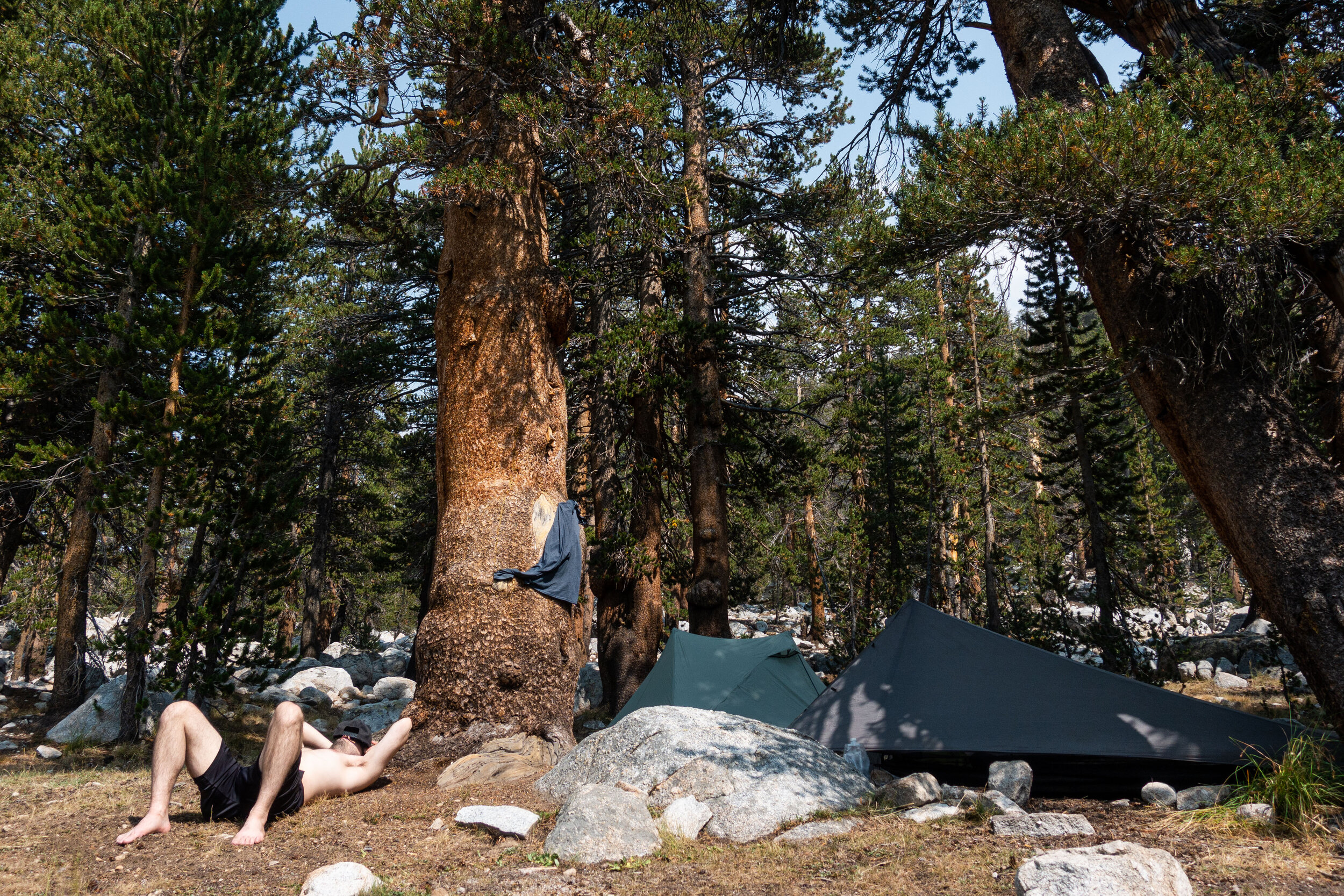
Later that day I finally caught up with Mike. He had made it to Wallace Creek about 45 minutes before I did. We were warned ahead of time that Wallace is a busy campsite, since its where the High Sierra Trail, the Pacific Crest Trail, and the John Muir Trail intersect. Maybe it was because of the pandemic, but there were few people on the trail and the same went for all the campsites we visited. The relatively quiet trail gave us a better chance to get to know the friends we made during our hike. The other hikers you meet when thru-hiking are some of the best parts of being out there.
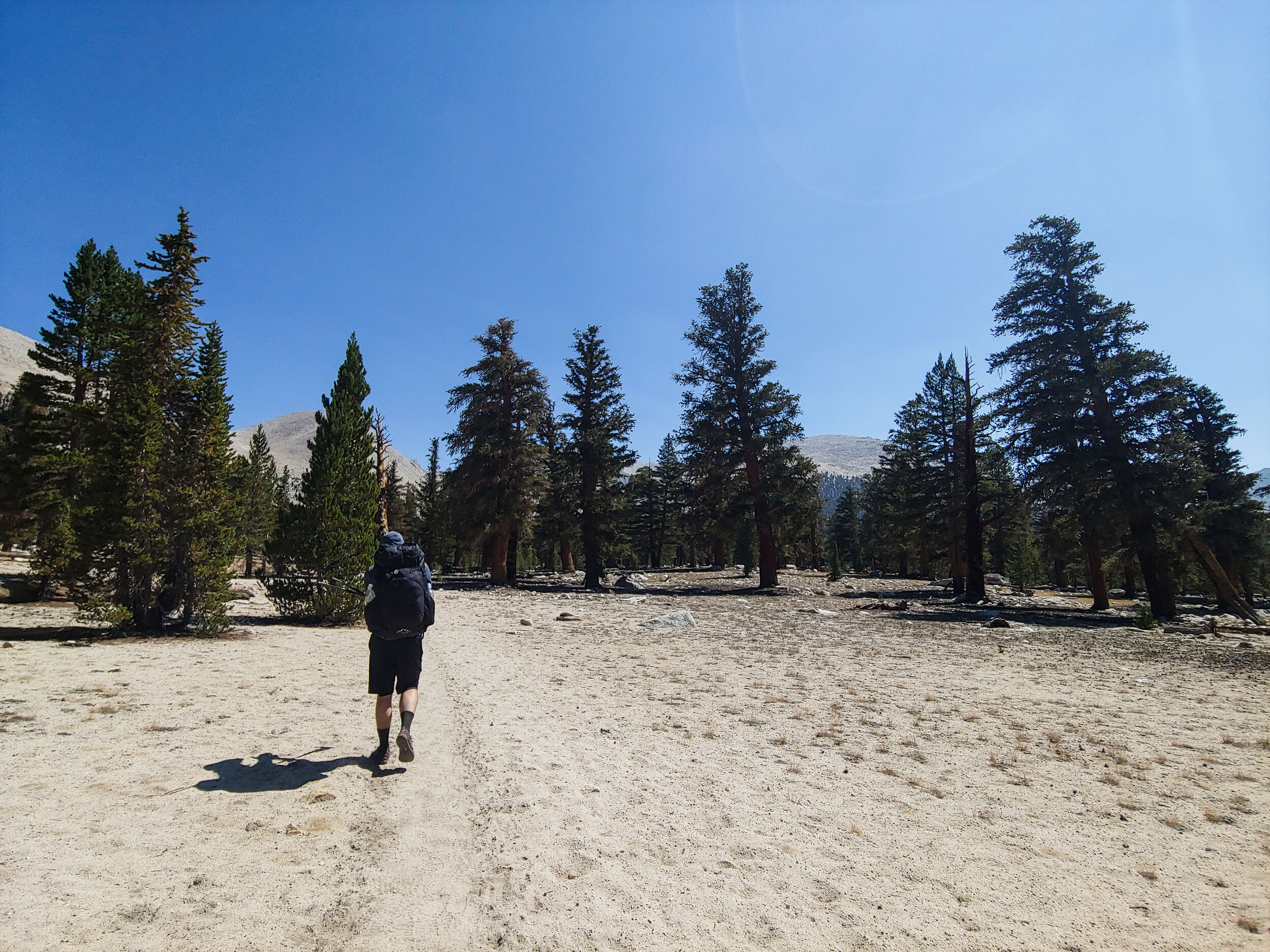
The next morning after Wallace we were heading to Guitar Lake. From this point on we were entering the Whitney alpine zone. It was a short 7 mile hike to the campsites around Guitar.
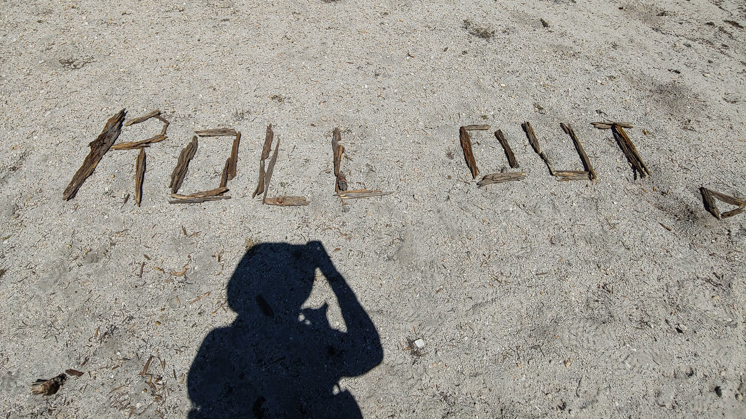
Found this written in sticks near Crabtree Meadow.
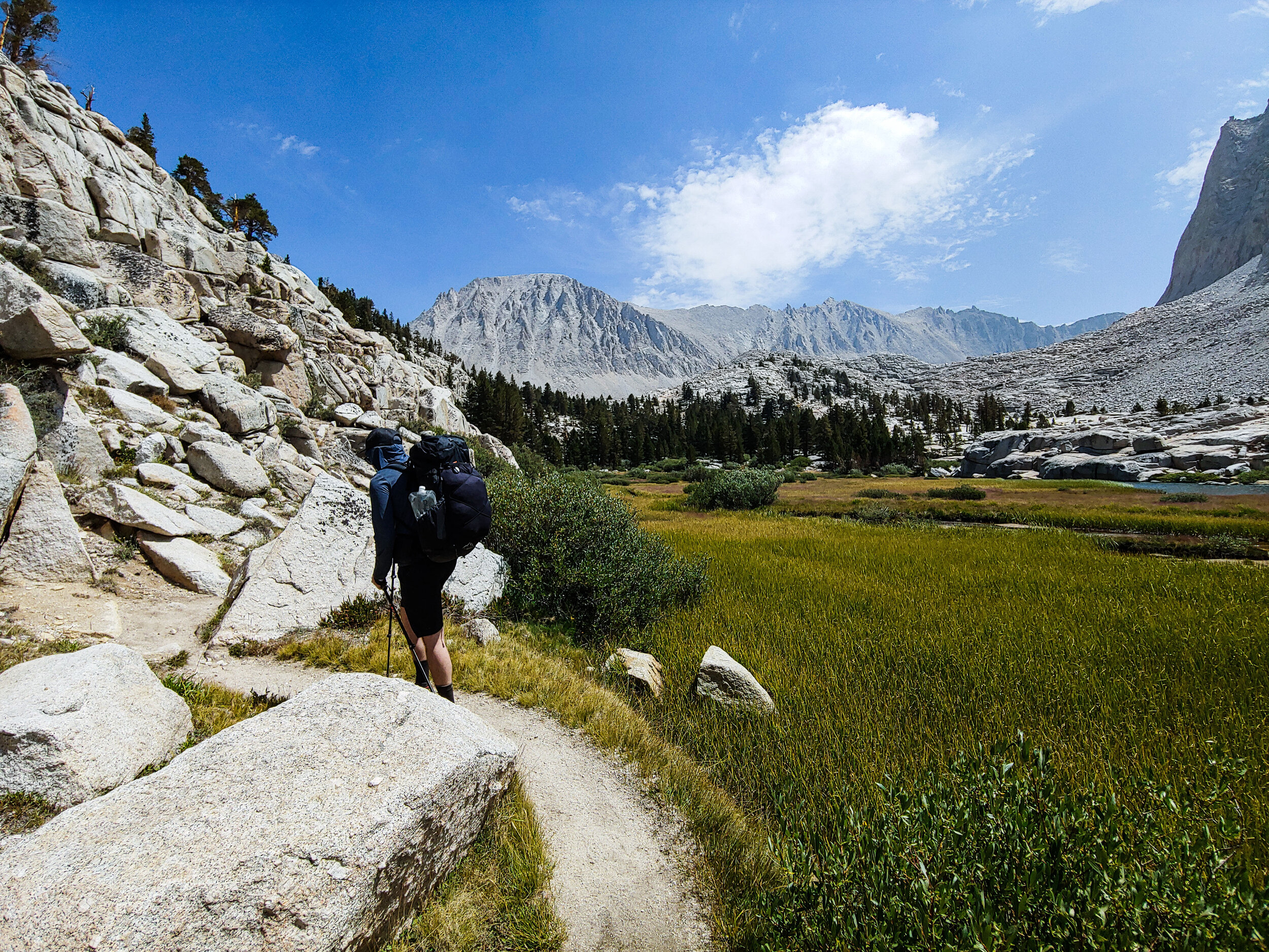
Before reaching Guitar Lake we passed by the smaller Timberline Lake.
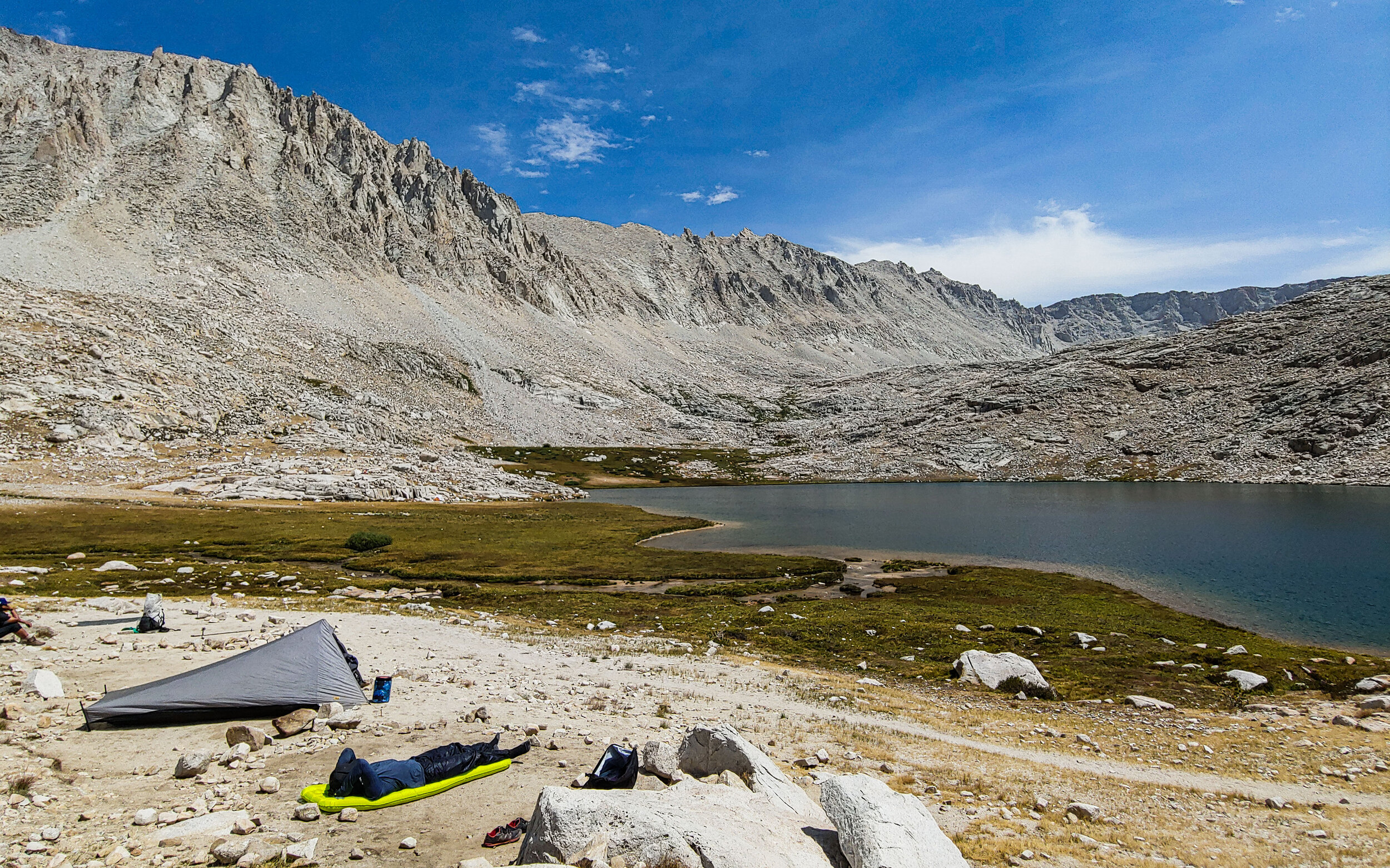
Guitar Lake was really something special. We made it there by mid-afternoon. Like at Wallace the night before, Guitar Lake wasn’t crowded.
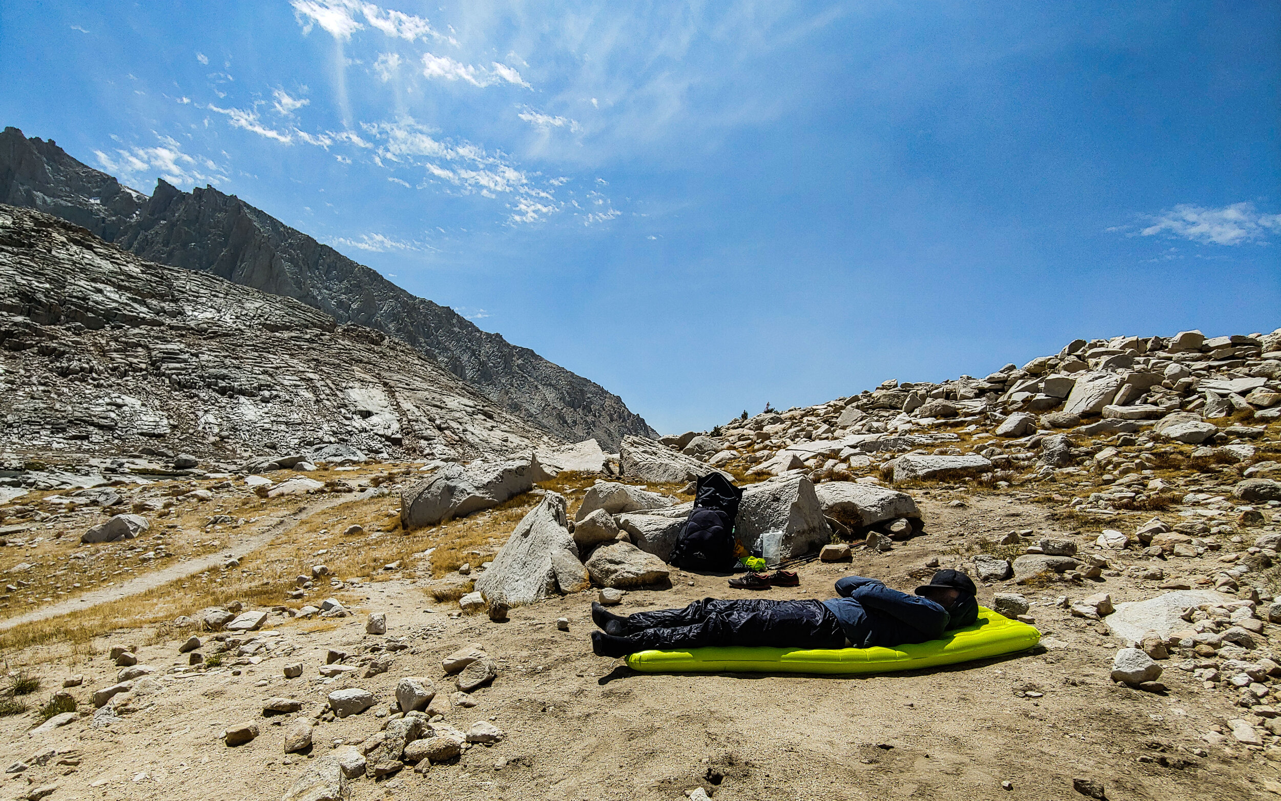
Our plan was to leave the next morning at 3am to summit Whitney. Mike and I both decided it would be a good idea to try to sleep a little during the day.
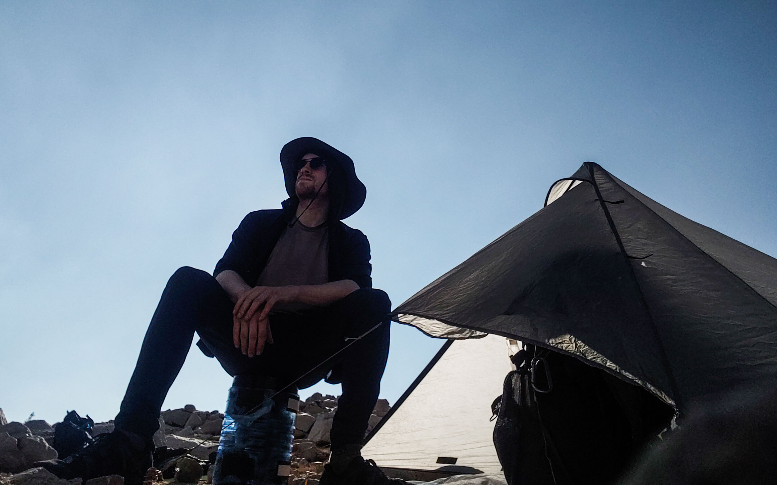
Trying to take a nap didn’t work, it was too hot inside my tent. I spent the day taking in the views and exploring around the lake.

I spent hours wondering around. The open space around the lake was huge.
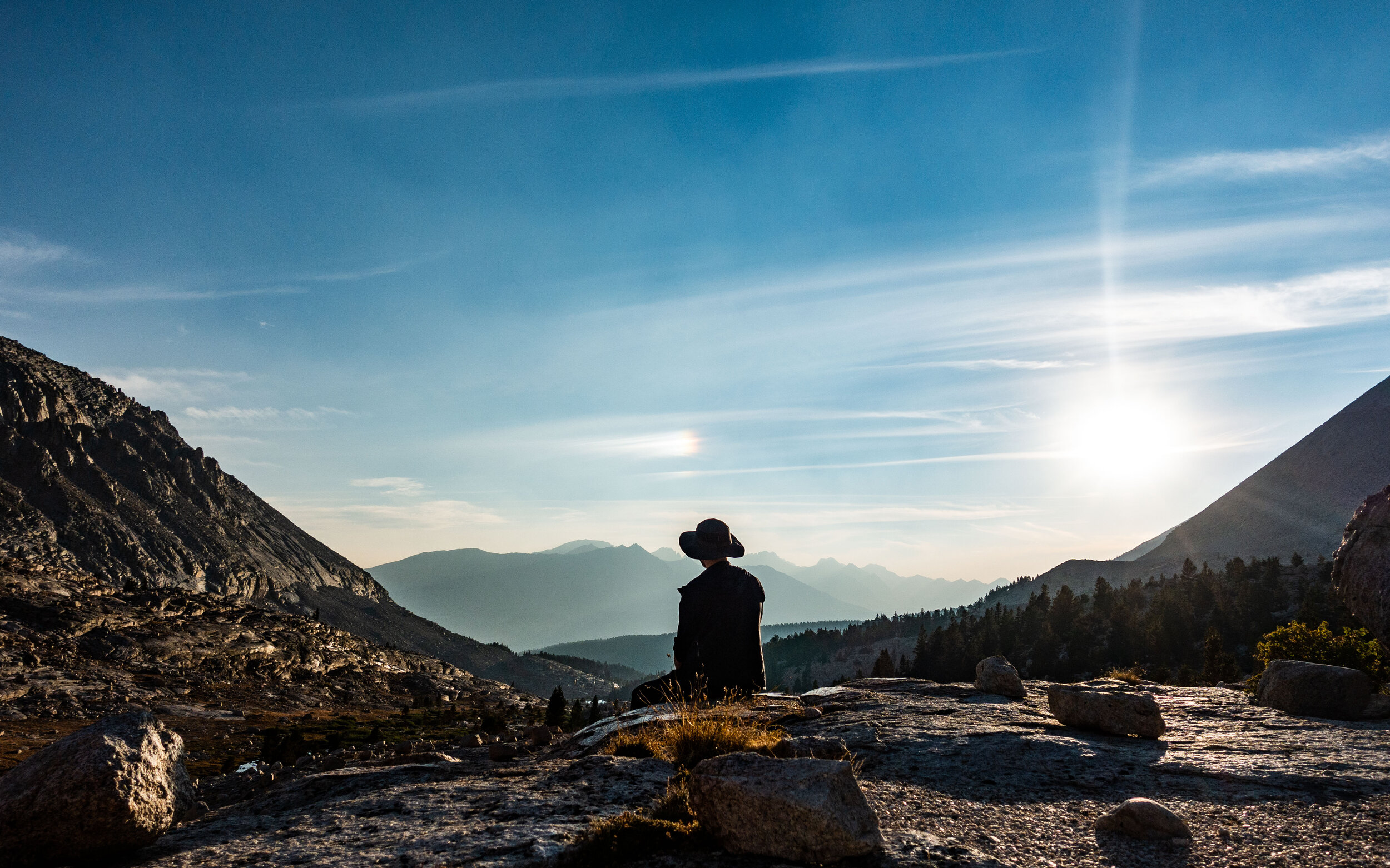
I spotted a small rainbow in the sky west of the lake.
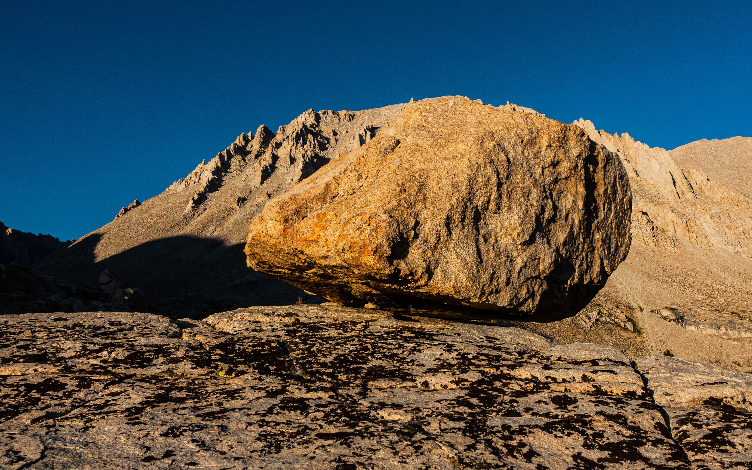
There were lots of great views to find once I started looking around the lake. It was like nowhere I have ever been before. The sun was starting to set, and its light cast a warm glow on the exposed rocks.
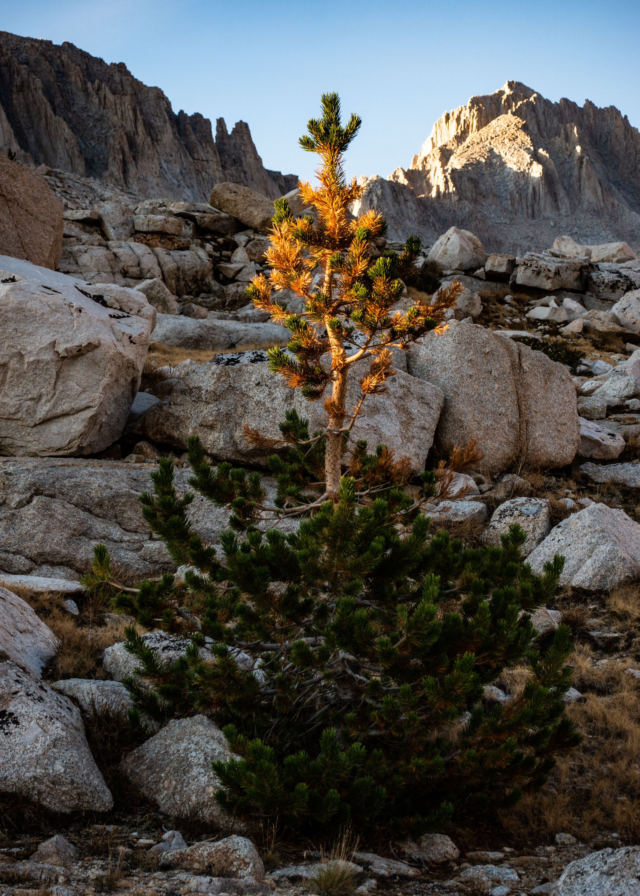
Being high above treeline made exploration around the lake easy, but there were still some small trees growing in the less exposed areas near Guitar Lake.
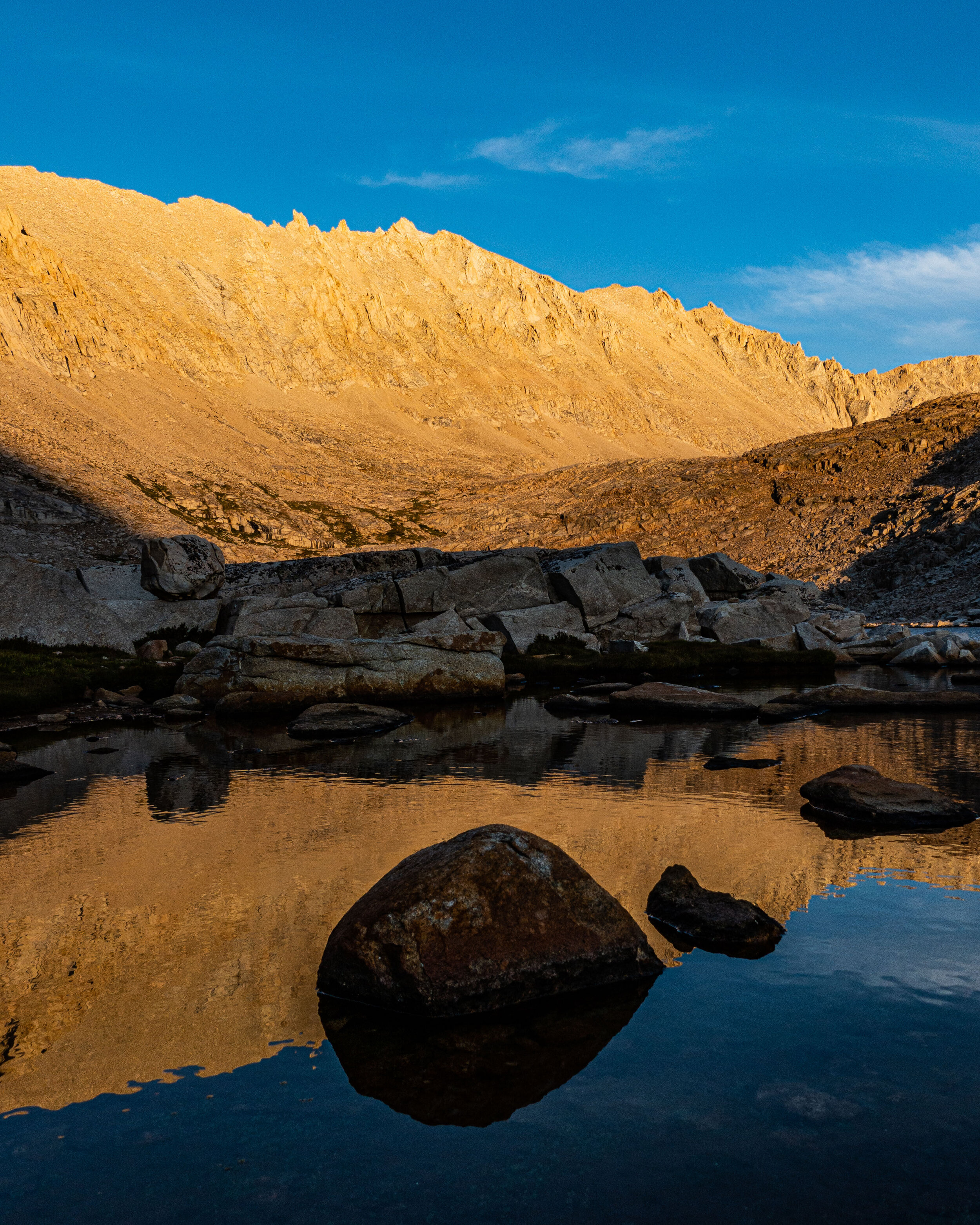
I probably took more photos at Guitar Lake than any other spot along the HST. I could have spent days there, but I would only get one…
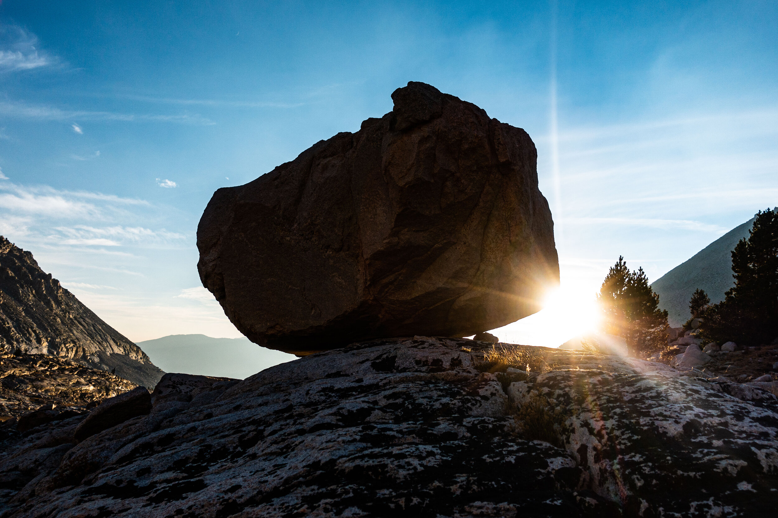
It was finally time to go to bed. The sun sunk below the horizon, and I had to be awake well before it would rise again. I took one last look at Guitar Lake, and walked back to my tent.
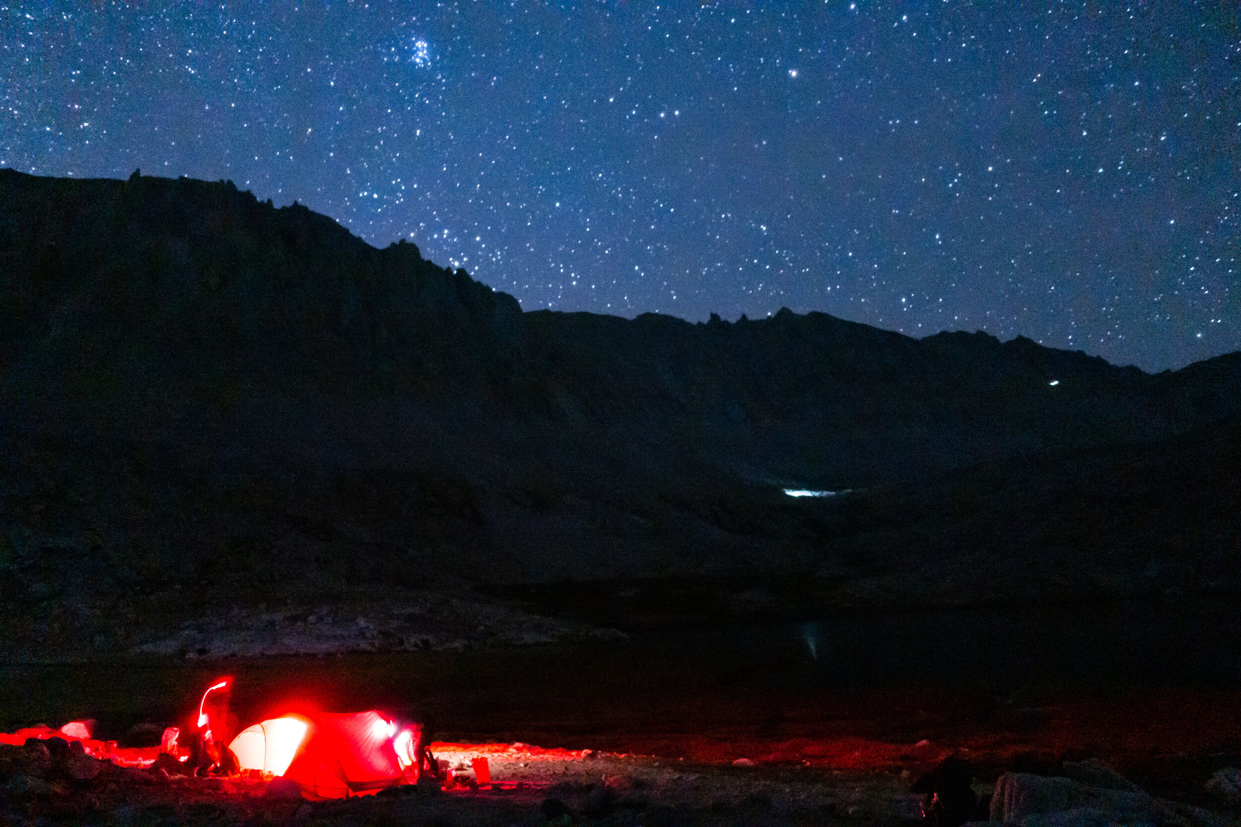
I didn’t get any sleep that night. Before I knew it 1:30 am came around and I was still wide awake and ready to start the climb. Soon after, other hikers began to wake and turn on their red-colored headlamps to pack their gear. The two faint lights you see in the distance are the headlamps of hikers who had already left camp to start their summit. Since it was so early in the morning, the Pleiades star cluster, normally a group of stars we see in the winter skies, was shining overhead.
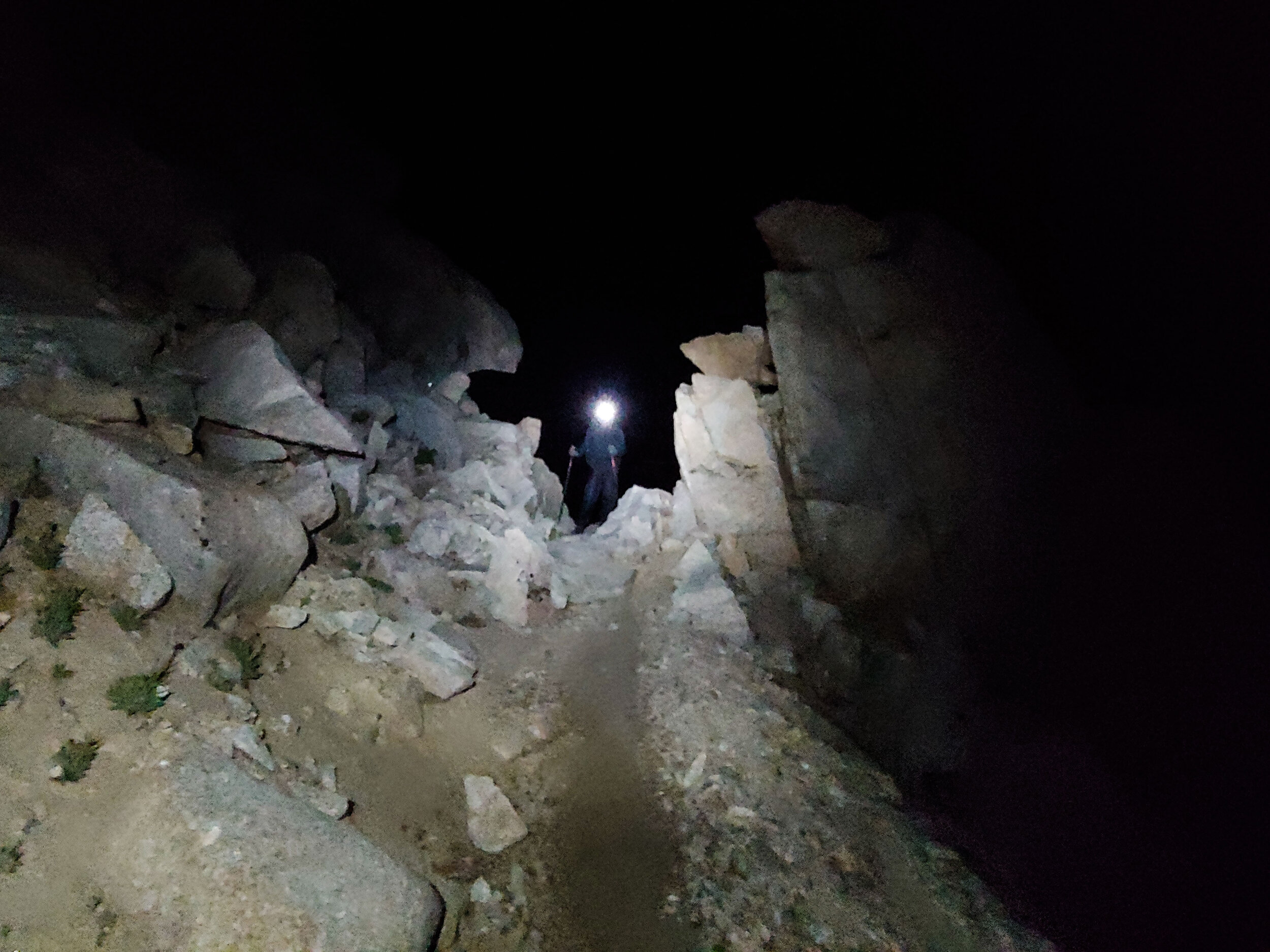
Mike and I were, for once, some of the first hikers to leave camp. We left at 2:30am. Not much was visible beyond the light from our headlamps. Looking back towards guitar, we could make out the faint glow of other hikers moving around the campsite. Next to us were sheer drops down the side of the cliffs, the bottoms of which were too far down for us to see with our headlamps.
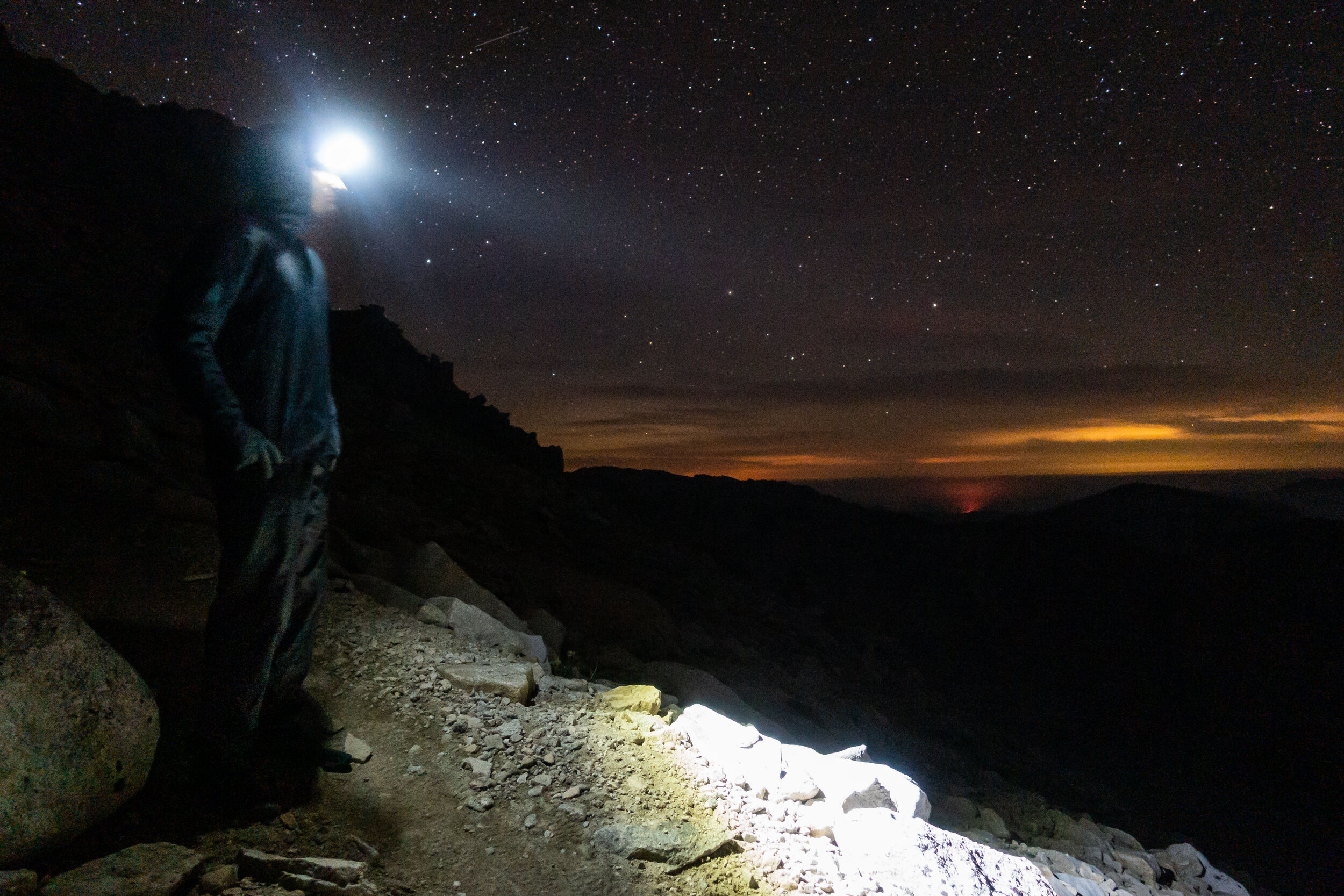
Hiking this trail at night was one of the best experiences I’ve ever had. I hadn’t slept, it was a hard climb, and it was only 40 degrees, but I was full of enthusiasm as we climbed and was loving every second of it. The atmosphere that night was something otherworldly to me. Occasionally we would hear the sounds of distant rock slides coming from the slopes to the west. Other than that, the trail was completely silent and still.
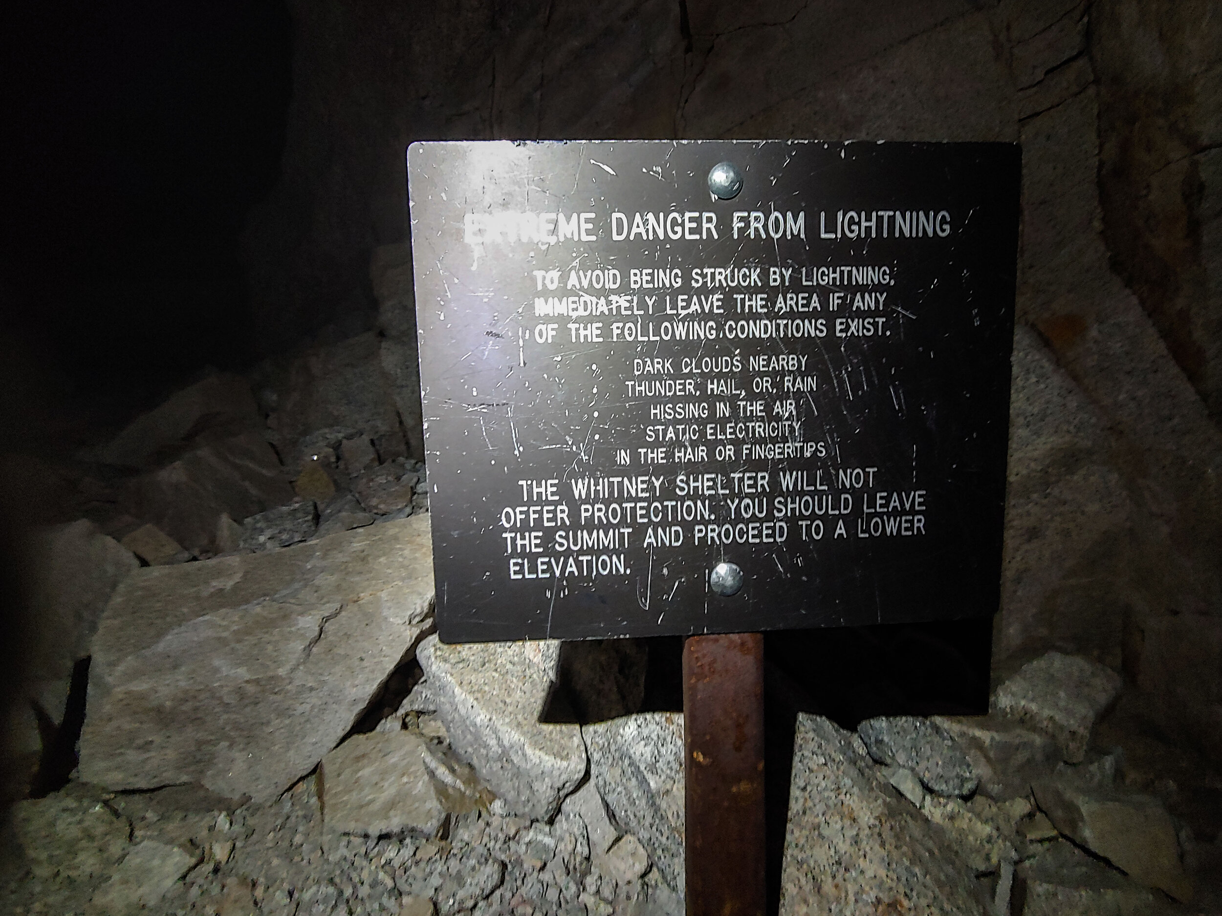
Once most of the climbing was out of the way we reached Trail Crest. It was small outcrop on this otherwise very narrow trail, but it was the perfect spot for hikers leave their heavy packs to lighten their load before the final 2 miles to Whitney’s summit. I took my small day pack with just a few supplies, and of course my camera, before making the final push. We would be passing by the same trail on the way back to pick up our packs. This sign warned us about the extreme lightning risk atop Whitney.
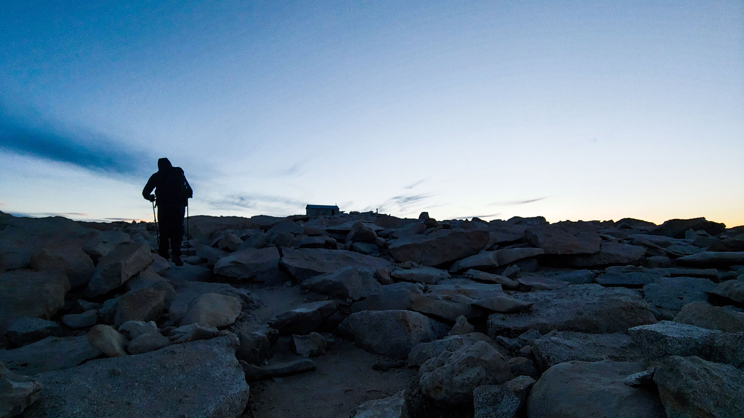
It took nearly 4 hours, but we were finally in sight of the top of Whitney.
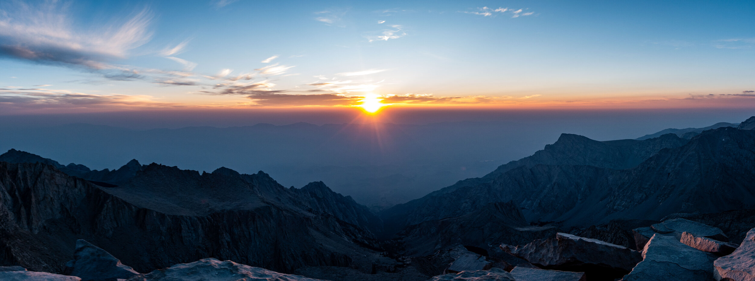
We did it. We started out so early so we would be at the top in time to watch the sunrise. We made it just in time. We were standing on top of the highest peak in the contiguous United States, 14,408’ above sea level. This was a full 8,200’ higher than the previous highest peak we ever climbed. Even though the altitude was an issue for me the first few days, by now my body had adjusted and I felt as if I might as well be standing at sea-level.

Other than the hikers, the only creatures up on top of Mt. Whitney were these small birds. They would come right up to us as we sat around the peak.
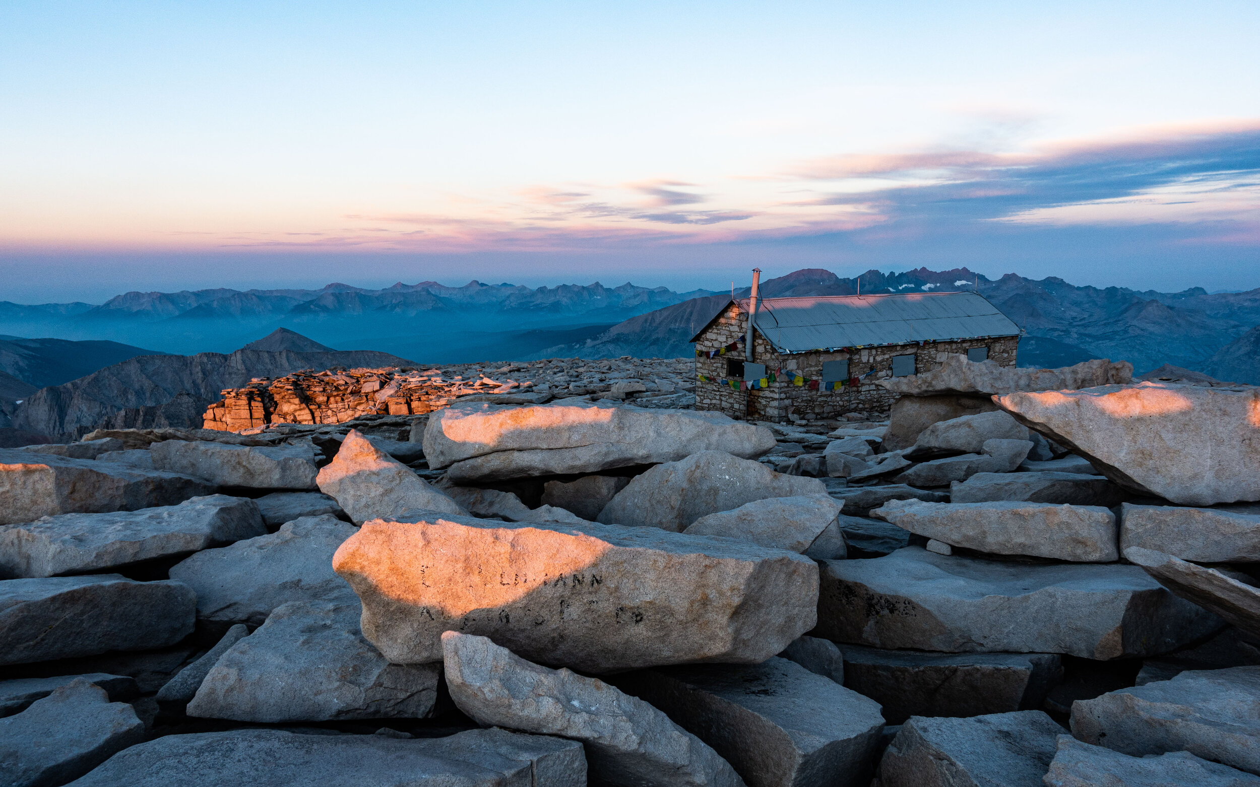
A few hikers had also made it to the top in time for the sunrise. It was worth starting out so early to experience the peak at this time. In a few hours, we were told by another hiker, the peak would fill with people.
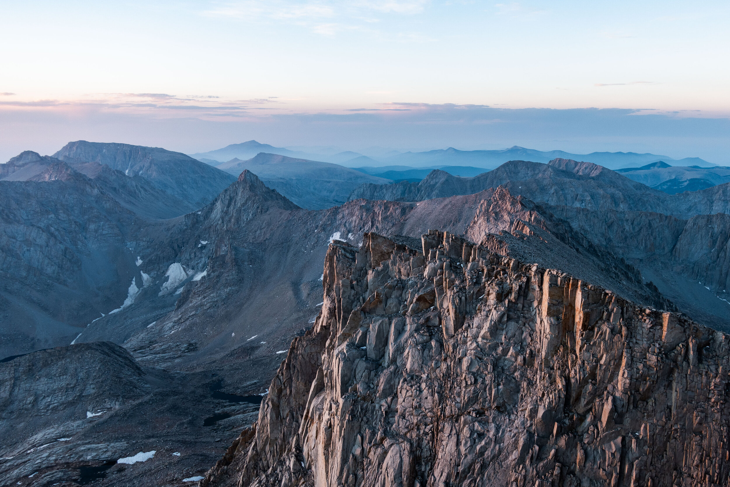
We could now see the narrow ridge we were walking along in the dark earlier than morning. We had no sense of how high up we were as we climbed.
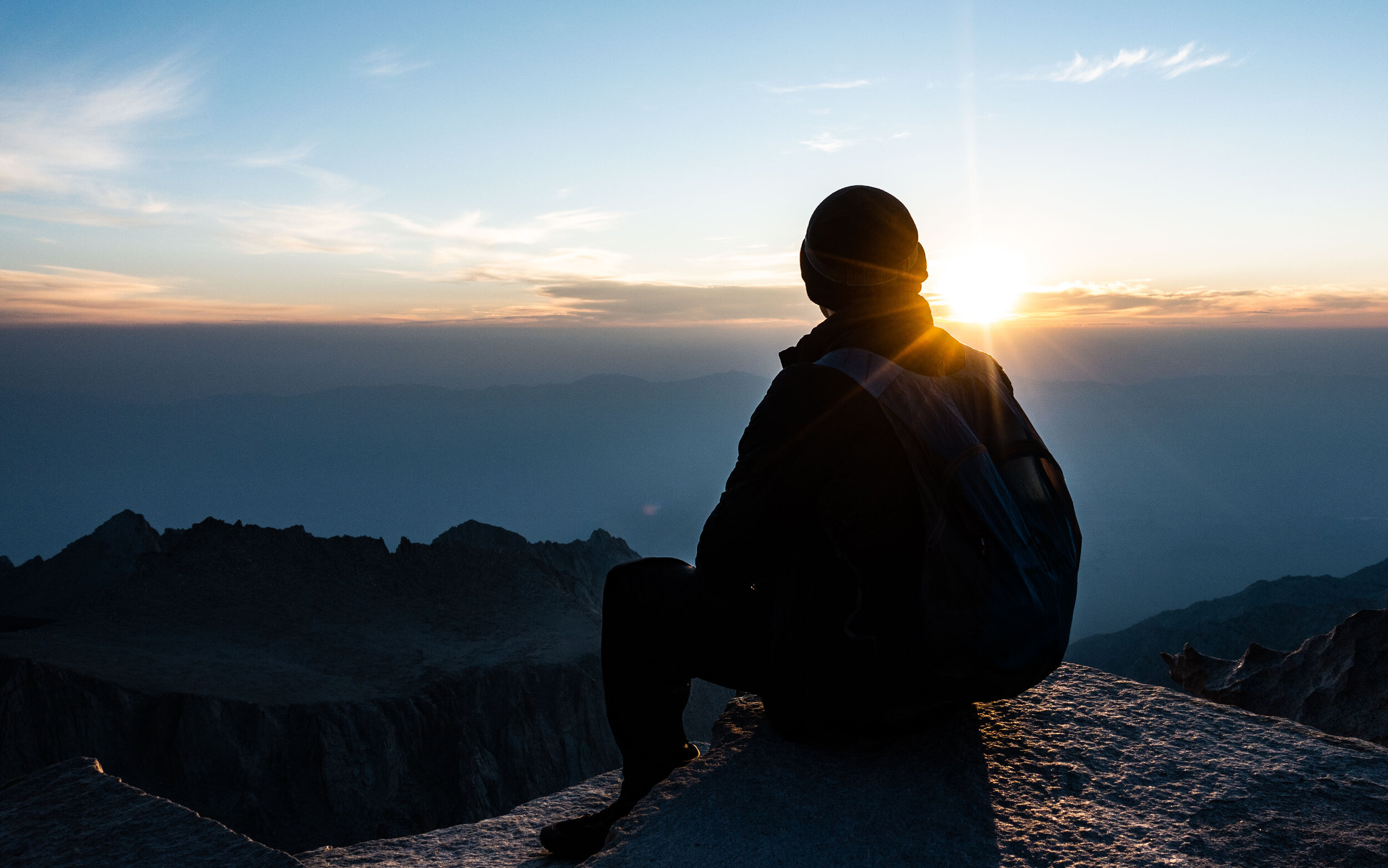
We spent about 2 hours at the peak. I think we earned a rest and a chance to take it all in.
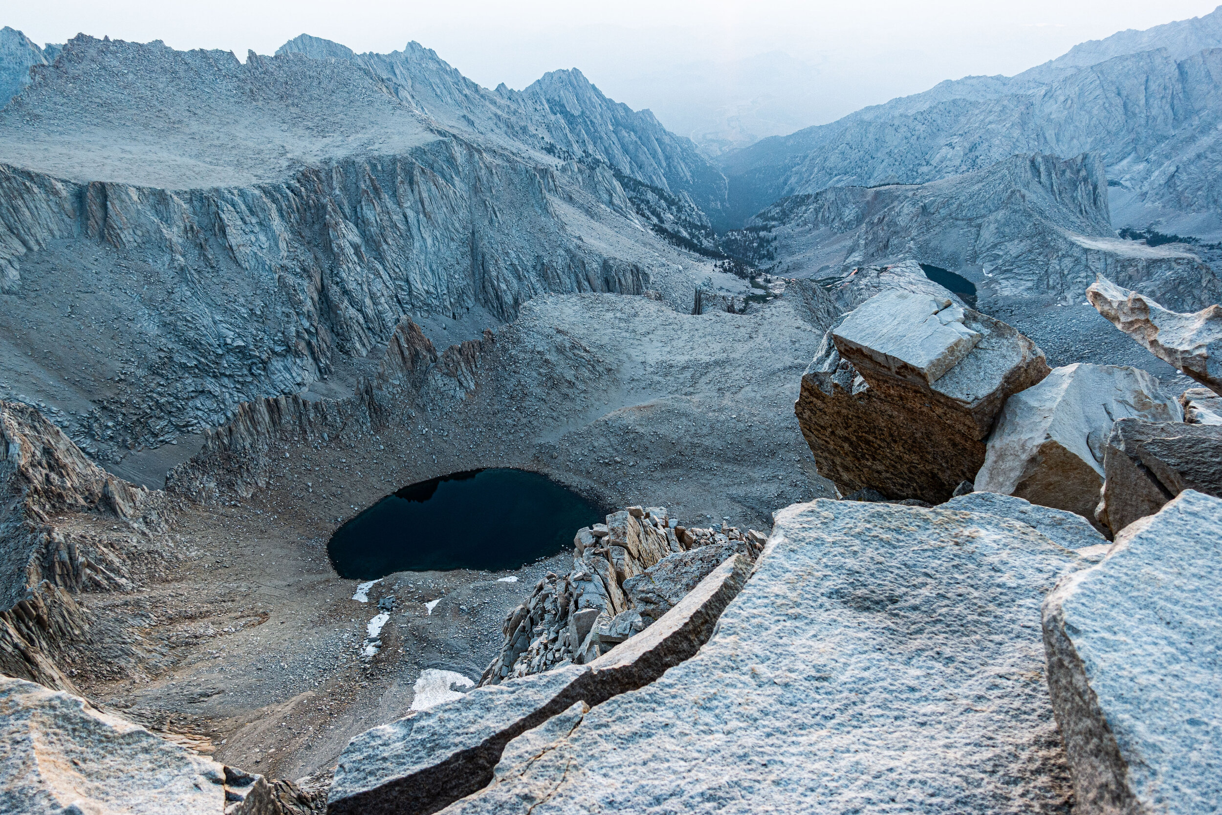
As we hung around the summit, more hikers joined us at the top, and we eventually saw all the friends we made along the HST.
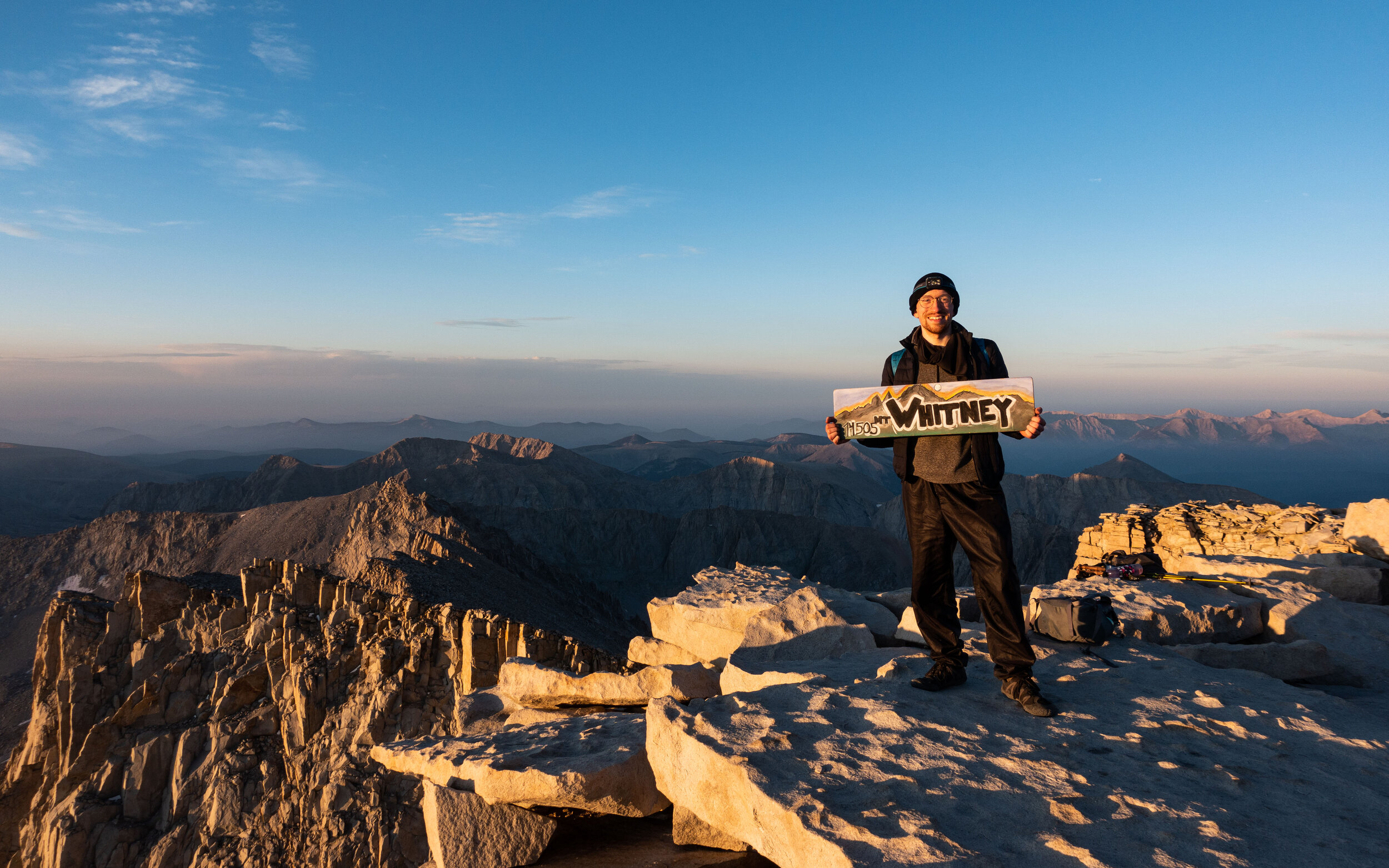
My summit photo. I couldn’t believe I was really there. I really wasn’t sure it was ever going to happen. this year, or ever.
(Surprisingly, the top of Whitney has cell reception. I was able to make a few called to let people know I made it to the top. It was the first contact I had since setting off at Crescent Meadow)
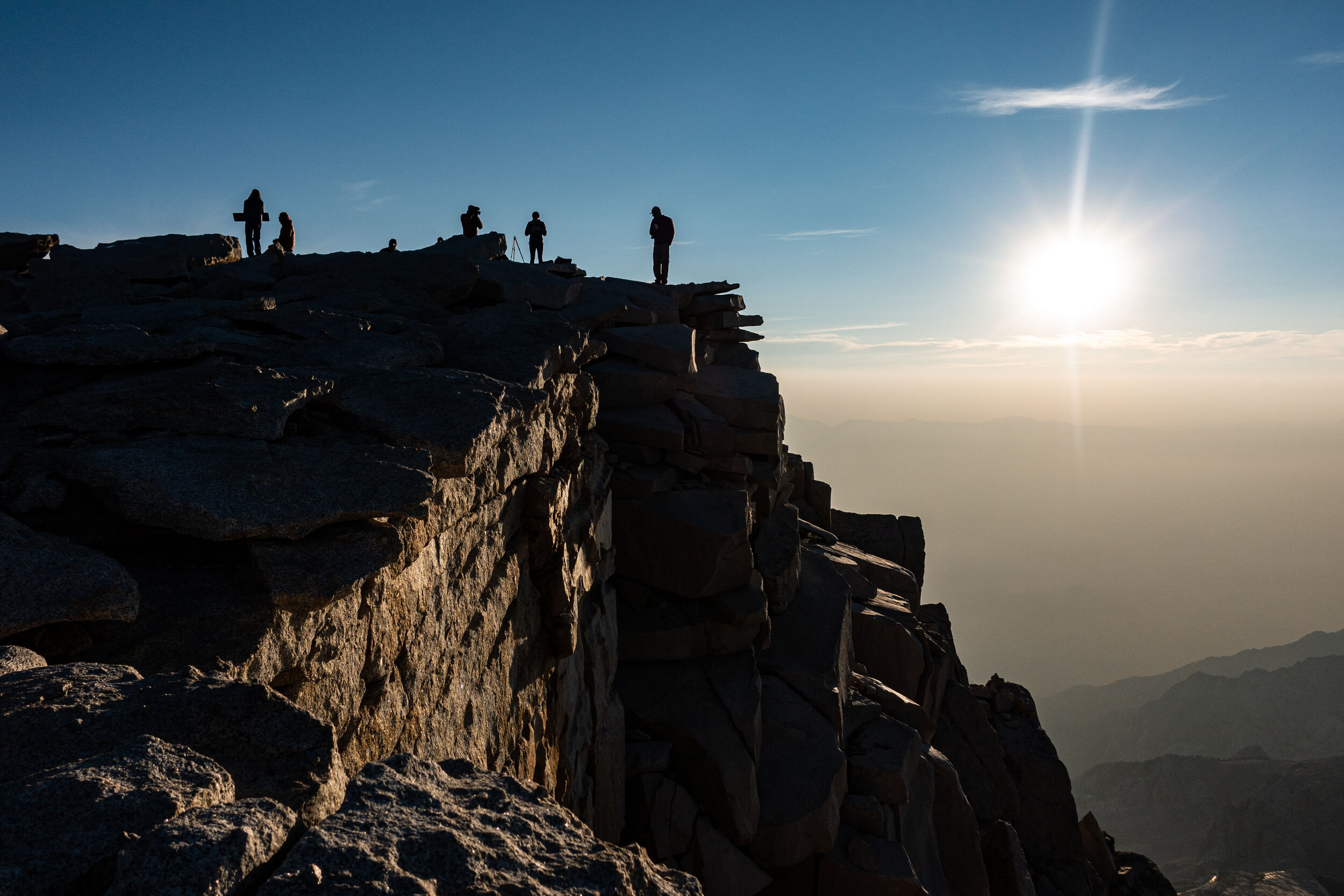
A few hikers taking photos at the summit.
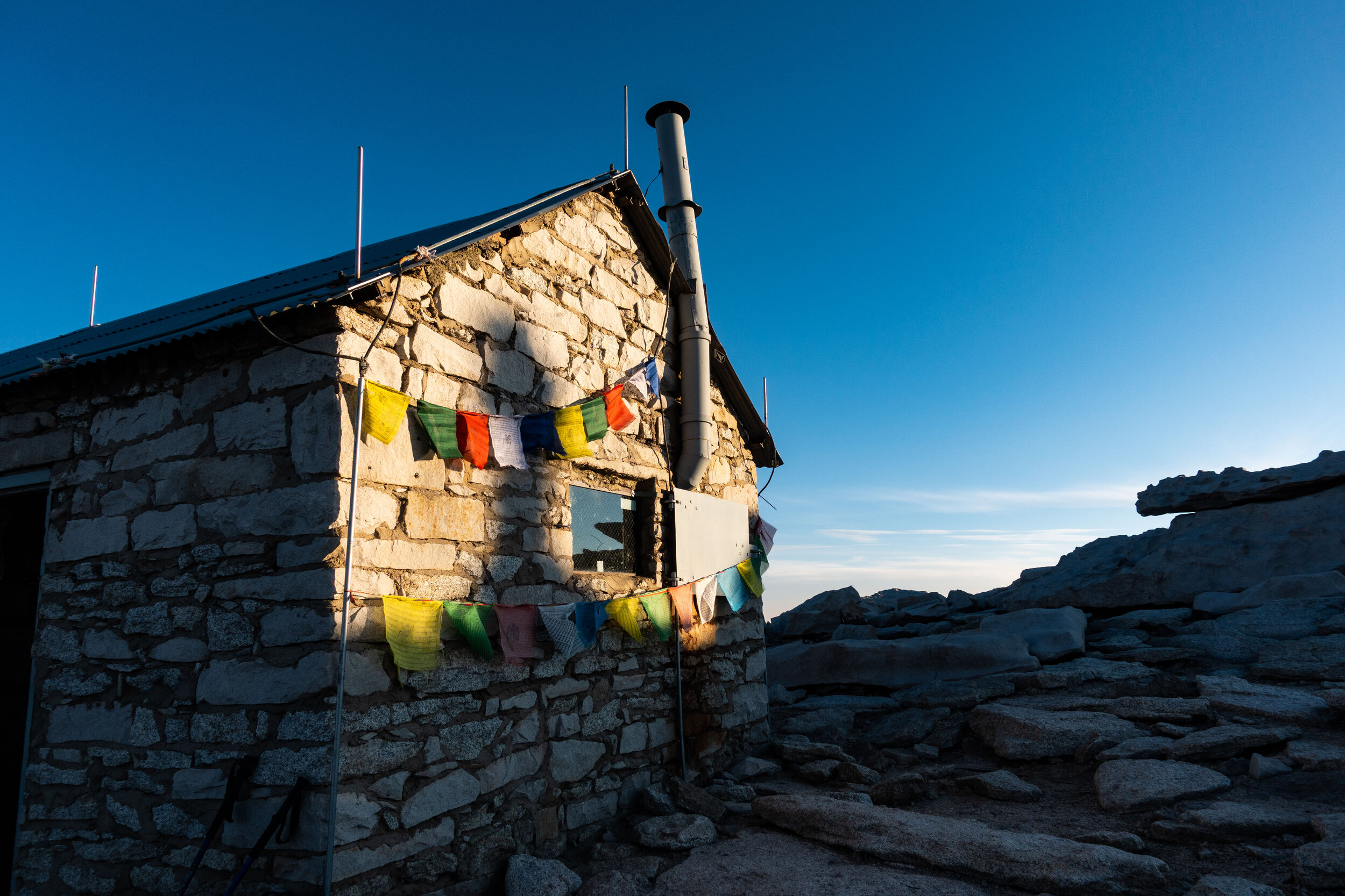
This hut was built in 1909, it predates the creation of the HST. We were able to go inside and look around, but it was just one room. Next to the hut was a log book where we signed our names.
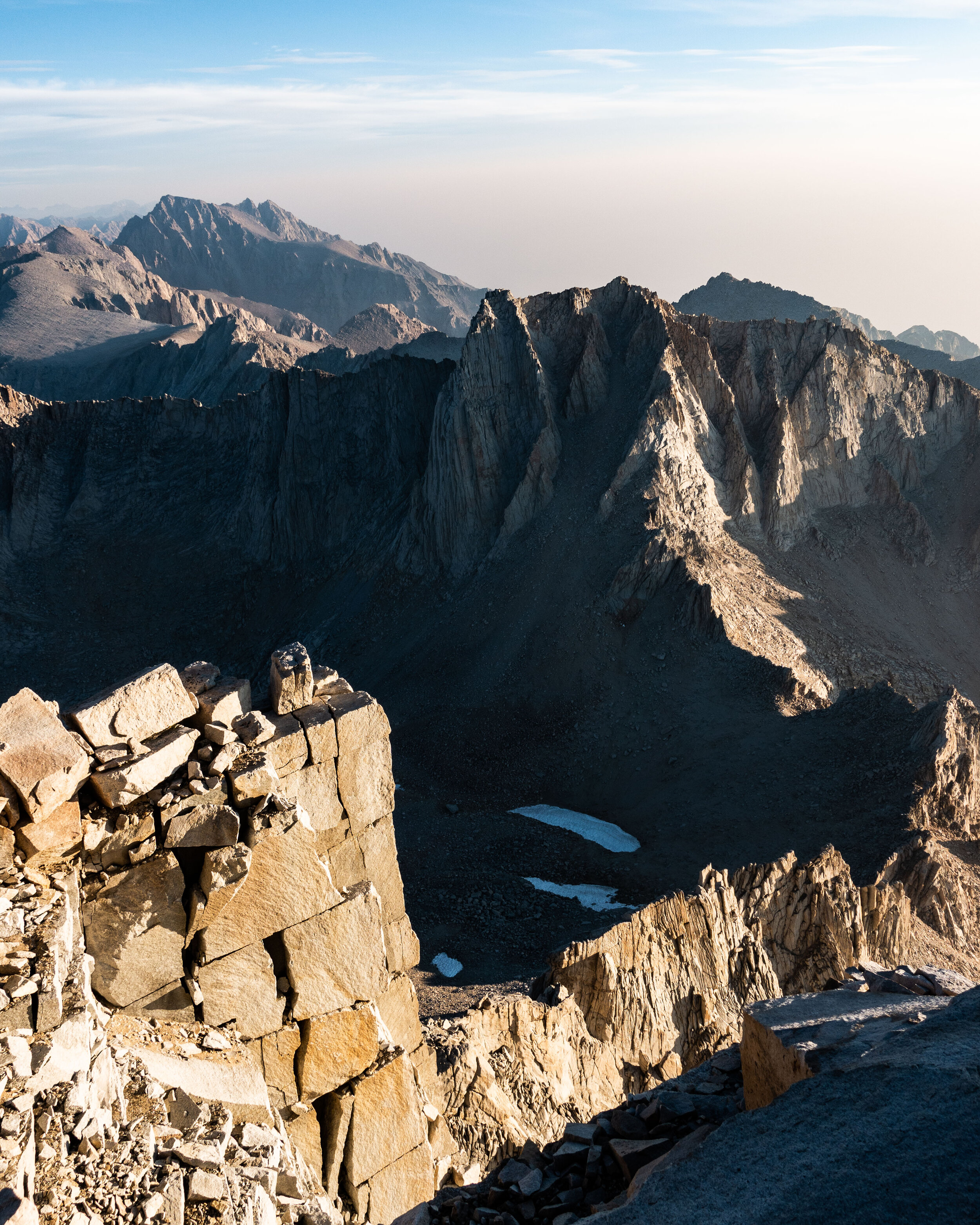
After our 2 hours at the summit it was time to move on. We still had a long 10 mile hike ahead of us to reach the nearest road at Whitney Portal. We had to get from there to the town of Lone Pine before nightfall. There was one issue though, we had no plan on how we would actually make it to town.
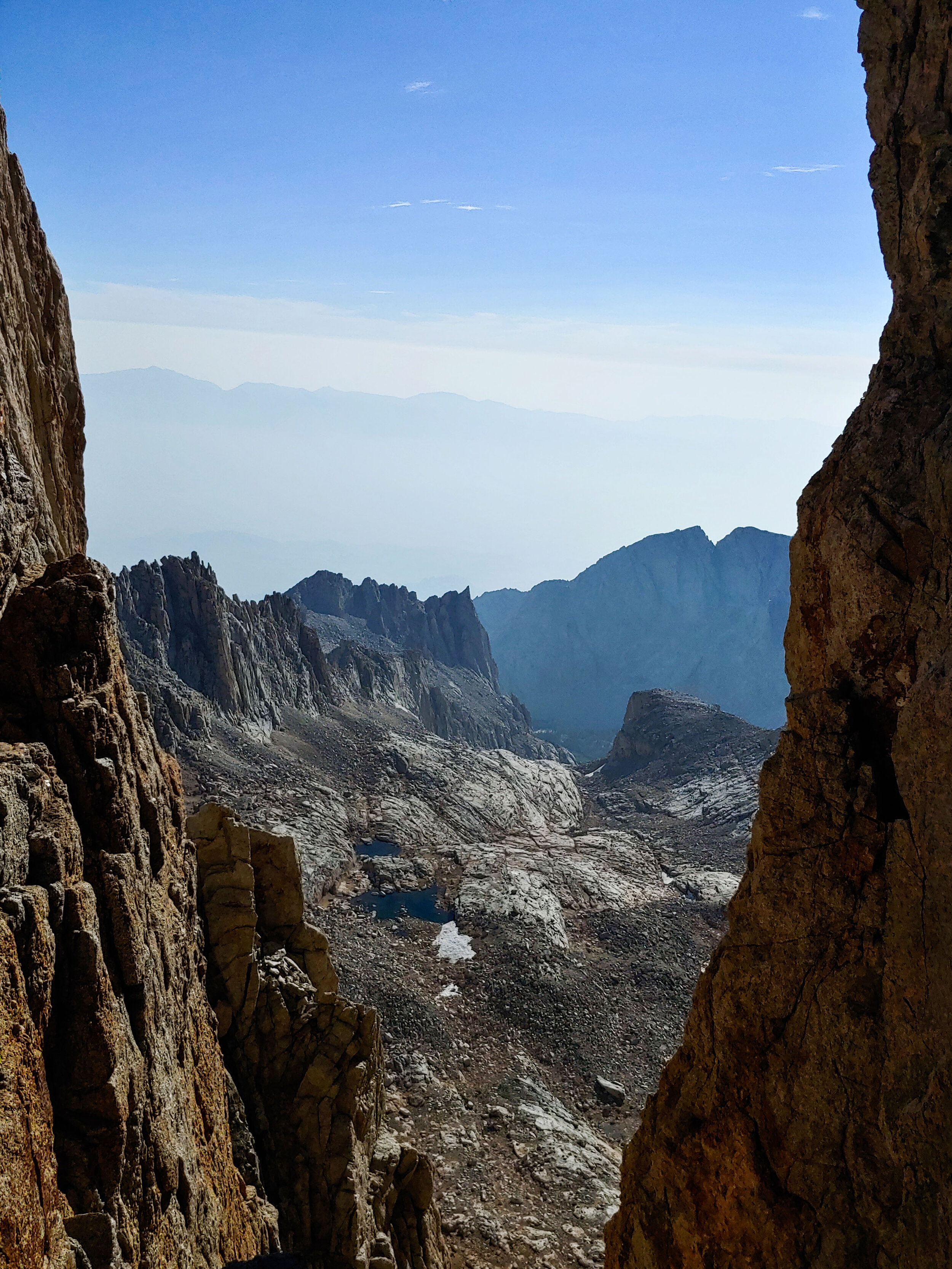
Now that the sun was up we got to actually see the trail we climbed that morning. There are a few cracks in the ridge, know as the Whitney Windows, that give you a view of the east side of the ridge.

We were able to see Guitar Lake from up here. We had camped on the right side, not far from the base of the ‘neck’.
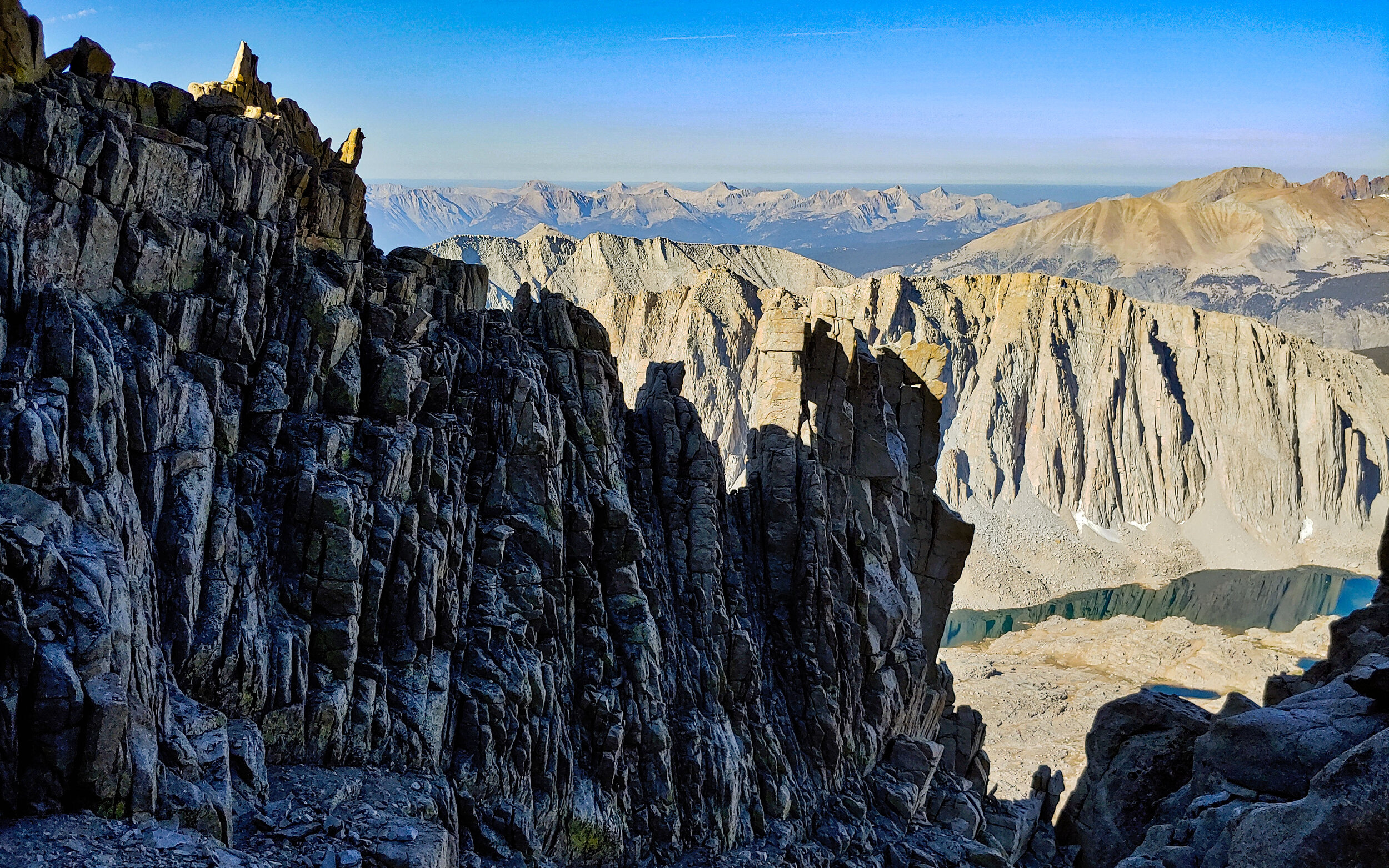
Daylight continued to reveal what an incredible trail it was to Whitney. Some of the drops were much higher than I would have thought, no wonder why our headlamps couldn’t show the bottom.
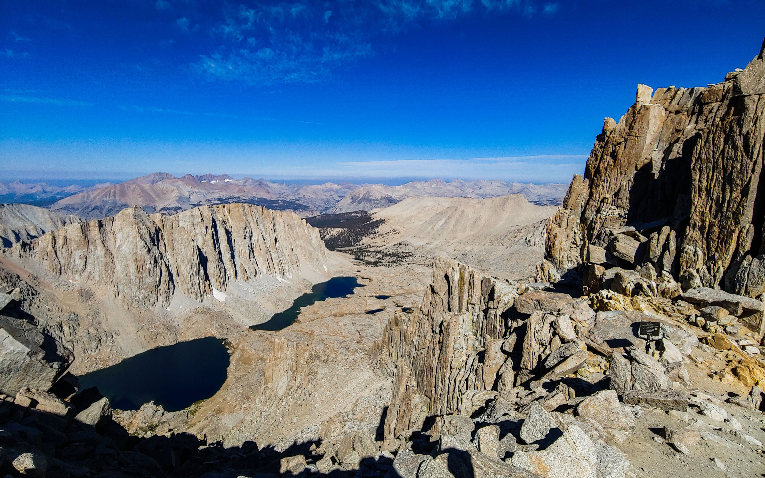
At this point we began climbing down the eastern side of the Sierras. This was our last view of the western side of the Great Basin Divide. It was all downhill from here.
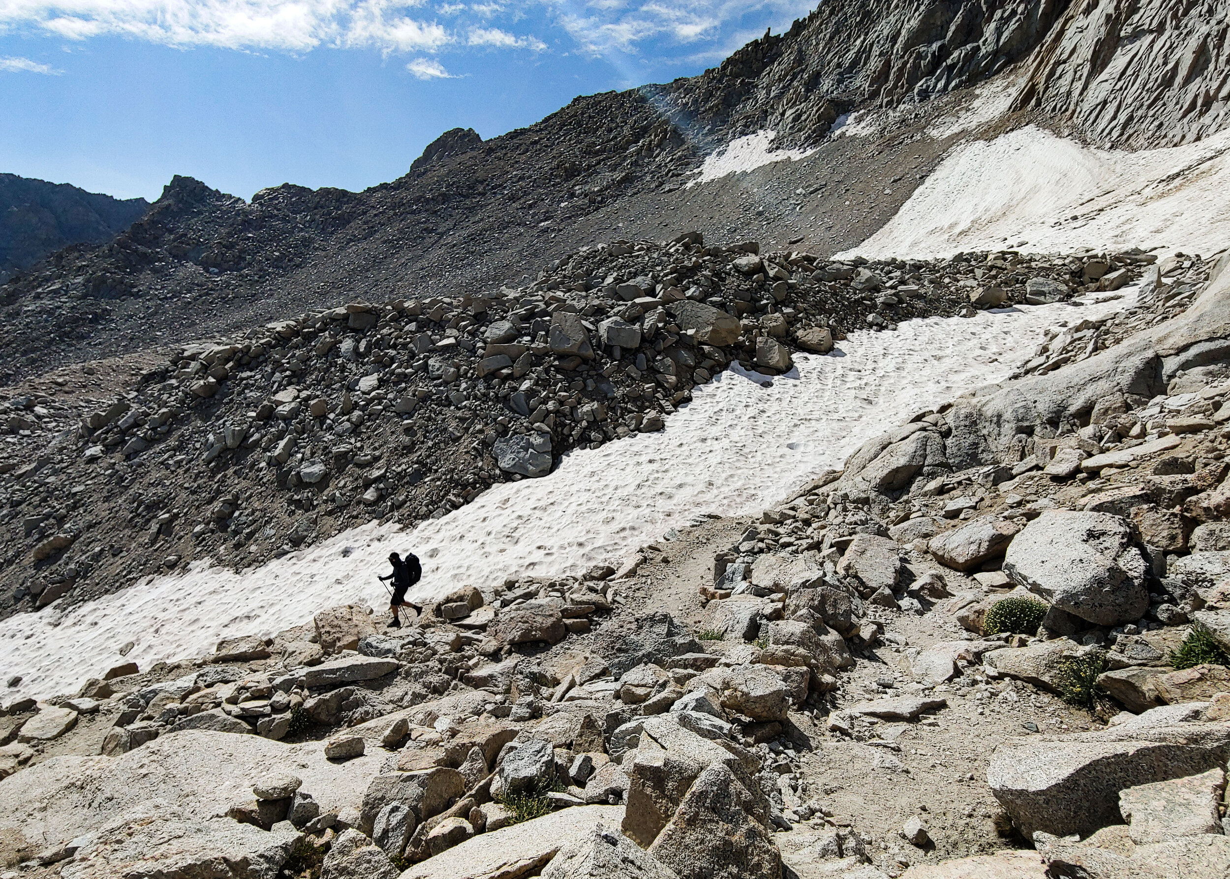
The eastern slopes had much more snow than the western side, and many more hikers too. The hike to the Portal was long and tiring though, and by the end of it I was exhausted. I was still running on no sleep. The last time I had slept was when we woke up at Wallace Creek. Those last few miles of trail, and the switch backs along it, seemed endless, but by that afternoon we made it. We had burgers and fires at the Portal gift shop and relaxed. Once it was time to go, we had no choice to get to Lone Pine other than hitchhiking. It took awhile, but eventually a couple returning from a camping trip picked us up and dropped us off in front of a motel in Lone Pine. Our hike was over.
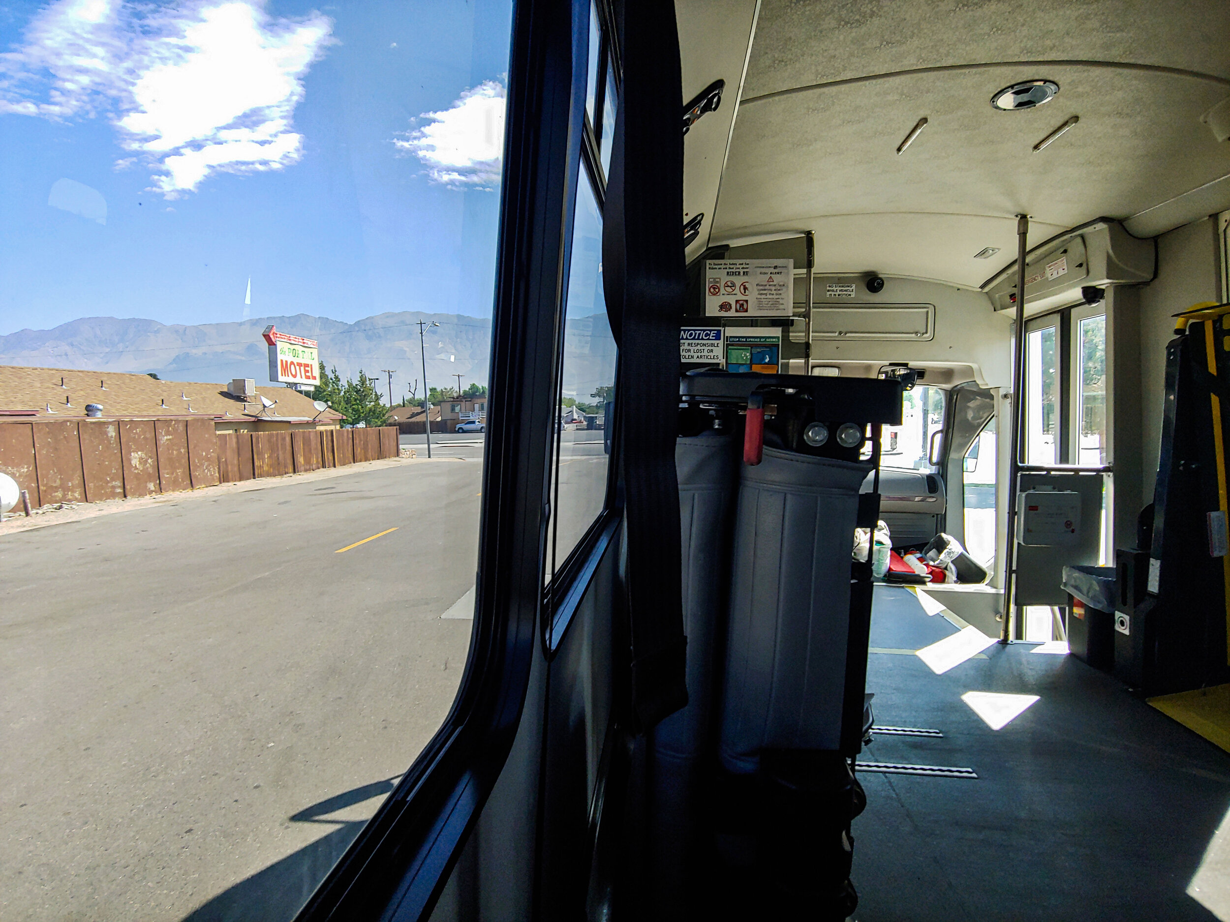
We stayed two days in Lone Pine waiting for a bus out of town. We eventually improvised our way back to Fresno, and had to wait 2 more days there before we took our flight back home. After getting home though, we had a 2 week self-quarantine to get through…
I hope I get to see the Sierra Mountains again some day. To quote a hiker we met on the second day...” The High Sierra Trail is really something special.”


For the last few years, we had been hoping to get the chance to hike the famous 72-mile High Sierra Trail (HST). The trail starts in the Giant Sequoia groves at Crescent Meadow, and eventually takes you up the highest peak in the Lower-48, Mt. Whitney. The pandemic meant many of our options for transport, such as several buses, were canceled. Every step of our journey to the trail head (and back) was more complicated than expected. Despite the logistical issues, we made it from New Jersey to Crescent Meadow. It ended up taking us 8 days to complete the trail. It was well-worth it.
It was difficult adjusting to the altitude. The previous highest peak I ever climbed was Mt. Washington in New Hampshire at 6,288’. The start of the High Sierra was already at 6,500’. Most of the time we would be above 10,000’. With the highest point, Mt. Whitney, being 14,508’.
It was my first time seeing giant sequoias. Photos can’t truly show just how big there are.
The first few miles of trails were full of day-hikers exploring Crescent Meadow, so I had to hike while using my bandanna as a mask. We had set-off fairly late since we had started the day at an Airbnb in Fresno. Most of the HST thru-hikers, I assumed, had already set off earlier that morning.
It had been 6 years since we last did a backpacking trip that was more than 4 days long. This hike wasn’t going to be our longest (that title goes to our ~280 mile AT section), but with the upcoming elevation gain, I expected it to be our hardest.
Since the pandemic hit months before we were due to set off, I tried not to let myself get too excited about the hike. I didn’t know whether it would happen or not. Finally, after a few hours of hiking the Sierras, the excitement of what I was doing began to set in.
I felt that if I had gone back in time thousands of years, or even hundreds of thousands of years, the forest would look and feel the same.
It was perfectly quiet that day. We heard few birds singing, and compared to the forest back home, there were almost no insects either. The dry mountain air made it feel like the moisture was being sucked from my lips and mouth. The humid and noisy woods of NJ/NY seemed like they might as well be on a whole other continent. The Sierras were like nothing we hiked before.
After 9 miles we made it to the first camp site, the aptly named Nine Mile Creek. We arrived earlier than expected, it was only 4:30pm. Back on the AT we would usually keep hiking until 6 or 7pm, but on the HST the campsites are further part, making it difficult to go ‘just a few more miles’.
A few other groups of HST thru-hikers were already at Nine Mile, but most were set up far from our tents. We spent the first night sitting by this pool in the creek and watched the stars come out.
The next morning we were visited by a curious deer that was checking out the campsites of the hikers who left before us. It came within about 15 feet of our tents.
We started later in the day than the other thru-hikers, but it was only a 7 mile hike to our next destination, Big Hamilton Lake.
The day started easy. The temperature in the shade was perfect, and the trail was mostly flat. Although we knew a big climb was coming near the end of the day.
We soon reached Buck Canyon, and decided to spend some time looking around and taking it in.
We found the Sierras had an abundance of fresh water for us to drink. A benefit of all the snow melt from higher elevations. At least once an hour we passed a stream that would be considered a rare find hiking on our usual trails in the Northeast.
A common sight as we hiked along the HST were small lizards. We would surprise them as they sunbathed on the exposed rocks on the trail, and scurry away once we got close.
This was the closest I able to to get the entire hike…
Bearpaw Camp is a tent cabin hotel built in the 1930s. Unfortunately, it was closed since last year because of damage it suffered from an unusually heavy snow year. It was still the perfect place to rest before the push to Big Hamilton.
We hung around Bearpaw for awhile before moving on.
The slope across from us was scared with groves that looked like they were made by avalanches. The bottom of the valley was full of massive boulders and dead trees.
I’ve never seen mountains like these. The closest I’ve come was in the White Mountains of New Hampshire, since some of those peaks are above tree line, but really there is no comparison to these formations. Sometimes I had to stop hiking just to stare.
This was one of the first first times the trail properly opened up and let us take in the sights above treeline. I couldn’t help but to think about how difficult it must have been to construct this trail through these mountains back in the 1930’s.
Seeing the scale and beauty of these towering granite mountains was more than enough to justify coming all the way here.
Right before starting the last climb to the lake, we crossed a wooden bridge over a gorge, but when we looked down we saw the twisted remains of a previous bridge that must have once spanned the gorge. It looked at if the large boulder its resting on might have taken it out during a landslide, but we weren’t sure.
It was a long way down to the old bridge.
This creek was flowing down from Hamilton Lakes, we stopped to relax and fill up our water.
I believe these flowers are called “Bigelow's Sneezeweed”. We saw many glowing along the trail.
It was a tough climb. The trail up to the lake was very exposed and climbing up in the early afternoon meant the temperature was high. I was still feeling the affects of the high altitude. Hiking one mile in the Sierras felt like hiking three in Appalachia. I was exhausted.
Big Hamilton is a popular camping spot. We learned that many people hike the HST just to spend a day there before heading back to Crescent Meadow. Thankfully we found a good tent site close to the water, right before it started to drizzle. Once the rain stopped however, powerful gusts of wind came pouring over the rim across the lake. We had to use all of our tent stakes, and some rocks, to secure our tents. The tent you see next to mine, on the far right, was completely blown over by the high speed winds. Our neighbors were gone at the time, but Mike and I were there to catch the tent in time.
We unpacked our food and cooking gear and started to cook a well-earned meal.
The rain and wind cleared out just in time for sunset, I went up a small trail that ran up a hill near the lake to have a look.
(Later that night, I went up this same trail west of the lake to use the bathroom. After walking a hundred or so yards from camp I heard a stomp on the ground. I looked up and my headlamp was just bright enough to illuminate two eyes of some large animal about 10 yards ahead of me. I decided to turn back rather than stick around to find out what it was.)
I could easily see what draws in so many hikers to take the HST just to camp at Big Hamilton. It was the most popular spot we stayed at the entire trip.
It was only day two, and we already saw a bear. We heard a fellow hiker yelling to scare it away when after it wondered close to the camp. We made it over in time to see as it left the area. It crossed over a creek and headed to the other side of the lake. The bear is hard to spot in this picture, its half way up from the bottom of the frame, slightly to the left.
Watching the last rays of sun light up the rim across the lake.
Mike and I stayed up late talking and watching the night sky. The Milky Way, Saturn, and Jupiter were prominently visible. We couldn’t stay up too long however, I knew that the next day would be one of the harder ones, it would start with a 2,000’ ascent up to Precipice lake. I wouldn’t get much sleep because the high winds from earlier that day came back in full force around 1 am. The thrashing of my tent in the wind made it difficult to get any rest.
The next day was even harder than I thought it would be. I still wasn’t adjusted to the altitude. The thin air made each step exhausting. Since It was only day 3 my pack was still heavy with food and other consumable supplies.
The trail up to Precipice was the most beautiful few miles of trail I’ve ever hiked. Here, the trail cuts right into a side of the cliff, forming a small tunnel.
The trail was about 2 or 3 feet wide, next to that was a few hundred foot drop. Here the trail comes through the notch cut out on the right, and loops around back up the mountain on the left.
We passed a few resting marmots while making the climb. They didn’t seem to be bothered by us as we walked by.
The climb was worth the effort. I was beat at this point. It took a few hours to make it this far, and since it was most of the time was spent going up, seeing the lake where we started made it felt like we hardly went anywhere.
We finally made it up to Precipice. The melting snow that’s filling the lake with deep blue water is visible up on the side of the slope. Precipice would become one of my favorite sites along the HST, and we had the whole place to ourselves. All we could hear was the sound of the snow melt flowing down the granite rock face above the lake.
We hung around the lake for over an hour. Mike is in the lower right of this photo.
Occasionally we were hearing the distant rumbling of thunder echoing through the mountains. Thunderstorms are common in the Sierras, and isolated storms are scattered throughout the mountains nearly every afternoon. They only passed over us a few times. It was more common for us to have steady drizzle than serious rain.
Mike decided to take a swim in the lake. Since the water came from snow melt, it was freezing. I went in up to my knees and could barely feel my toes after a few minutes.
After Precipice we started our way down the Kaweah Gap, part of the Great Western Divide. The hardest part of the day was over. Although we still had many miles to cover, it would mostly be downhill. We were on our way to a campsite next to a creek called the Big Arroyo. By this time it has started to drizzle again.
This lake was feeding the Big Arroyo, our destination for the night. The Big Arroyo eventually flows into the Kern River. We would be camping along the Kern in a few days from now.
I started to realize that every few miles the HST would offer us a completely different landscape and ecosystem. Kaweah was radically different from the environment west of Precipice and Big Hamilton. And now just a mile or so down from Kaweah was different yet again. Now we found ourselves in open landscape of isolated pine trees.
It was a very long and day, but I could honestly say those miles from Hamilton to Big Arroyo was some of the best hiking I’ve ever done in my life. We pitched our tents and settled in at the campsite for the night.
As usual, we were the last ones left at camp and took our time to get back on the trail. We altered our plans, however. Originally the morning after Big Arroyo was meant to be a long 14-mile hike to Kern River Hot springs, but another thru-hiker let us know that half way to Kern was Moraine Lake. It was off the main HST trail, but it seemed like it would be a good idea to split the long day into two shorter days to check out this lake.
The morning’s hike started with a 1,200’ climb. I felt stronger though, my body was finally adjusting to the elevation. It only took 4 days…
The hike to Moraine Lake was considerably easier than the last few days. Most of the time was spent in pine forest and meadows.
One of my favorite parts about being in the Sierras were the unusual trees. From the wild and twisted forms of the bristlecones pines, the scaly primeval looking bark of the ponderosa pines, and the humbling size of the giant sequoias, every tree was awe-inspiring. Far removed from the broad-leaved forest back home.
Unexpectedly found ourselves hiking a sandy stretch of trail. The HST continued to surprise us. We were only two miles from the lake now, we would reach it by around 1 pm.
After setting up camp, I took advantage of the fresh water of the mountain lake to rinse off my clothes. It felt great to finally put on a fresh pair of clothes after 4 days of hiking.
About an hour or so after we made it to the lake it started to rain and thunder. This was a the heaviest rain we saw yet.
The rain lasted for hours. Everyone at camp retreated to the safety of their tents to wait out the storm. Almost as soon as the rain started to let up, another storm cloud would roll over and last another hour or so. I relaxed, napped, and even made dinner inside my tent. All while listening to the rain drops land on my tent.
Finally, just before dark, the rain stopped. As we emerged from our tents we were greeted with a beautiful sky and setting sun.
The fading storm clouds kept shifting into more and more dramatic shapes and colors.
Waiting for the last bit of light to leave the sky. It was perfectly still and quiet that night.
I was so glad we unexpectedly stopped here for the night. The tip our friend gave us was a good one.
(I was sitting on a rock taking these pictures for nearly an hour, but unknown to me a duck was hiding out next to it. I eventually moved just enough to startle it. The duck aggressively quacked at me and took off swimming to the far side of the lake. It scared the crap out of me.)
The best view I had of the night sky on the whole trip was at Moraine. All the other hikers had gone to sleep at sunset, so I got to spend a few hours all alone on the shores of the lake, watching the night sky. Nights like these are one of the main reasons I go backpacking. I’ll never forget my night at Moraine.
The two brightest stars are actually Saturn and Jupiter. Saturn is the one on the left.
It was hard to pull myself away from the lake that night to go to sleep, but it was time to get some rest. Nights like this are something everyone should have the chance to experience at least once.
After learning Moraine we stumbled upon the remains of an old cabin not far from the lake. I wonder what this cabin was used for.
Before rejoining the main HST, we passed by Sky Parlor Meadow.
Soon after leaving Moraine we began making the descent down to the Kern River. We would have to make up for the loss in elevation the next day though…
These white shrubs where growing between the rocks over Kern.
A gate was attached to a large Ponderosa Pine at the bottom of the Kern River Valley. We weren’t sure what its purpose was, but our best guess was that it had something to do with pack animals.
Once we made it to the river it was a nice flat trail to the Kern Hot Springs. It didn’t take us long to reach camp.
Next to the campsite was a natural hot spring flowing into the Kern River. They built a concrete tub to hold the warm water for bathing. Never before have I had the chance to take a warm bath on a backpacking trip.
Taking time to relax in the hot springs was one of the best moments of the trip. Afterwards we headed back to camp, had dinner, and went to bed.
I was startled and jumped back after I nearly stepped on this rattlesnake when I went to use the bathroom before we left camp the next morning. If you look at its mouth you will see the tail of the squirrel it was having for breakfast.
That day was planned to be a long one. We had 12.5 miles to hike to make it to the next camp, Wallace Creek. It was the earliest we set off up to that point.
If you look closely, at the base of the tree by the rock, right of the trail, you will see a little pine marten poking out its head to have a look at us. I loved hiking along the river. Being in a dense forest again felt a bit like hiking back home.
Although not as bad as the one up to Precipice Lake, the climb up to Wallace was a difficult one. It was long and exposed to the sun. In the afternoon the heat was brutal. We stayed together while we hiked along Kern, but once we started the climb up Mike got ahead of me. I spent most of this day hiking solo. It was a good opportunity to think.
Later that day I finally caught up with Mike. He had made it to Wallace Creek about 45 minutes before I did. We were warned ahead of time that Wallace is a busy campsite, since its where the High Sierra Trail, the Pacific Crest Trail, and the John Muir Trail intersect. Maybe it was because of the pandemic, but there were few people on the trail and the same went for all the campsites we visited. The relatively quiet trail gave us a better chance to get to know the friends we made during our hike. The other hikers you meet when thru-hiking are some of the best parts of being out there.
The next morning after Wallace we were heading to Guitar Lake. From this point on we were entering the Whitney alpine zone. It was a short 7 mile hike to the campsites around Guitar.
Found this written in sticks near Crabtree Meadow.
Before reaching Guitar Lake we passed by the smaller Timberline Lake.
Guitar Lake was really something special. We made it there by mid-afternoon. Like at Wallace the night before, Guitar Lake wasn’t crowded.
Our plan was to leave the next morning at 3am to summit Whitney. Mike and I both decided it would be a good idea to try to sleep a little during the day.
Trying to take a nap didn’t work, it was too hot inside my tent. I spent the day taking in the views and exploring around the lake.
I spent hours wondering around. The open space around the lake was huge.
I spotted a small rainbow in the sky west of the lake.
There were lots of great views to find once I started looking around the lake. It was like nowhere I have ever been before. The sun was starting to set, and its light cast a warm glow on the exposed rocks.
Being high above treeline made exploration around the lake easy, but there were still some small trees growing in the less exposed areas near Guitar Lake.
I probably took more photos at Guitar Lake than any other spot along the HST. I could have spent days there, but I would only get one…
It was finally time to go to bed. The sun sunk below the horizon, and I had to be awake well before it would rise again. I took one last look at Guitar Lake, and walked back to my tent.
I didn’t get any sleep that night. Before I knew it 1:30 am came around and I was still wide awake and ready to start the climb. Soon after, other hikers began to wake and turn on their red-colored headlamps to pack their gear. The two faint lights you see in the distance are the headlamps of hikers who had already left camp to start their summit. Since it was so early in the morning, the Pleiades star cluster, normally a group of stars we see in the winter skies, was shining overhead.
Mike and I were, for once, some of the first hikers to leave camp. We left at 2:30am. Not much was visible beyond the light from our headlamps. Looking back towards guitar, we could make out the faint glow of other hikers moving around the campsite. Next to us were sheer drops down the side of the cliffs, the bottoms of which were too far down for us to see with our headlamps.
Hiking this trail at night was one of the best experiences I’ve ever had. I hadn’t slept, it was a hard climb, and it was only 40 degrees, but I was full of enthusiasm as we climbed and was loving every second of it. The atmosphere that night was something otherworldly to me. Occasionally we would hear the sounds of distant rock slides coming from the slopes to the west. Other than that, the trail was completely silent and still.
Once most of the climbing was out of the way we reached Trail Crest. It was small outcrop on this otherwise very narrow trail, but it was the perfect spot for hikers leave their heavy packs to lighten their load before the final 2 miles to Whitney’s summit. I took my small day pack with just a few supplies, and of course my camera, before making the final push. We would be passing by the same trail on the way back to pick up our packs. This sign warned us about the extreme lightning risk atop Whitney.
It took nearly 4 hours, but we were finally in sight of the top of Whitney.
We did it. We started out so early so we would be at the top in time to watch the sunrise. We made it just in time. We were standing on top of the highest peak in the contiguous United States, 14,408’ above sea level. This was a full 8,200’ higher than the previous highest peak we ever climbed. Even though the altitude was an issue for me the first few days, by now my body had adjusted and I felt as if I might as well be standing at sea-level.
Other than the hikers, the only creatures up on top of Mt. Whitney were these small birds. They would come right up to us as we sat around the peak.
A few hikers had also made it to the top in time for the sunrise. It was worth starting out so early to experience the peak at this time. In a few hours, we were told by another hiker, the peak would fill with people.
We could now see the narrow ridge we were walking along in the dark earlier than morning. We had no sense of how high up we were as we climbed.
We spent about 2 hours at the peak. I think we earned a rest and a chance to take it all in.
As we hung around the summit, more hikers joined us at the top, and we eventually saw all the friends we made along the HST.
My summit photo. I couldn’t believe I was really there. I really wasn’t sure it was ever going to happen. this year, or ever.
(Surprisingly, the top of Whitney has cell reception. I was able to make a few called to let people know I made it to the top. It was the first contact I had since setting off at Crescent Meadow)
A few hikers taking photos at the summit.
This hut was built in 1909, it predates the creation of the HST. We were able to go inside and look around, but it was just one room. Next to the hut was a log book where we signed our names.
After our 2 hours at the summit it was time to move on. We still had a long 10 mile hike ahead of us to reach the nearest road at Whitney Portal. We had to get from there to the town of Lone Pine before nightfall. There was one issue though, we had no plan on how we would actually make it to town.
Now that the sun was up we got to actually see the trail we climbed that morning. There are a few cracks in the ridge, know as the Whitney Windows, that give you a view of the east side of the ridge.
We were able to see Guitar Lake from up here. We had camped on the right side, not far from the base of the ‘neck’.
Daylight continued to reveal what an incredible trail it was to Whitney. Some of the drops were much higher than I would have thought, no wonder why our headlamps couldn’t show the bottom.
At this point we began climbing down the eastern side of the Sierras. This was our last view of the western side of the Great Basin Divide. It was all downhill from here.
The eastern slopes had much more snow than the western side, and many more hikers too. The hike to the Portal was long and tiring though, and by the end of it I was exhausted. I was still running on no sleep. The last time I had slept was when we woke up at Wallace Creek. Those last few miles of trail, and the switch backs along it, seemed endless, but by that afternoon we made it. We had burgers and fires at the Portal gift shop and relaxed. Once it was time to go, we had no choice to get to Lone Pine other than hitchhiking. It took awhile, but eventually a couple returning from a camping trip picked us up and dropped us off in front of a motel in Lone Pine. Our hike was over.
We stayed two days in Lone Pine waiting for a bus out of town. We eventually improvised our way back to Fresno, and had to wait 2 more days there before we took our flight back home. After getting home though, we had a 2 week self-quarantine to get through…
I hope I get to see the Sierra Mountains again some day. To quote a hiker we met on the second day...” The High Sierra Trail is really something special.”